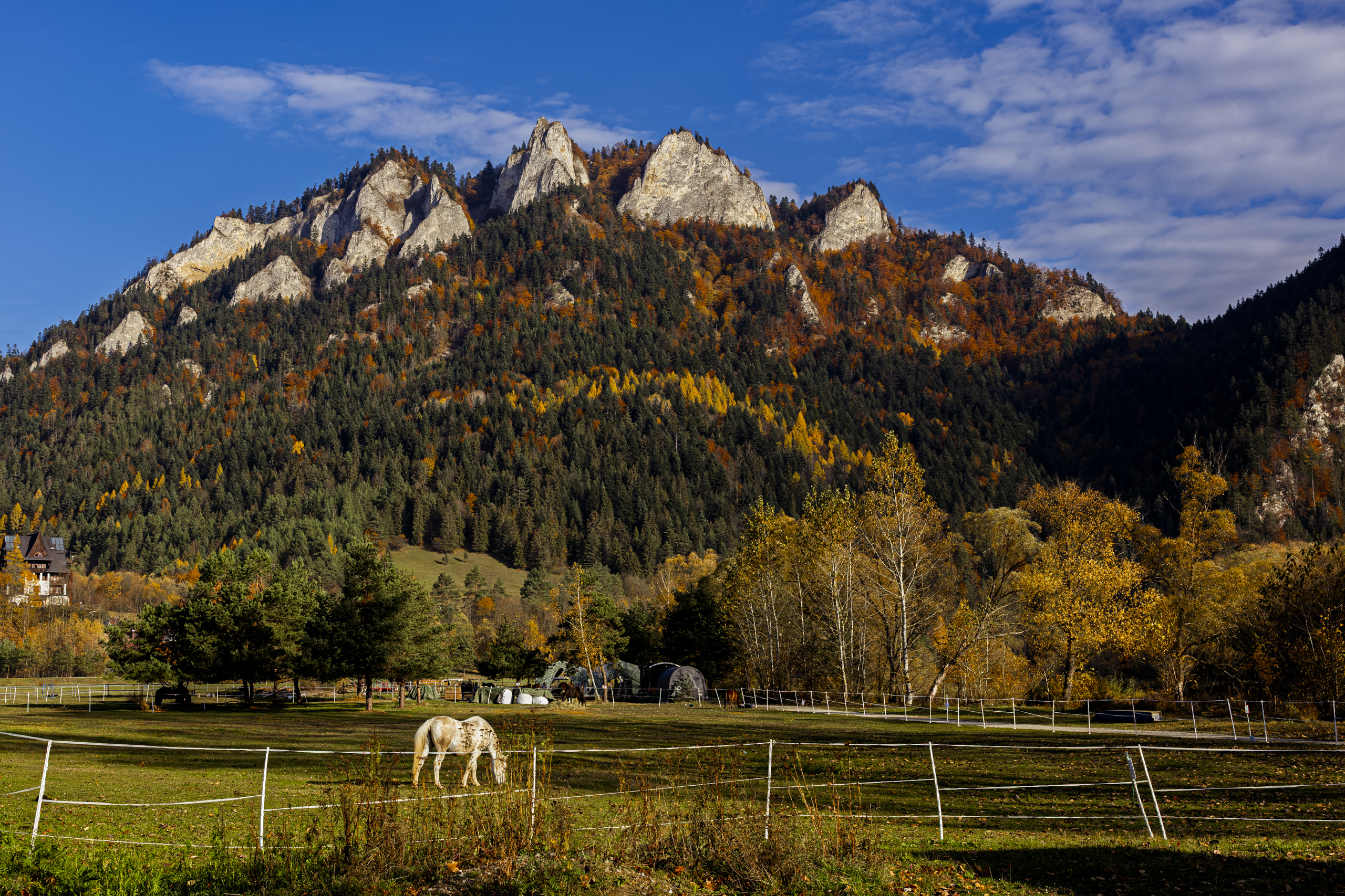
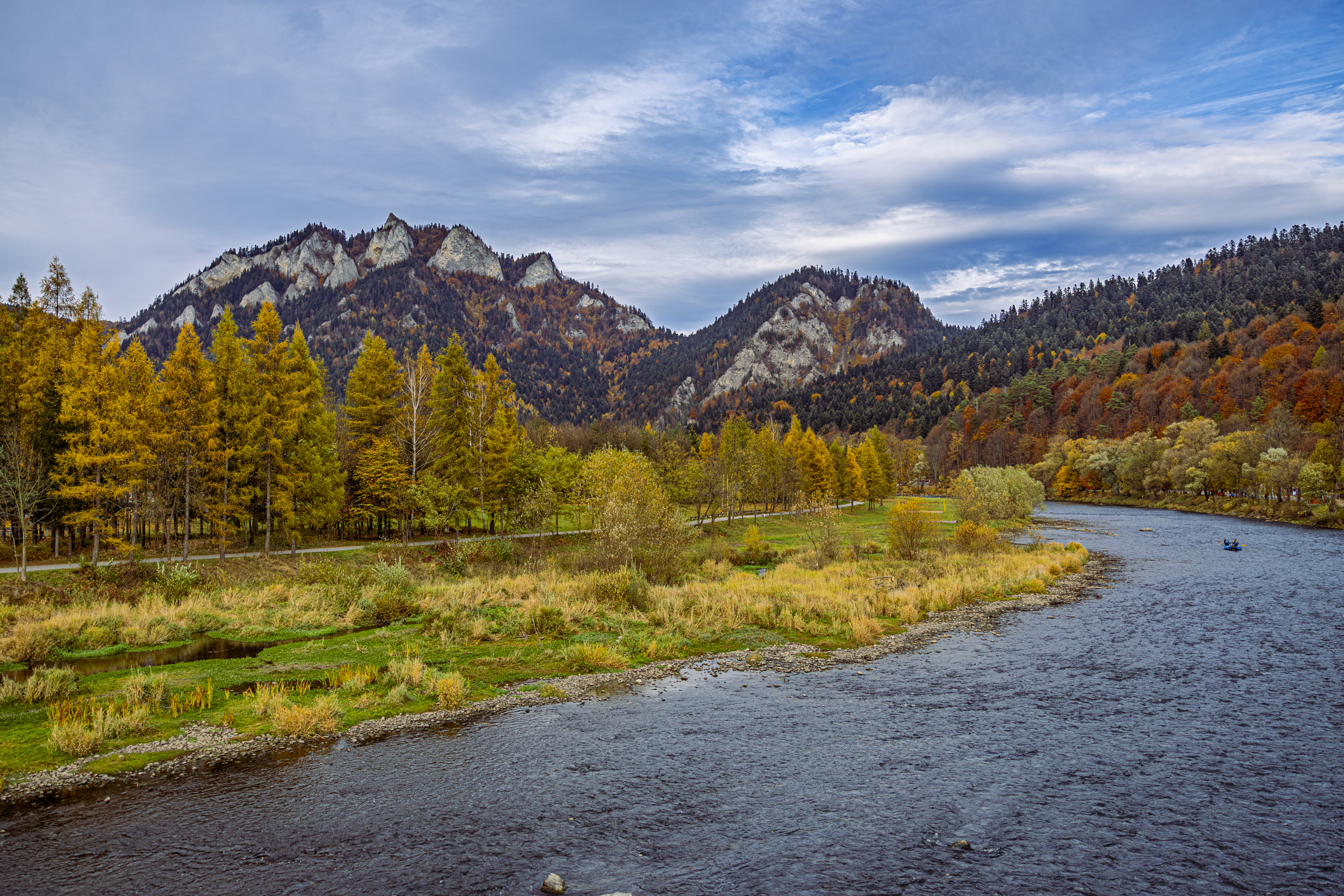
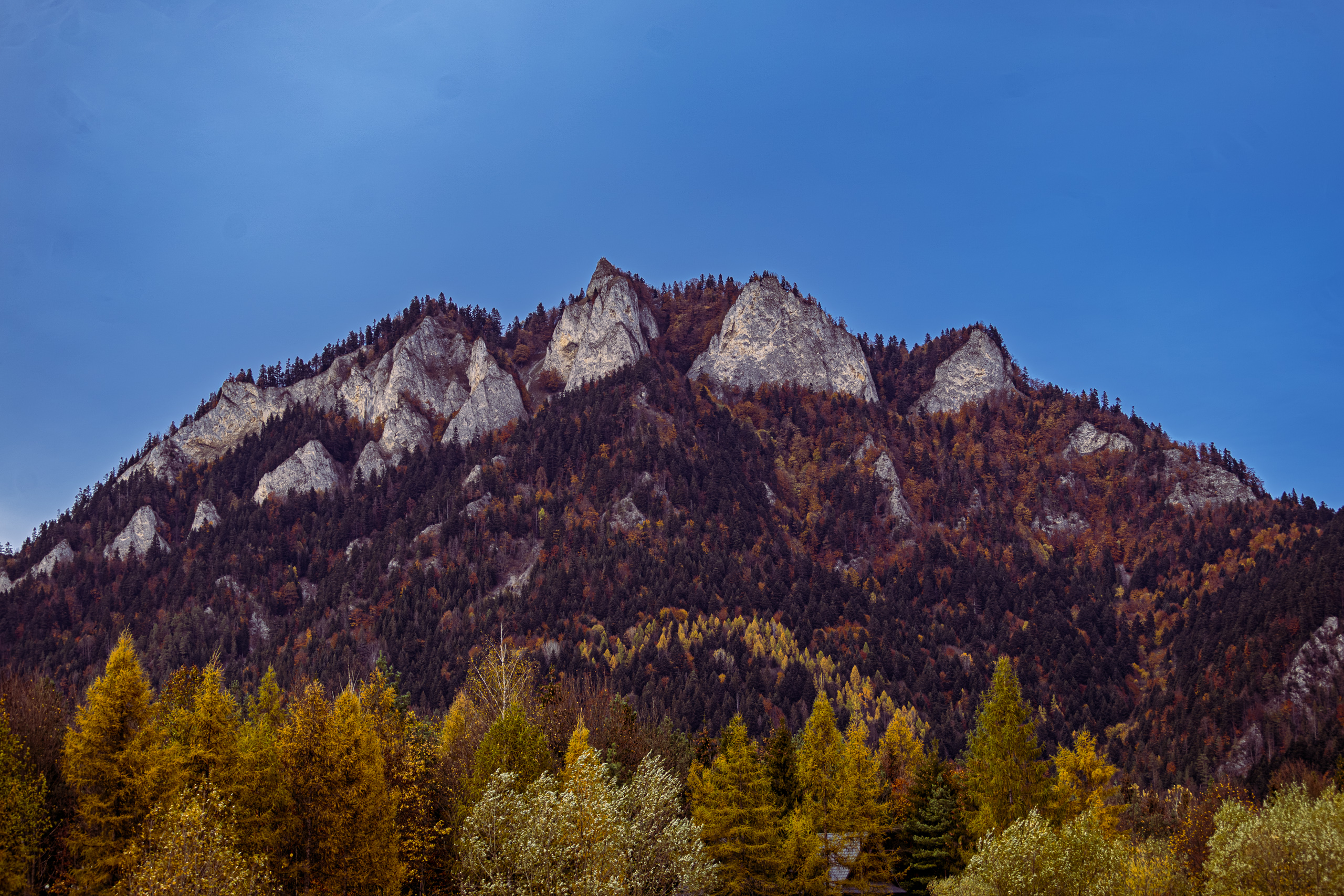
The mountain is called the Three Crowns, it has five peaks, and nobody knows to this day where the three came from. It stands above Sromowce Niżne, where Poland ends at the Dunajec river, and its limestone wall rises over meadows where horses graze. It is the best known mountain of the Pieniny range. We spent the last Sunday of October on a loop around it: up a green trail through a golden forest to Okrąglica, down through a pass with the charming name Chwała Bogu, Praise Be to God, and a gorge where, reportedly, ambushes were once laid for the Swedes, and finally over a footbridge to Slovakia, to a monastery from which, legend has it, one of the monks flew away on wings.
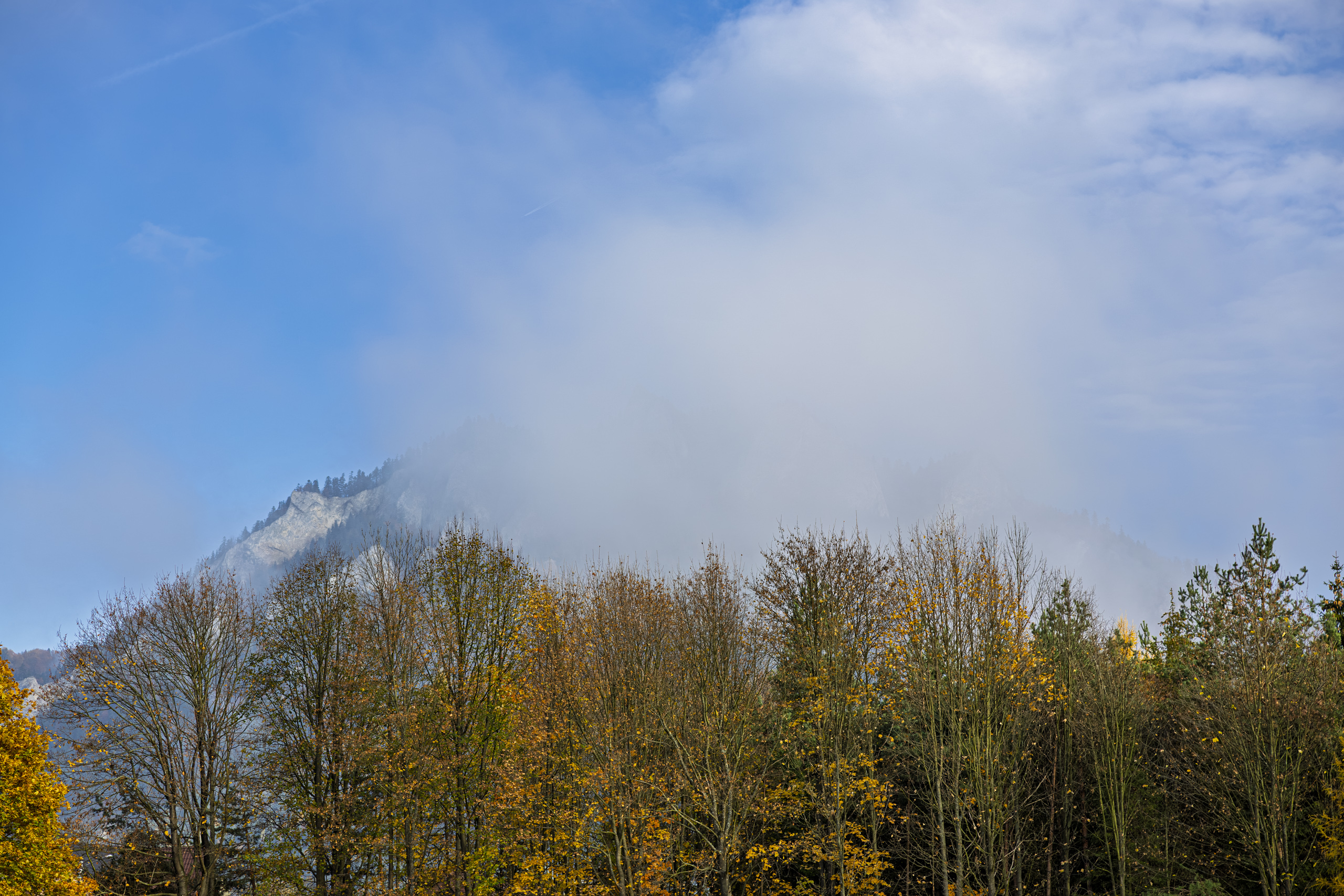
The village under the crown
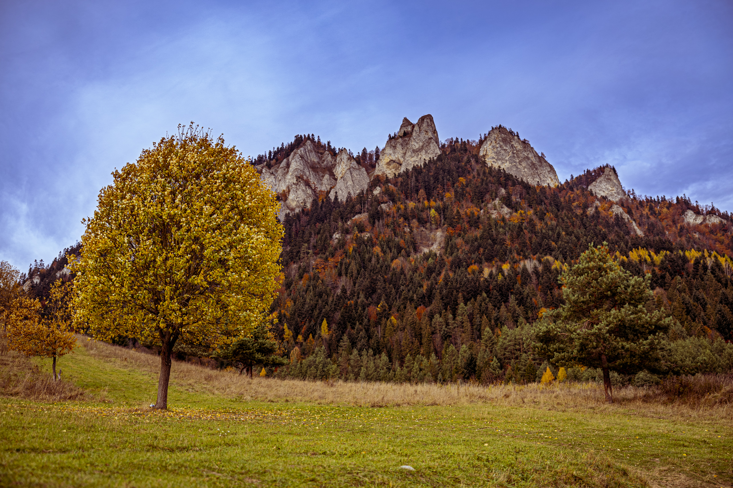
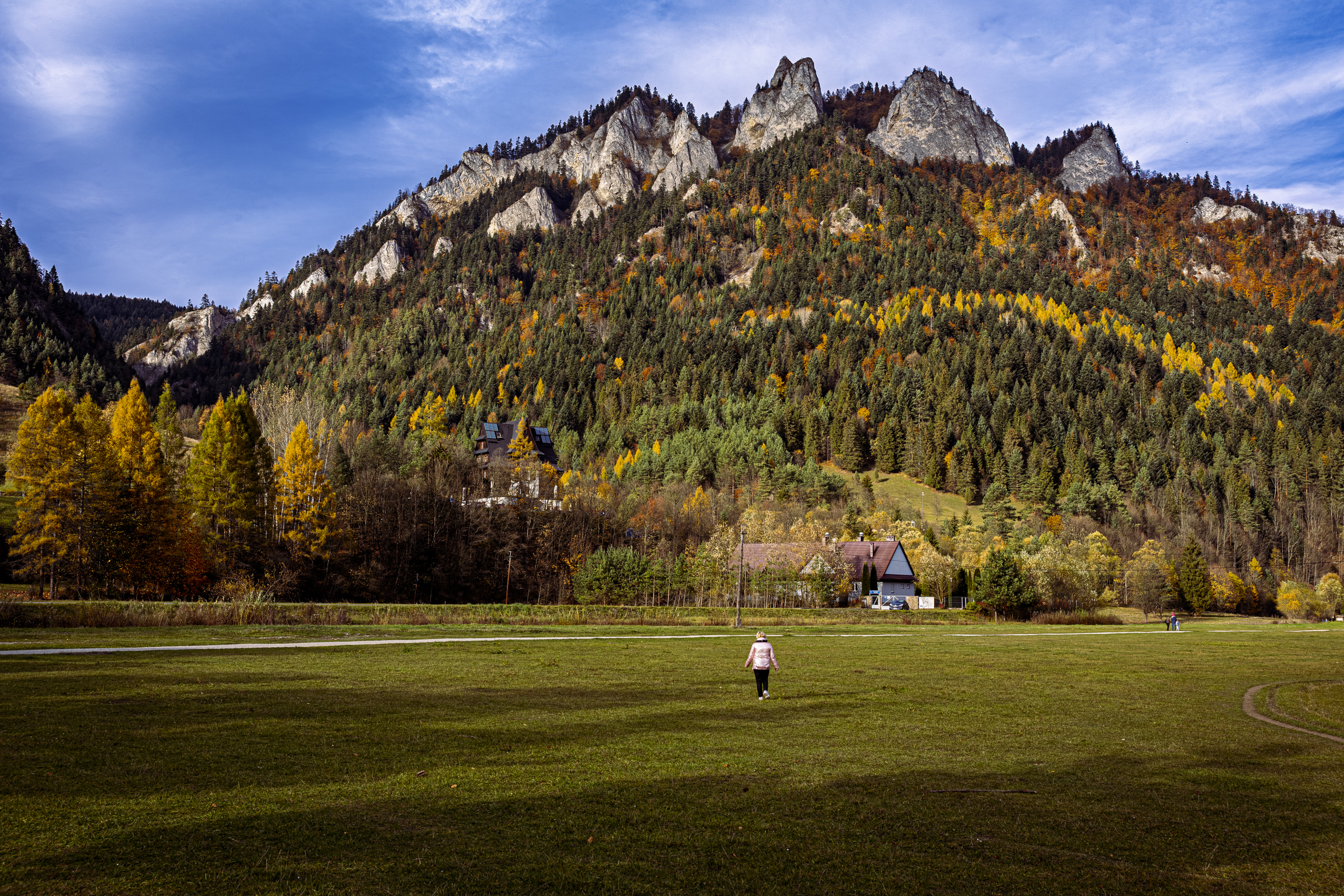
The village was founded in the first half of the 14th century on land belonging to the Poor Clares of Stary Sącz. In 1832 the first rafting trips for tourists set off down the Dunajec from Sromowce, and in 1934 the Polish Association of Pieniny Raftsmen was founded here, which is still active today. From the meadows you can see where the mountain got its name: the rocky crest above the forest looks like a crown.
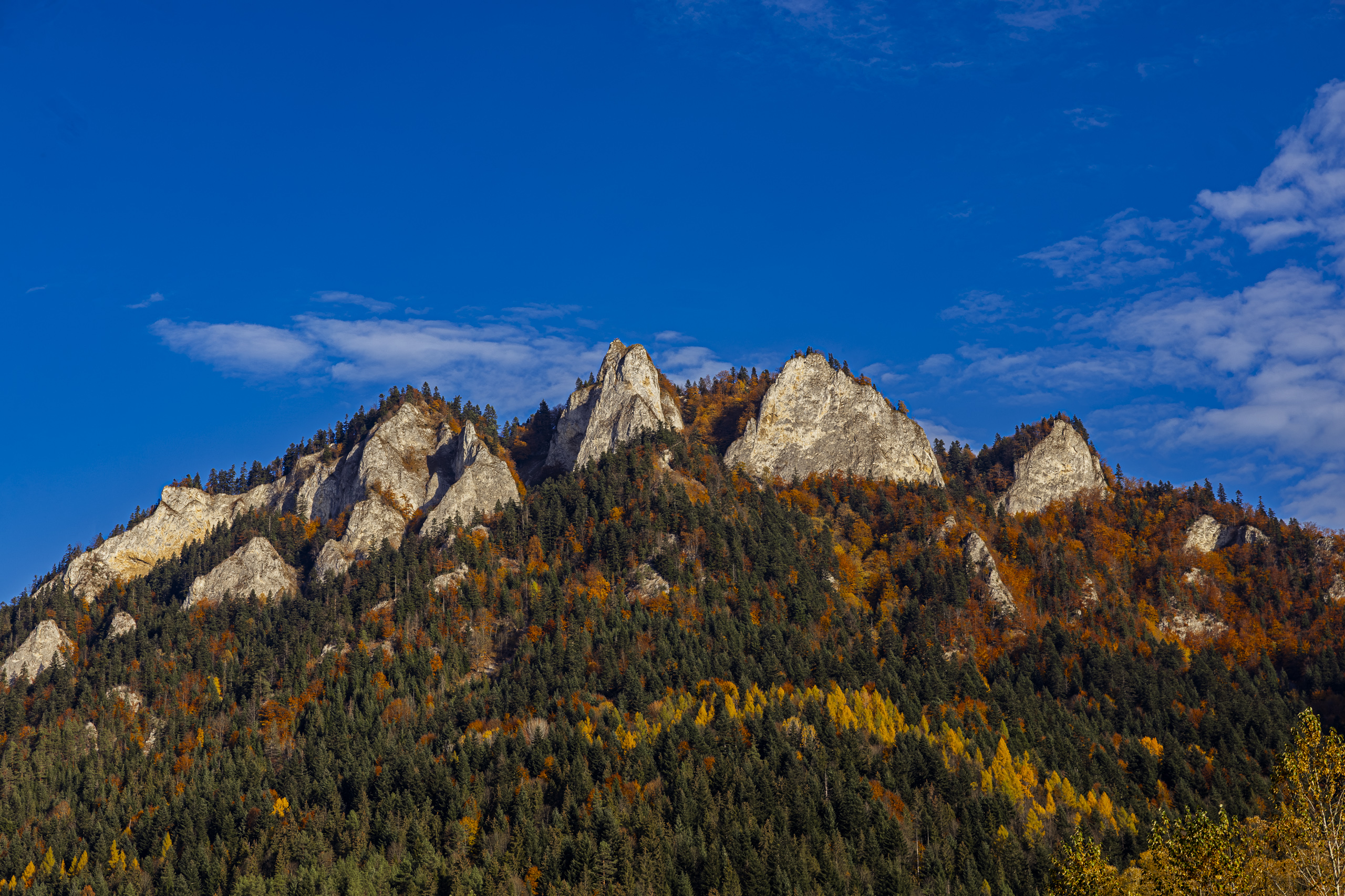
The name itself is younger than you might think. For centuries the mountain was simply called Pieniny. In 1834, under Austrian rule, the German name Kronenberg, the Crown, appeared in documents. “Trzy Korony”, the Three Crowns, caught on only around 1860. Why three, when you can see five peaks from below, nobody knows. Some say it is simply the shape: from the Dunajec the massif looks like a crown. Guides like to joke that climbing the summit once cost three crowns. The snag is that Austria-Hungary introduced the crown as its currency only in 1892, more than thirty years after the name. A legend, in turn, says that Princess Kinga, fleeing the Tatars, threw her crown behind her, and rocks grew out of it and stopped the invaders. The origin of the name has never been settled. My own theory is that a crown sounded proud, and three simply sounded better than five.
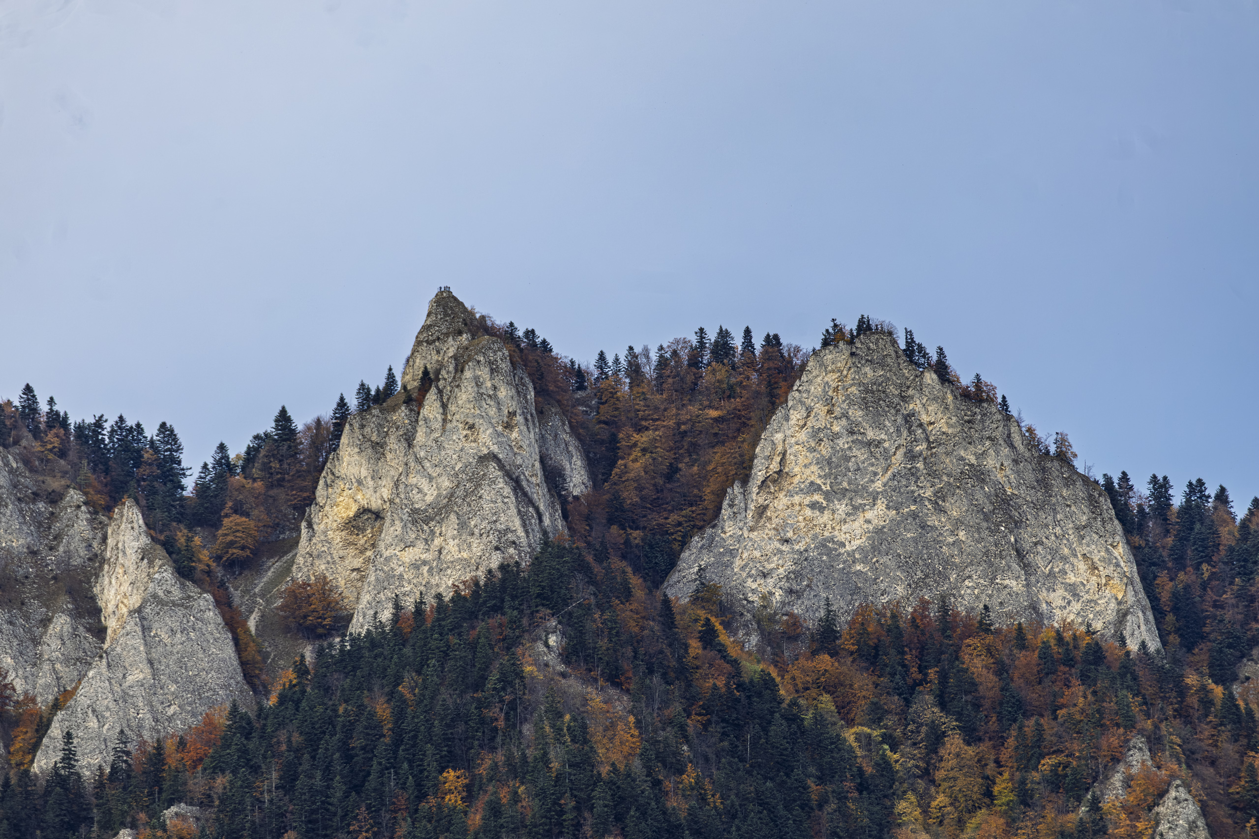
The raftsmen, who have floated under this wall for generations, count honestly to five anyway. It is said that for them the peaks are a family, named from the left: Stooping Grandad, Stately Granny and three granddaughters, Tall Kate, Plump Barbara and Shaggy Mary. Plump Barbara is said to be Płaska Skała, and Shaggy Mary Pańska Skała. Why exactly these names, nobody can tell today. Reportedly the highlanders of Szczawnica stick to them more firmly than to the names on the map.
The first recorded ascent dates from 1767, and regular tourists began to come around 1830.
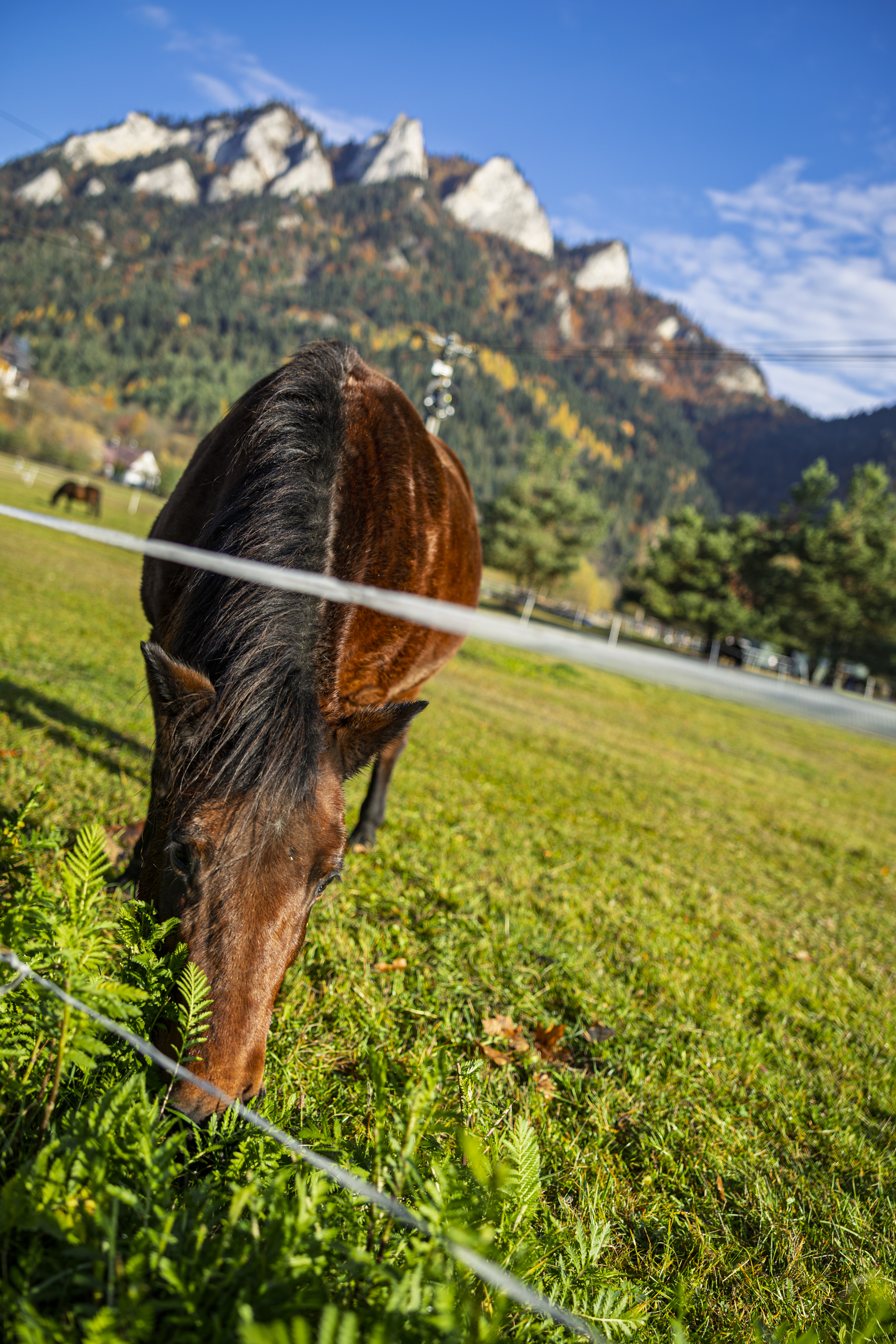
We set off from the village. The Tao Te Ching, a book tradition attributes to the Chinese philosopher Lao Tzu, contains a line best known as “A journey of a thousand miles begins with a single step”. Historians are not even sure Lao Tzu ever existed. Our journey was shorter, but the principle is the same.
The yellow trail leads from the village up to the PTTK “Trzy Korony” mountain hostel. The building went up at the turn of 1929 and 1930 on the initiative of the Tourism Commission of the Silesian Voivodeship, designed by the director of a building school in Katowice. In a few years it will turn one hundred. Beyond the hostel the tarmac ends and gravel begins, and higher up, stones.
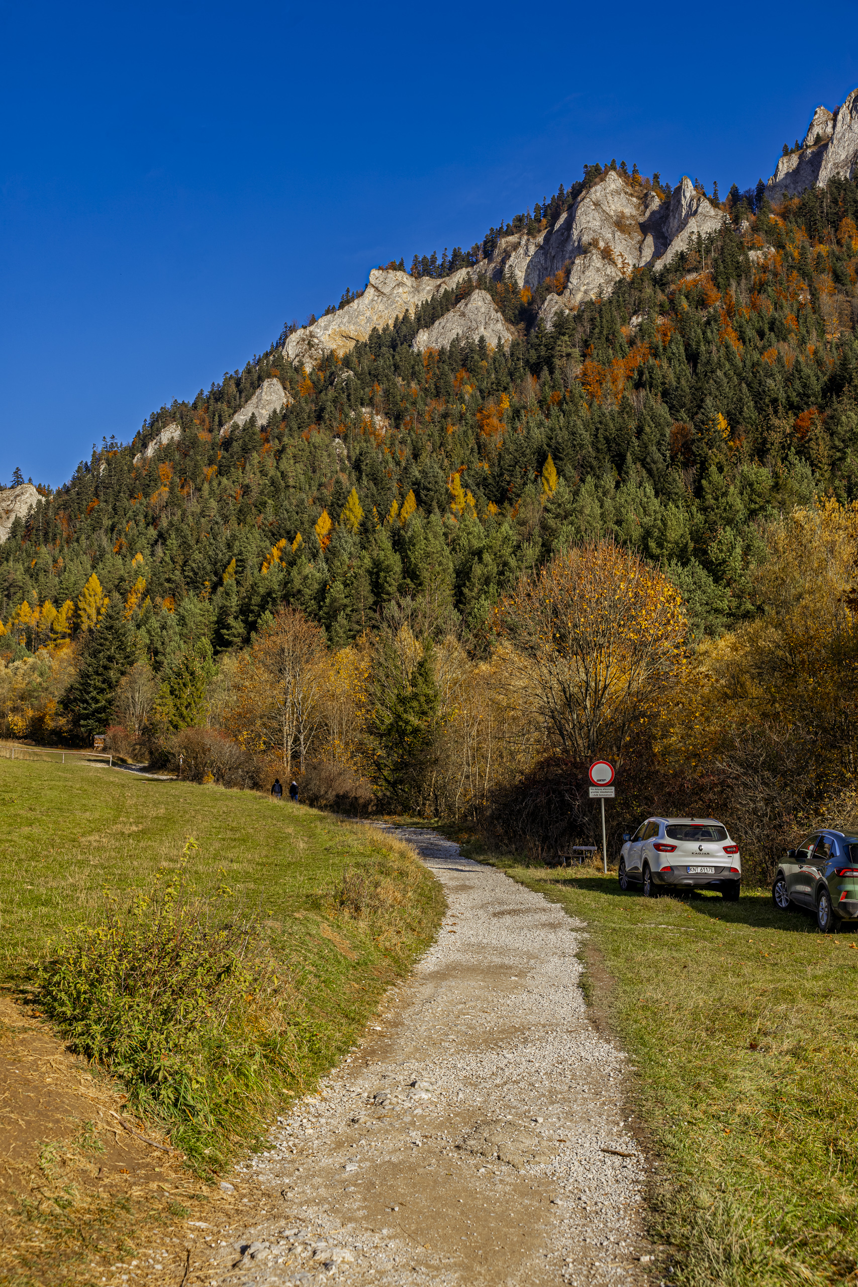
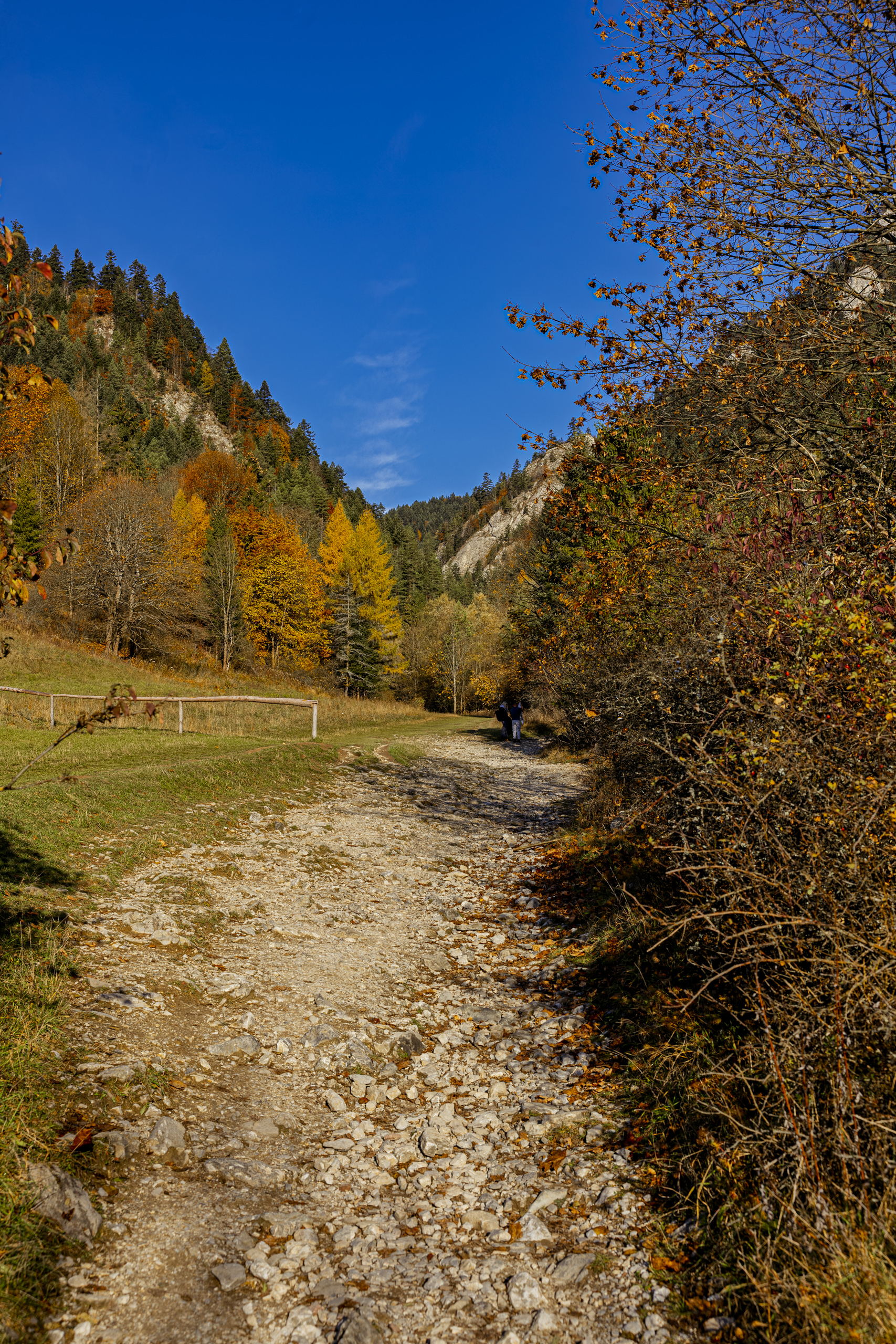
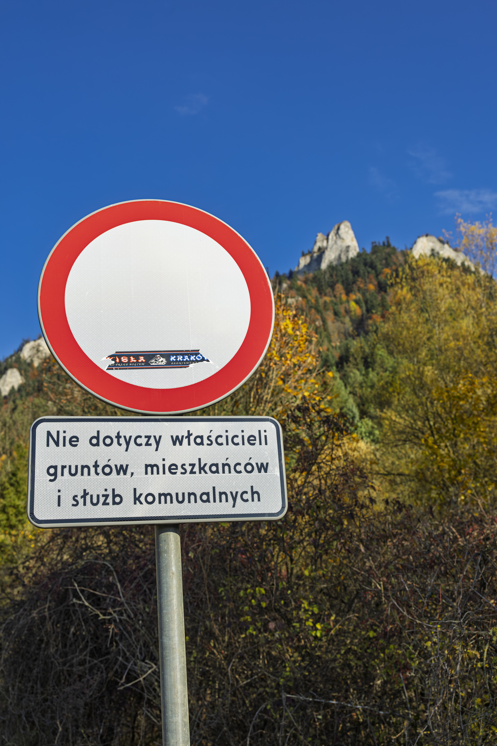
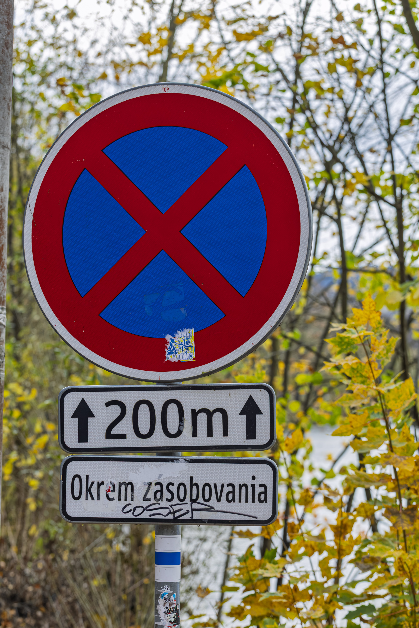
By the road stands a no entry sign with a plate listing who it does not apply to: landowners, residents and municipal services. It does apply to tourists, so they walk. Nobody complains, because it is a lovely stretch: meadows on one side, forest on the other, and limestone walls getting closer overhead.
The shrine at the crossroads
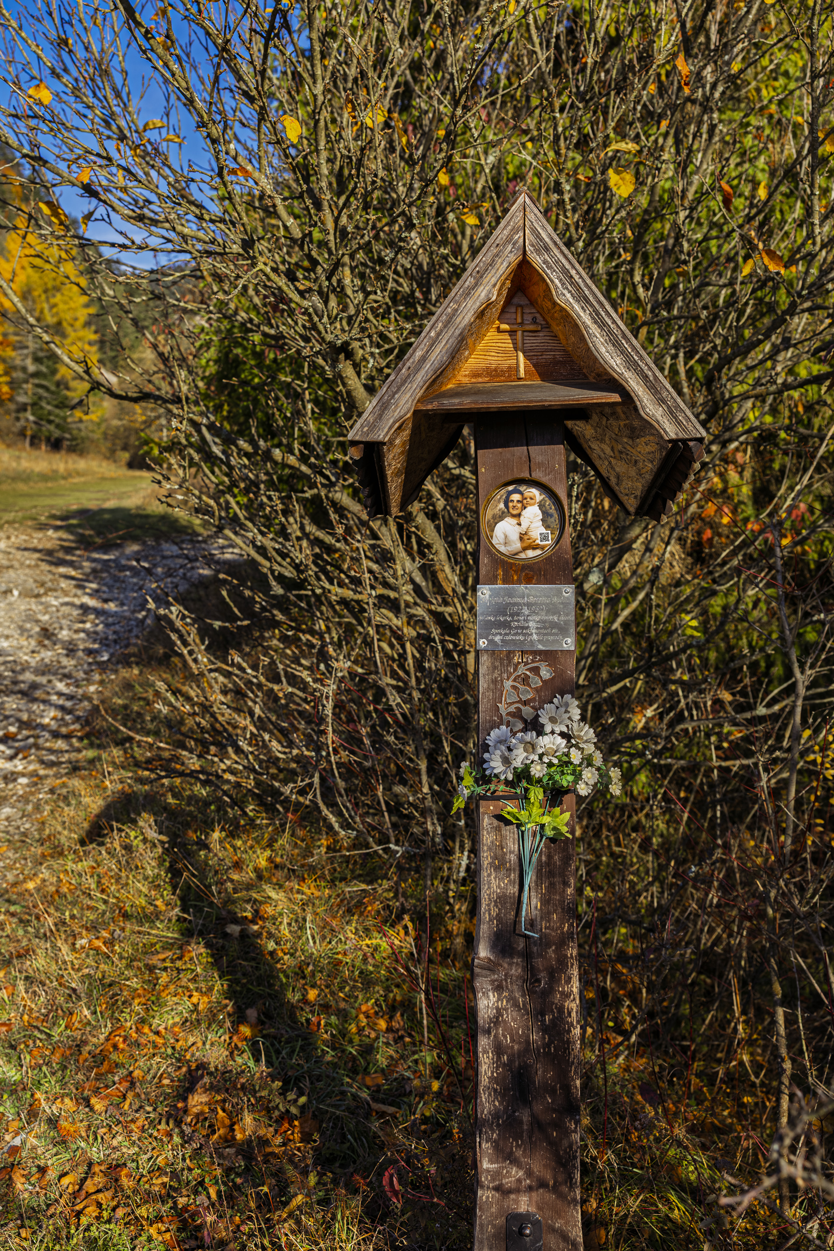
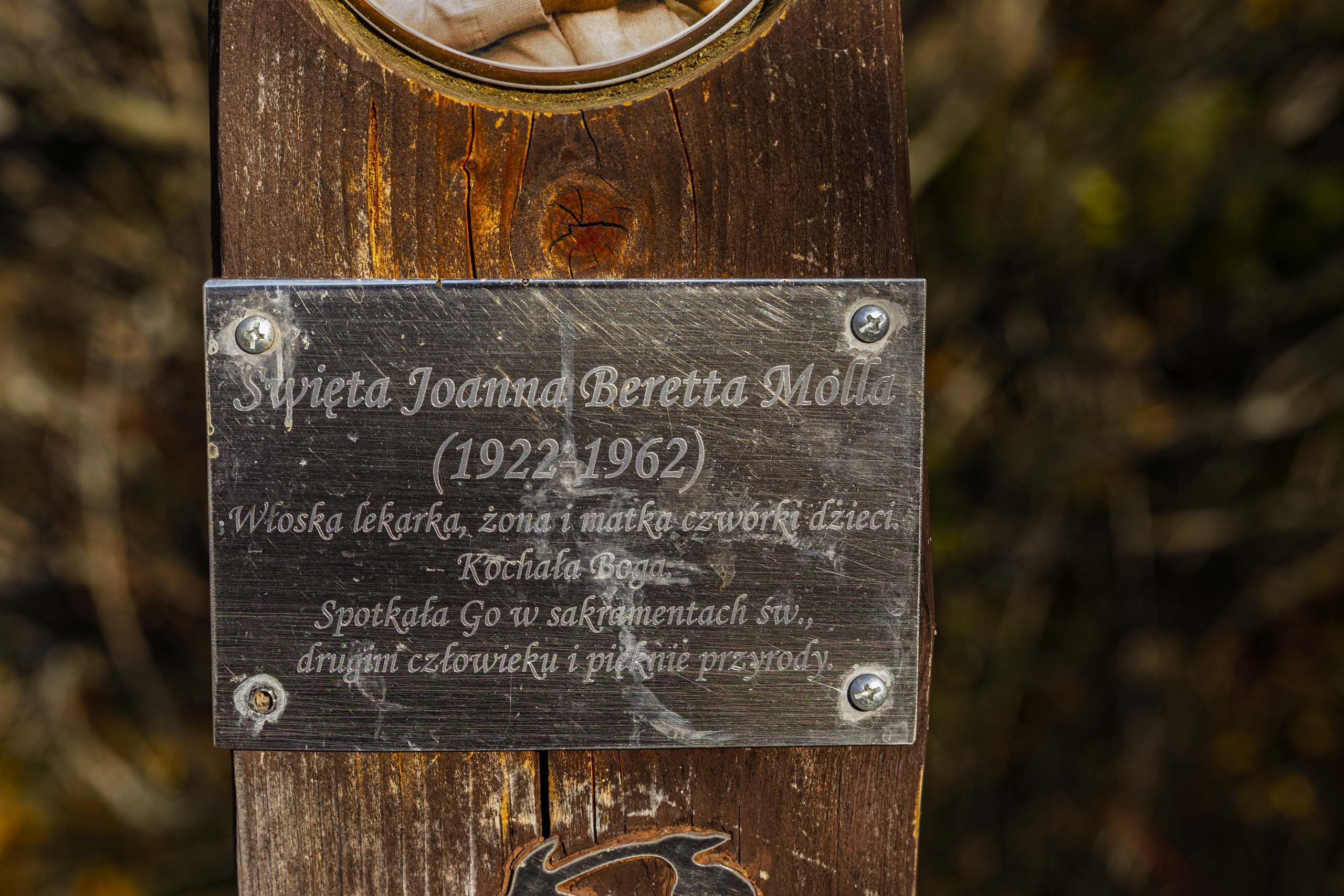
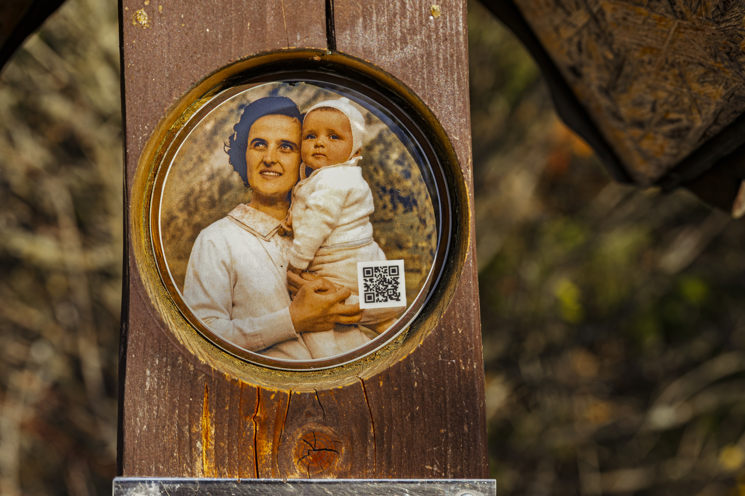
Above the hostel, at a fork in the trails, stands a wooden shrine to St Gianna Beretta Molla. The plaque sums her up briefly: “An Italian doctor, wife and mother of four. She loved God. She met Him in the holy sacraments, in other people and in the beauty of nature.”
She was born in 1922 near Milan and worked as a paediatrician. During her fourth pregnancy a tumour was found in her uterus. She chose a treatment that gave the baby a chance, although it was more dangerous for herself. Her daughter was born in April 1962, and the mother died a week later. In 2004 John Paul II declared her a saint. Her husband was present at the canonisation.
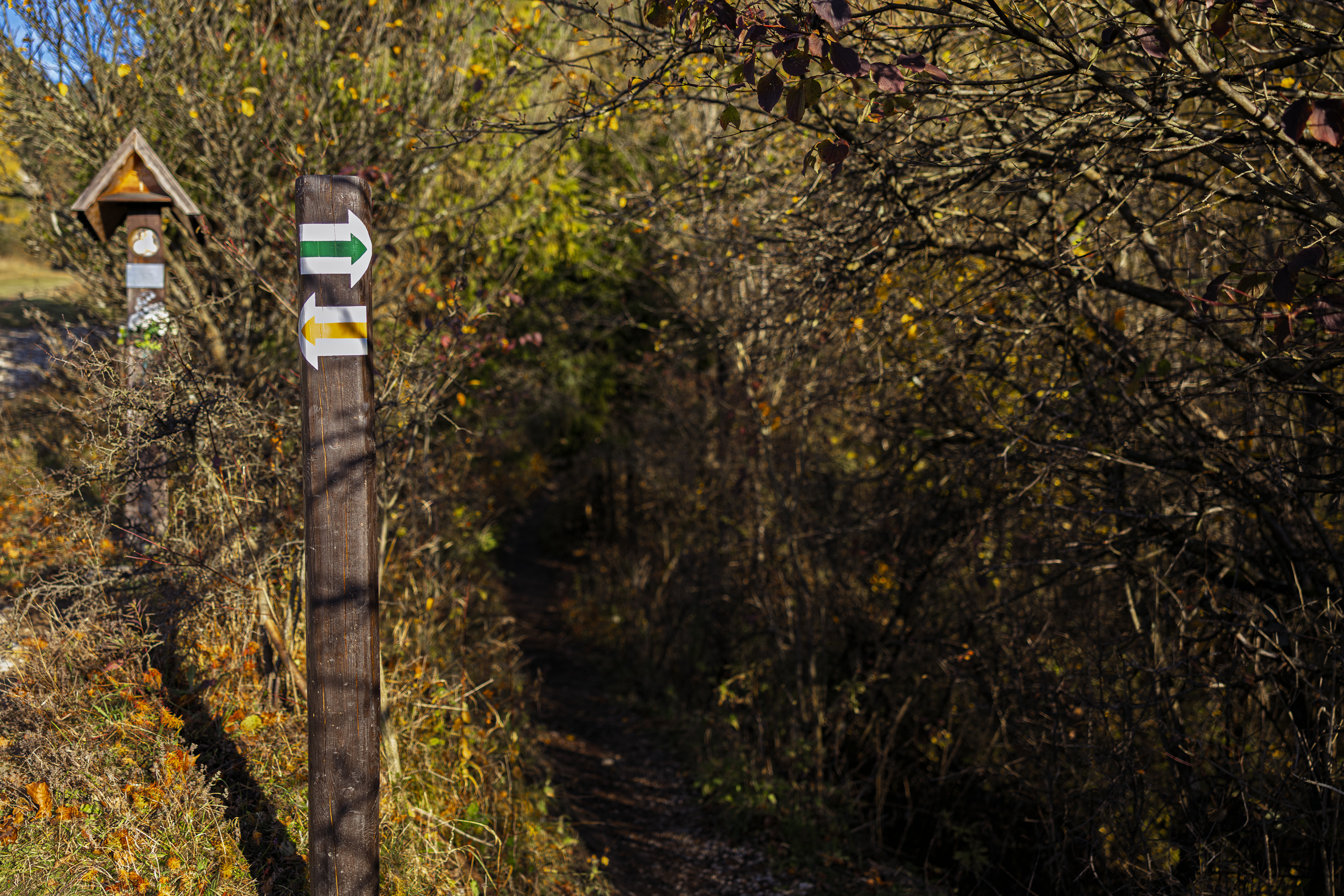
Here we left the yellow trail for the green one.
Green trail through a golden forest
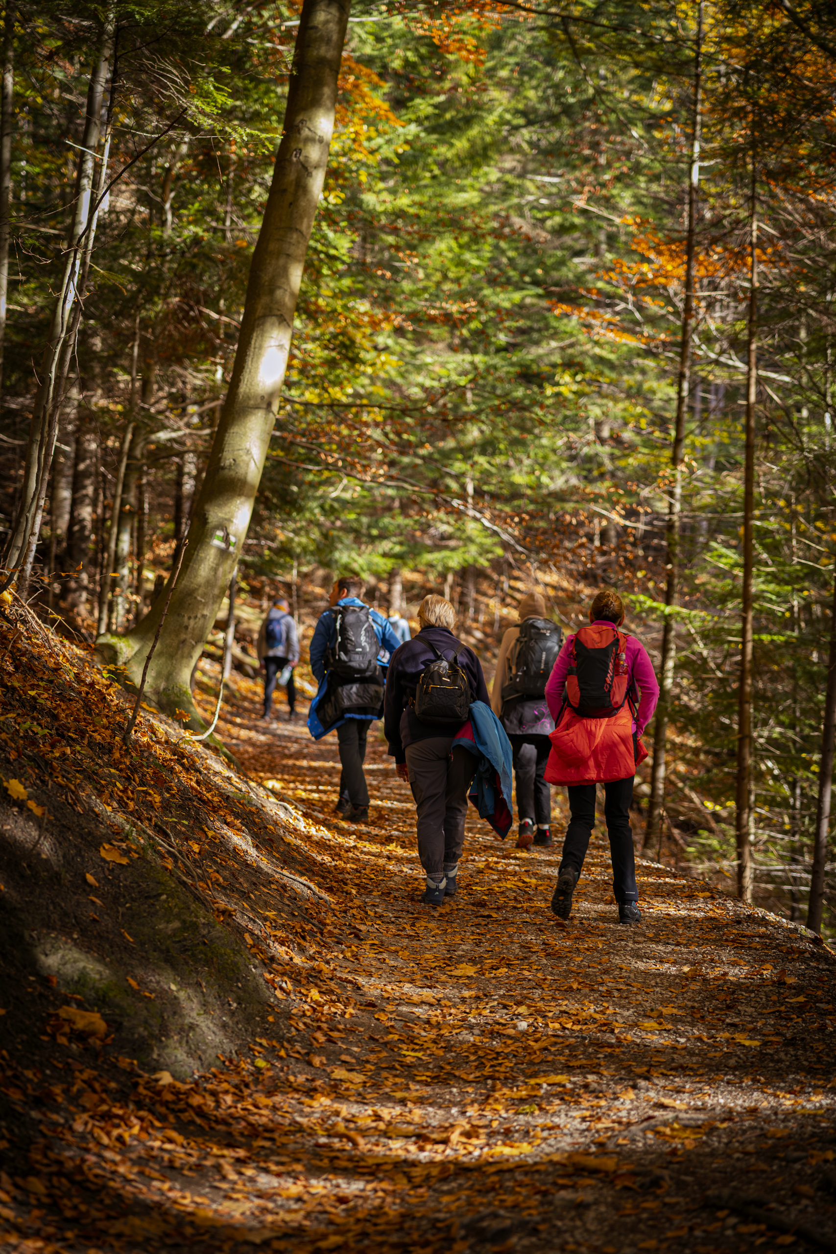
The green trail starts modestly: a narrow path through the undergrowth, single file, one behind another. Only after a while do the bushes give way to tall forest.
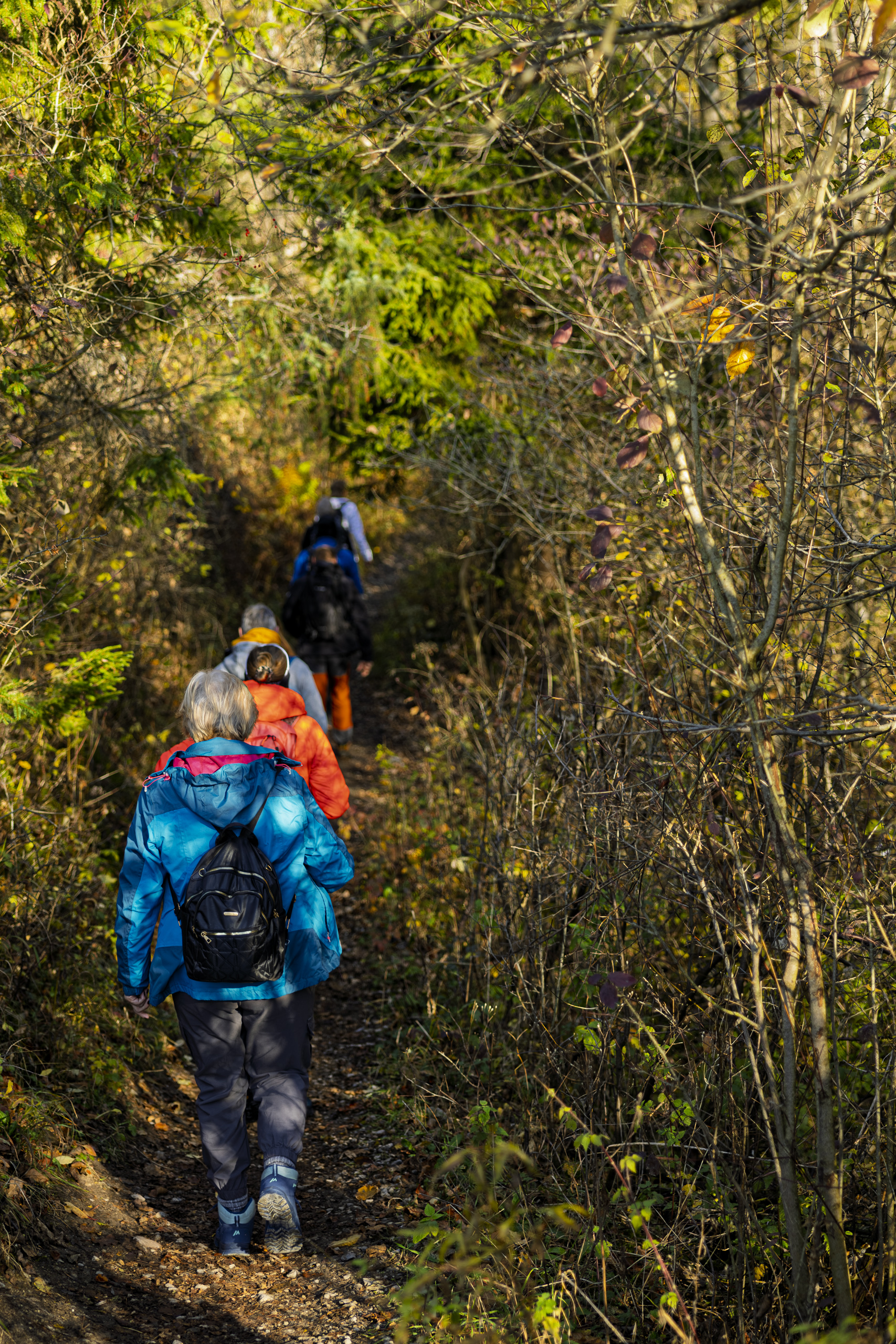
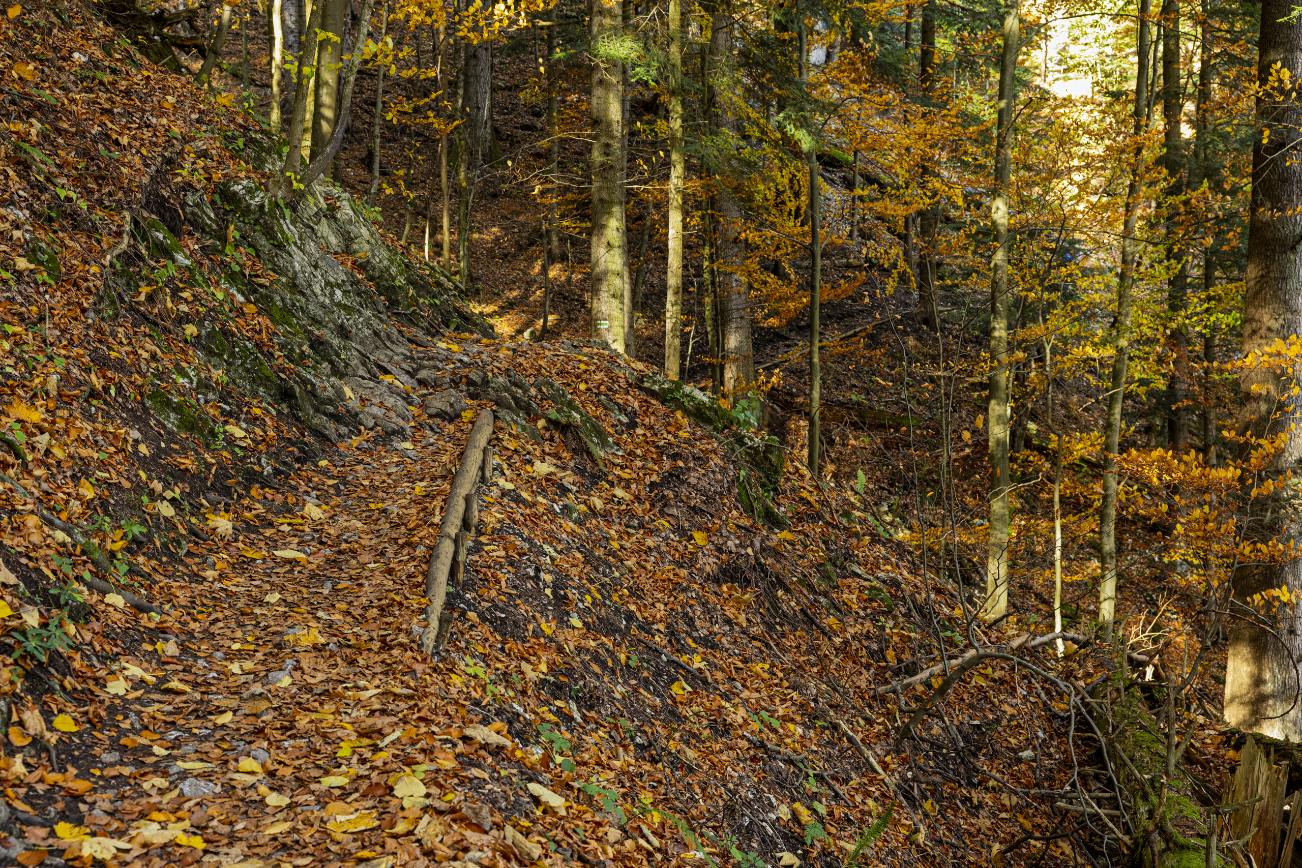
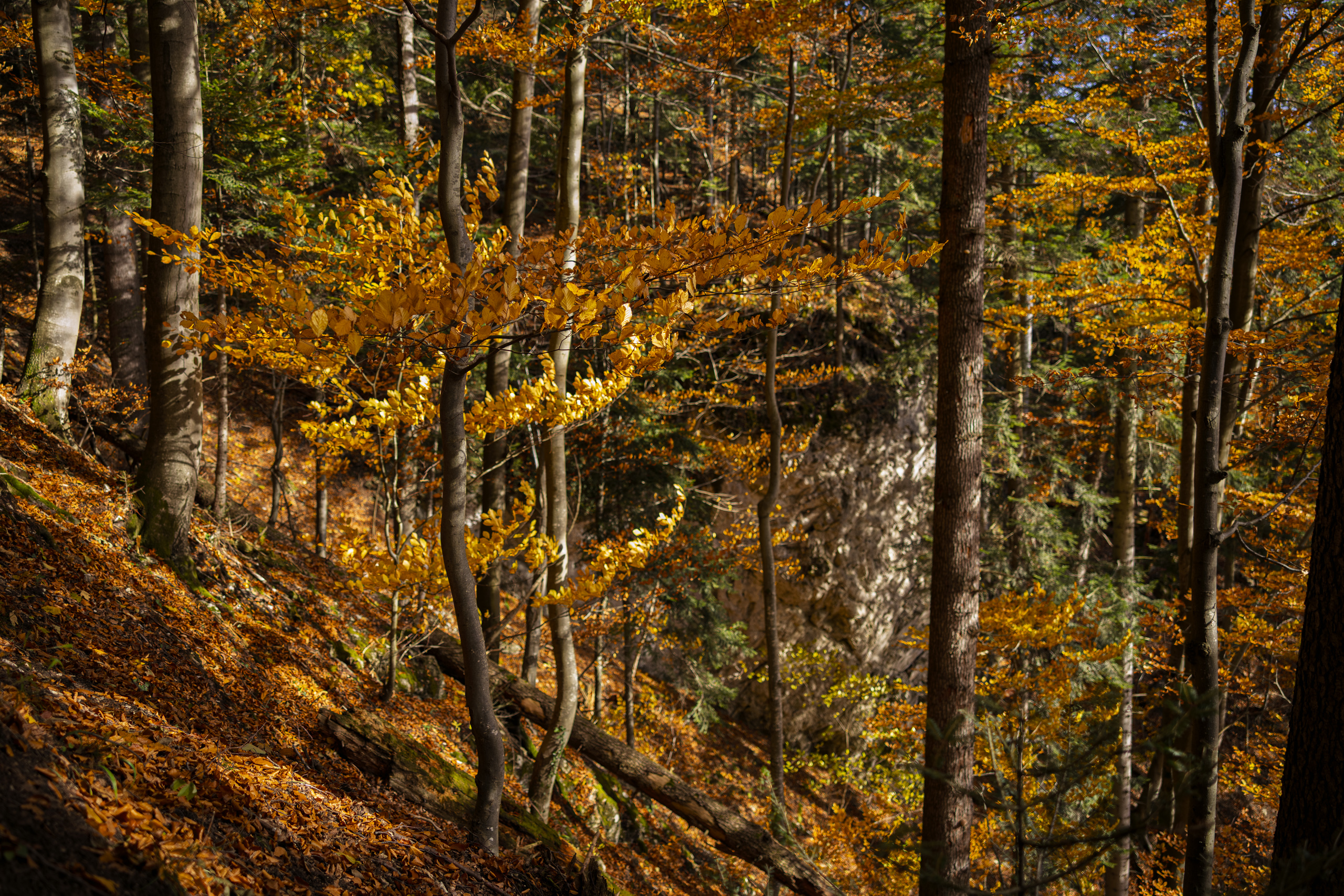
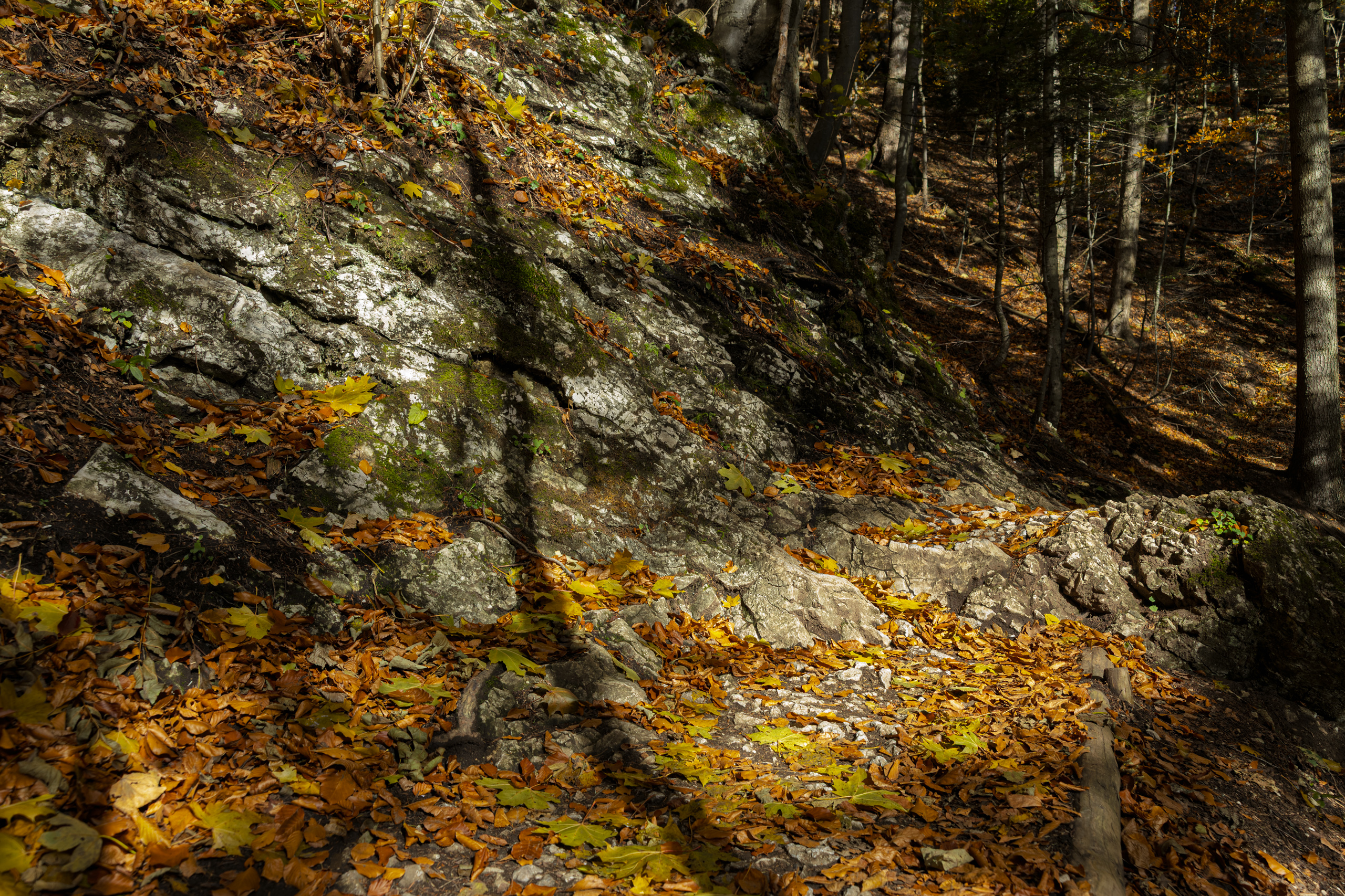
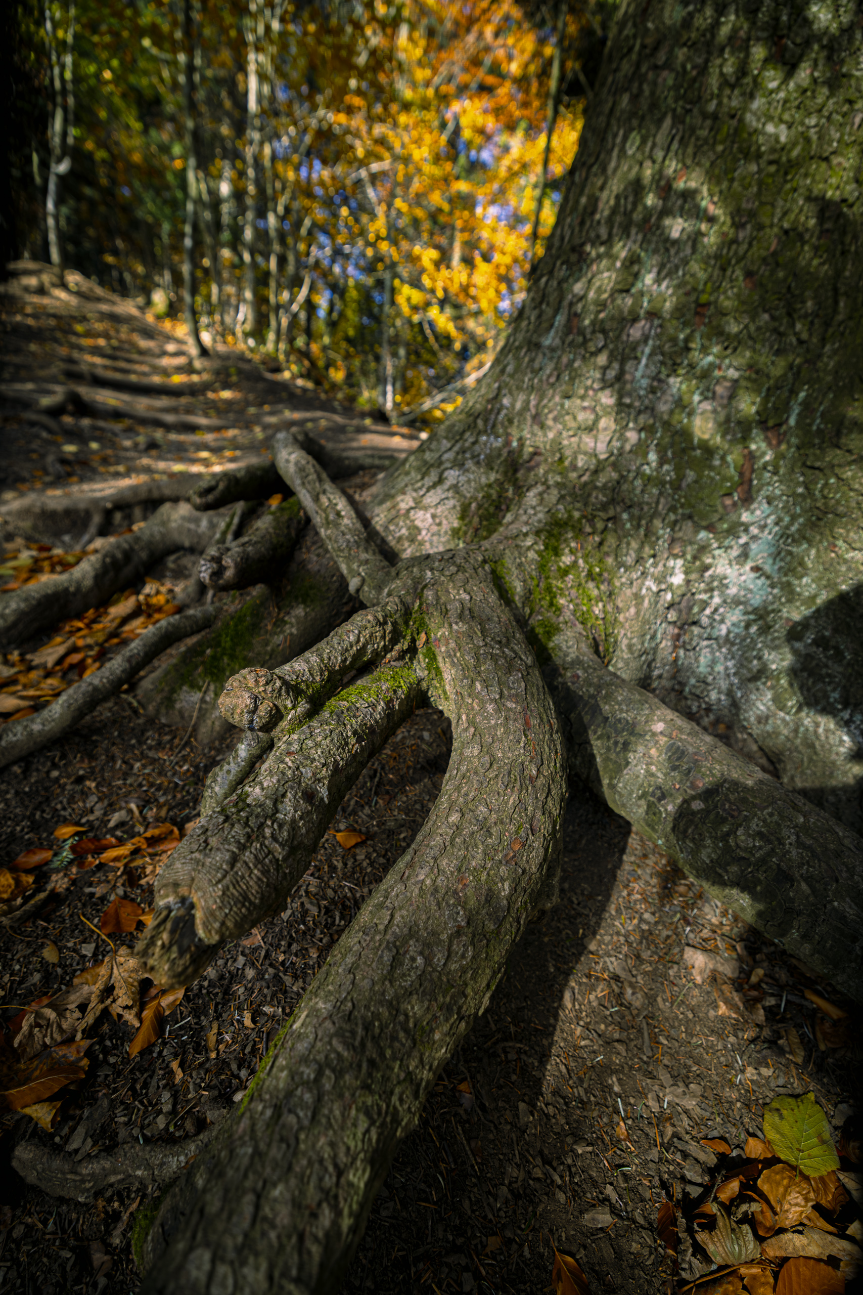
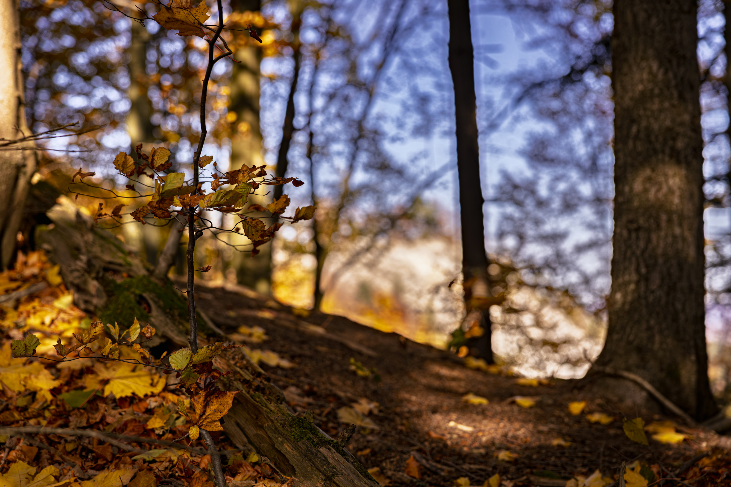
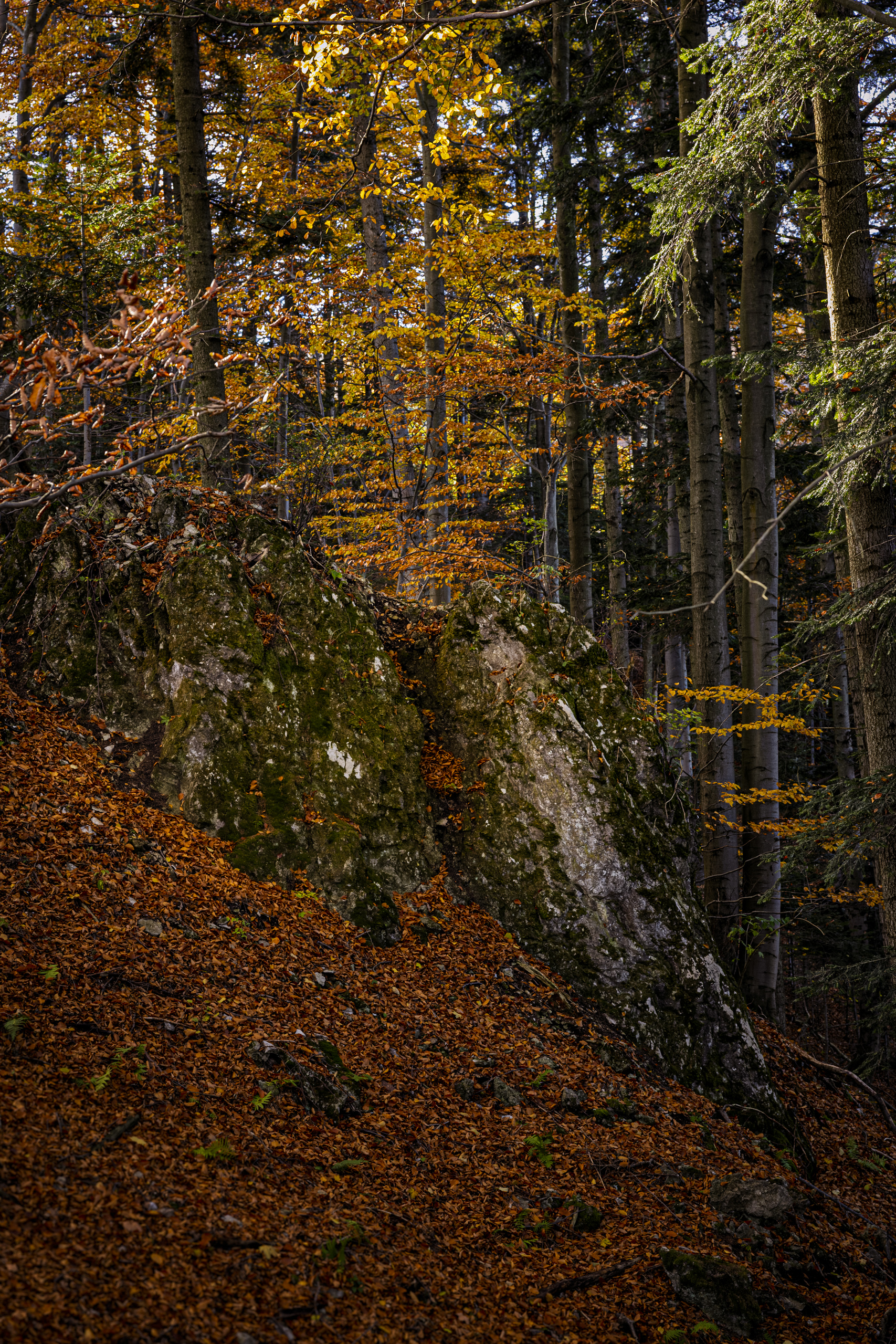
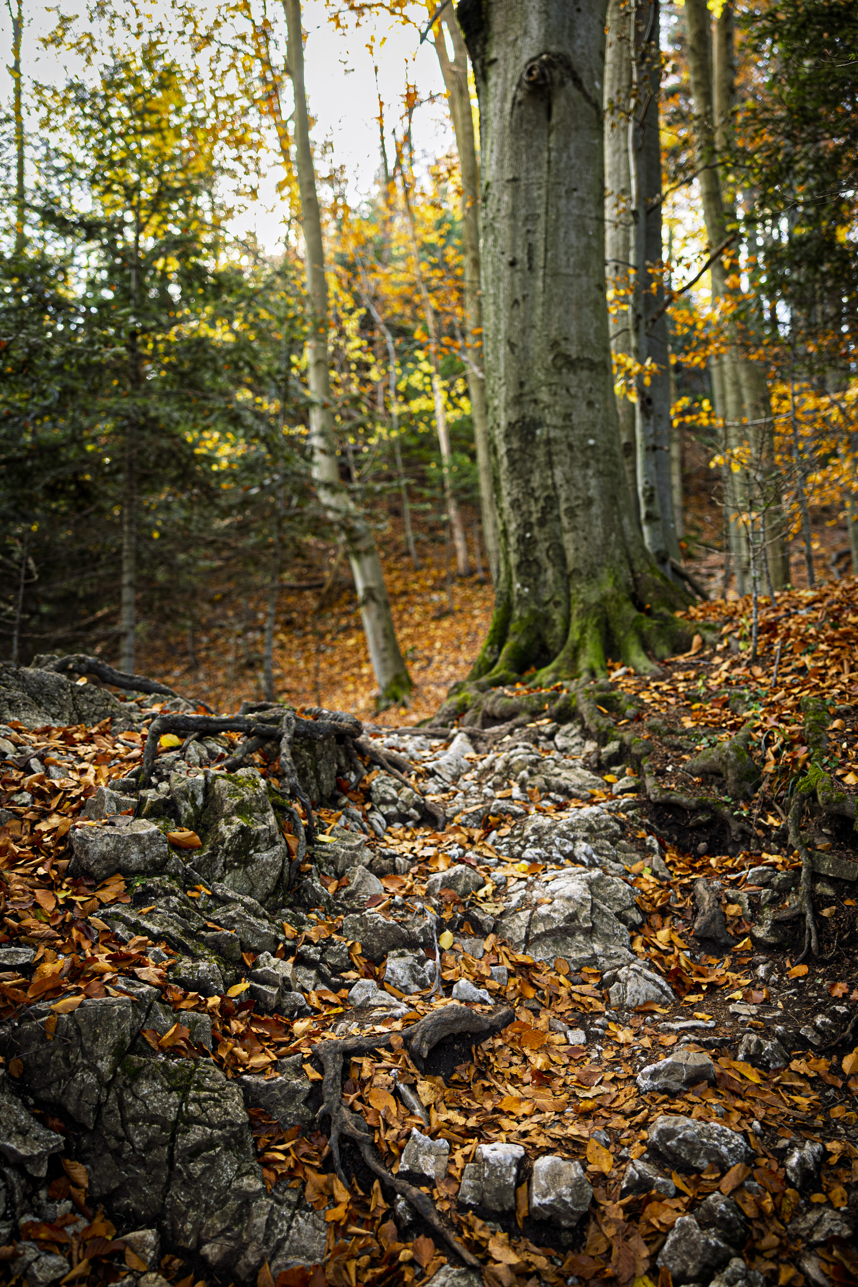
It is probably the quietest way to the summit. It runs through beech and fir forest, over roots, wooden steps and limestone slabs. At the end of October most leaves were already yellow and gold, and red was hard to find. Leaves rustled underfoot with every step, and the forest smelled of fallen, drying leaves. This is the forest of the Pieniny National Park, created on 1 June 1932. The state had bought the Three Crowns from private owners three years earlier, in 1929.
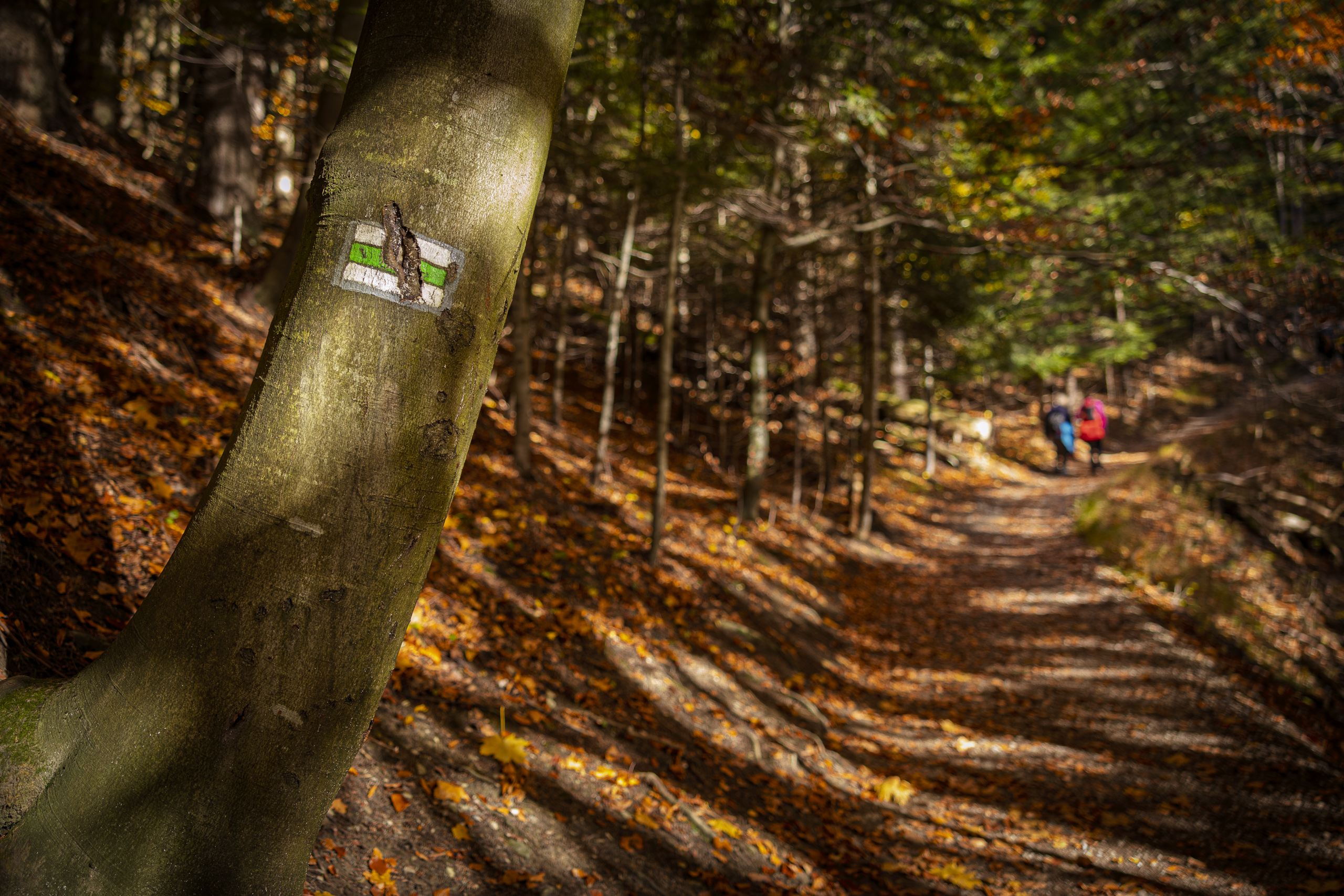
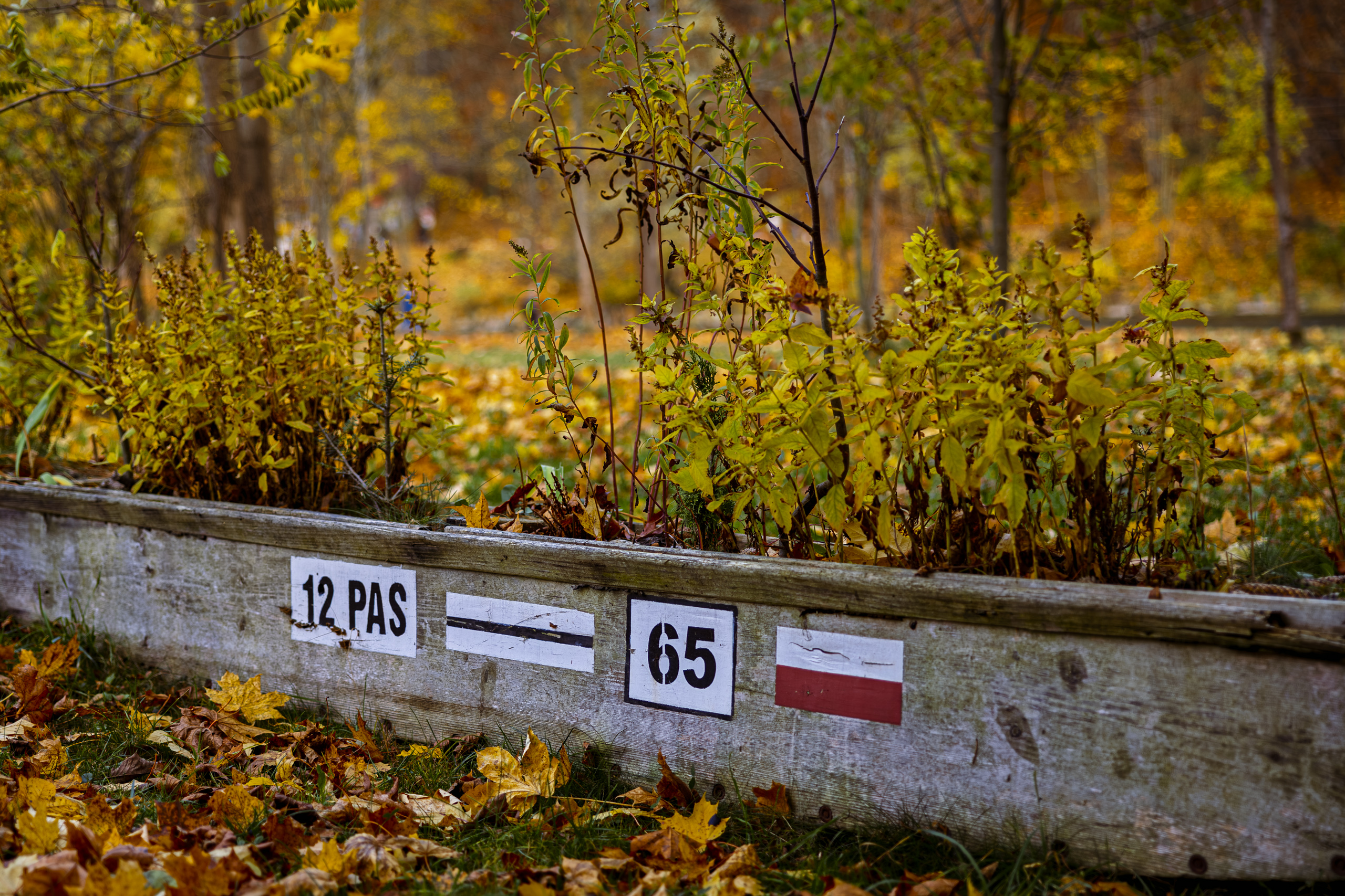
The trail is carefully marked, with signs on the beech trunks every few steps. Getting lost is hard, all the more so because the path is worn so clearly that it leads you by itself. John Muir, the Scottish American naturalist often called the father of the national parks in the United States, wrote: “In every walk with nature one receives far more than he seeks.” A national park is as good a place as any to test it.
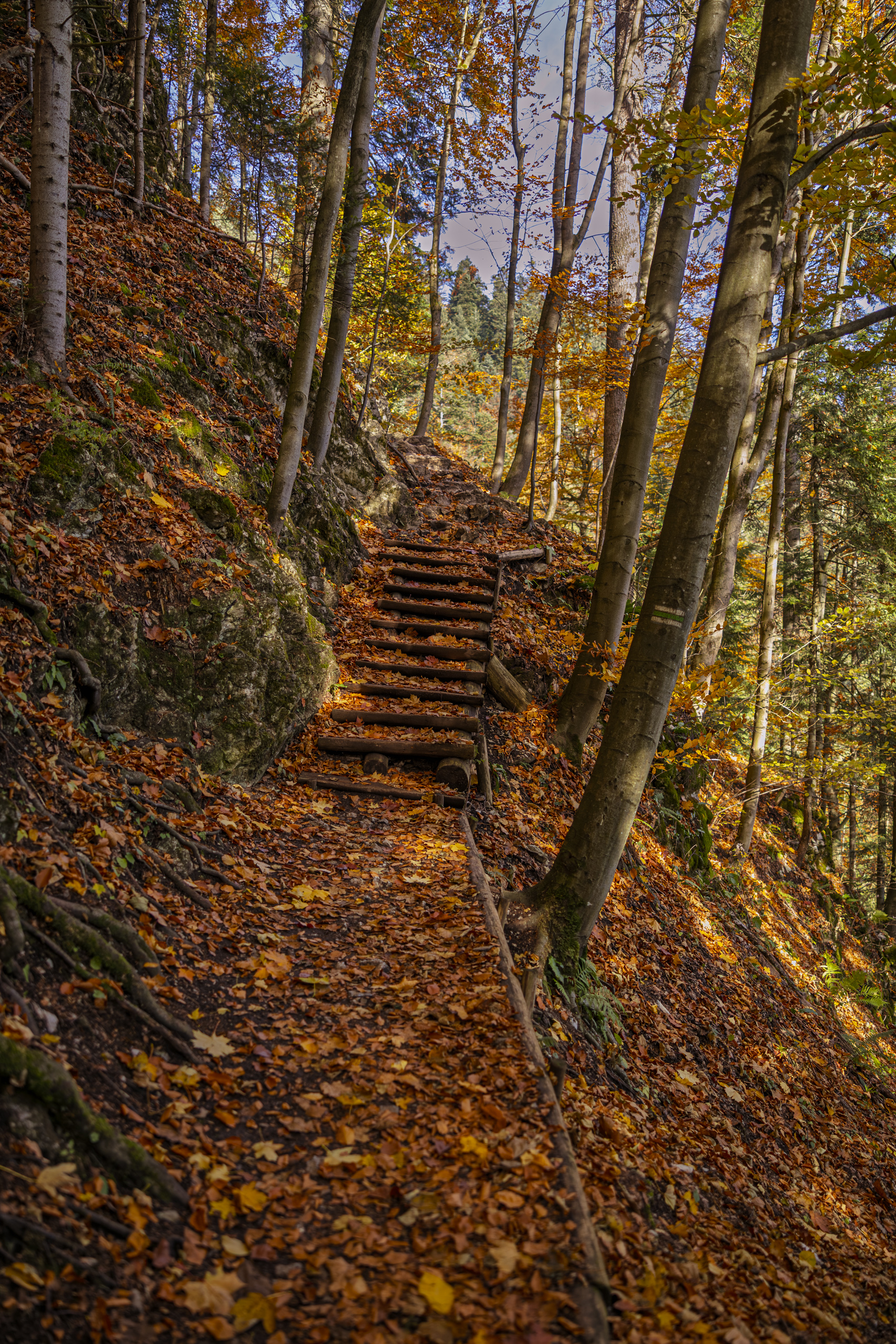
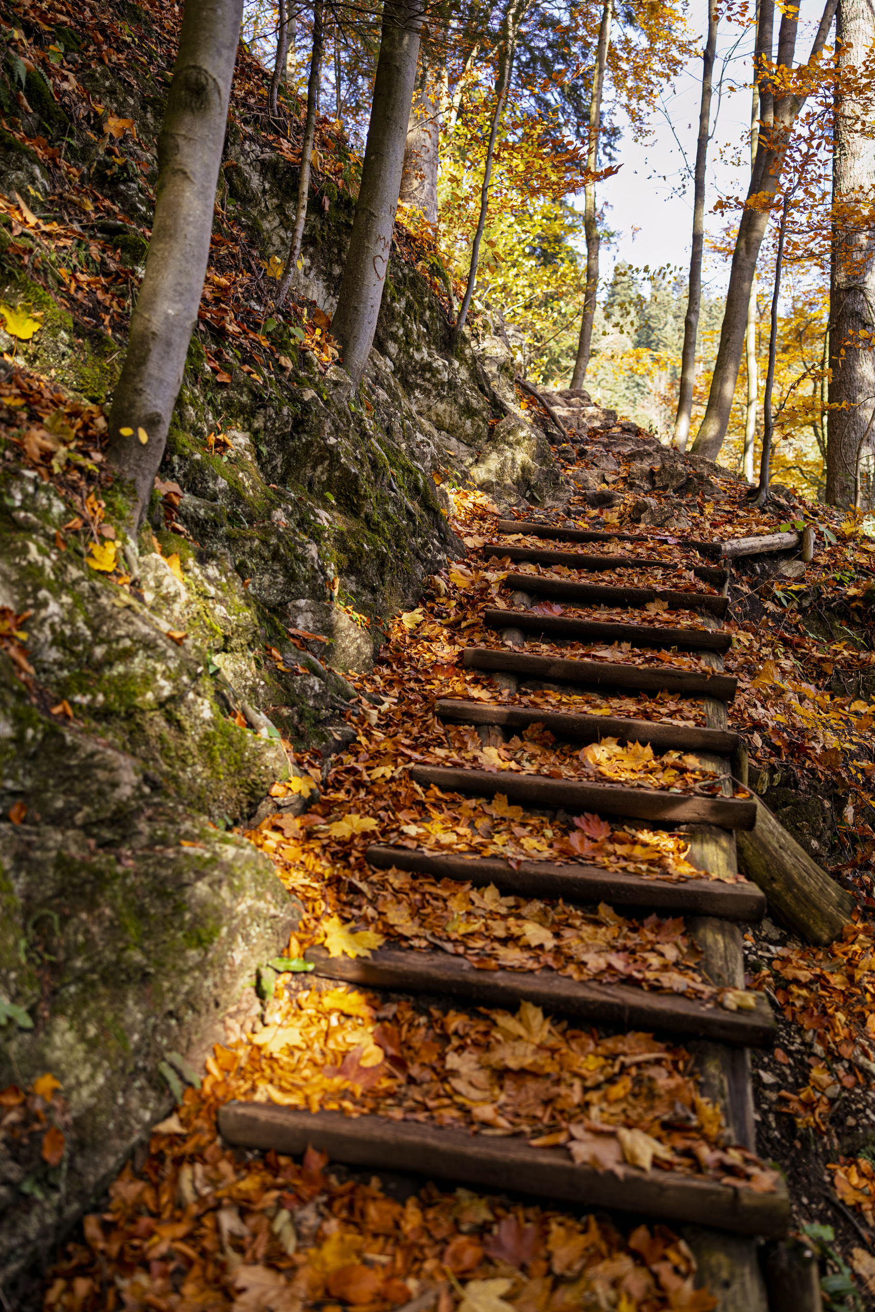
Protection of this forest began before the park itself. In 1921, on the initiative of Professor Władysław Szafer, the first nature reserve in the Pieniny was created, and in 1924 Poland and Czechoslovakia agreed to protect both banks of the Dunajec together. In 1932 the Polish park was established, the first national park in Poland, and a Czechoslovak protected area across the river. The park covers just 23.46 square kilometres, and in 2015 it had 815 thousand visitors, so the wooden steps and the rule of staying on the trail are no whim. The park even has the Three Crowns in its logo.
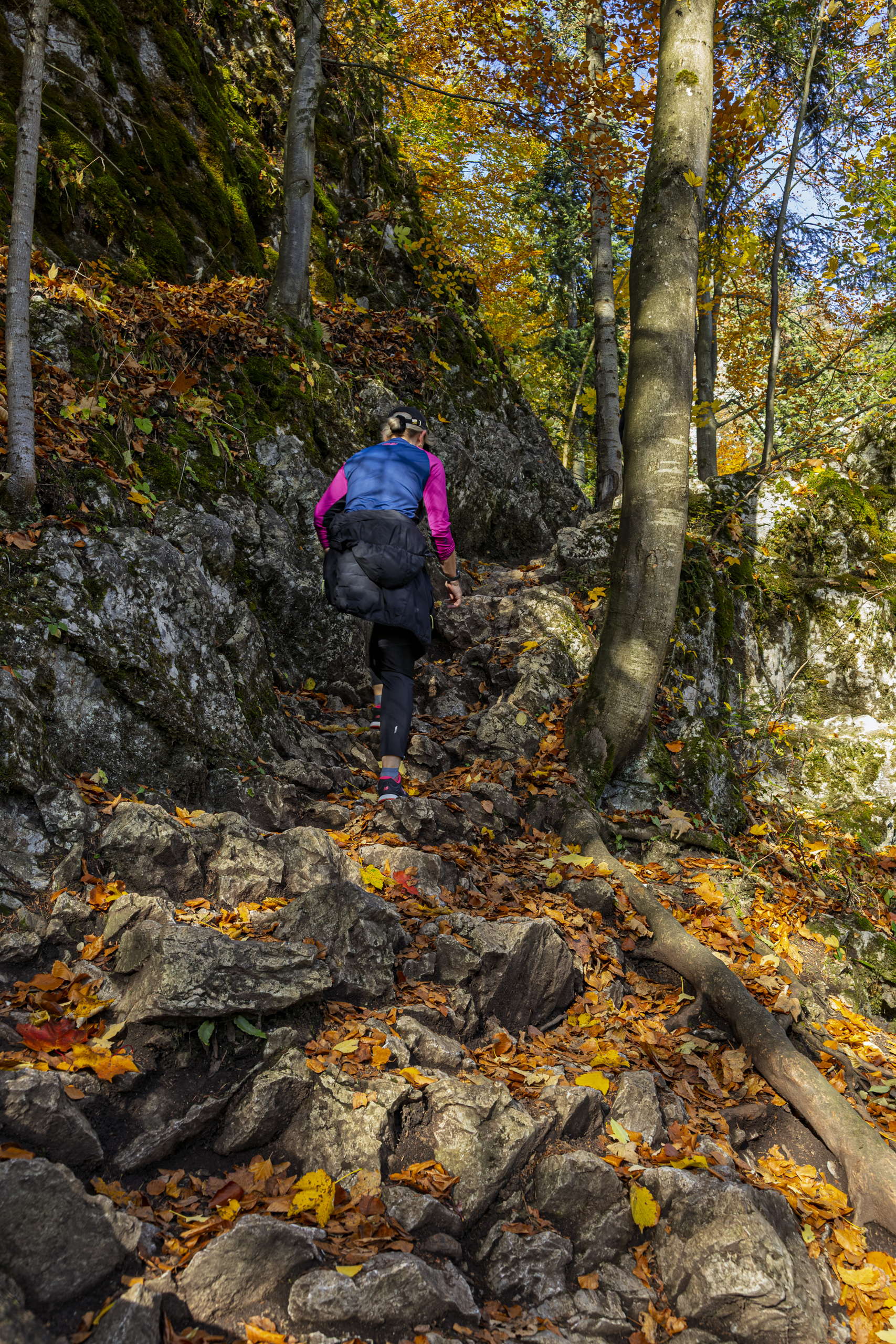
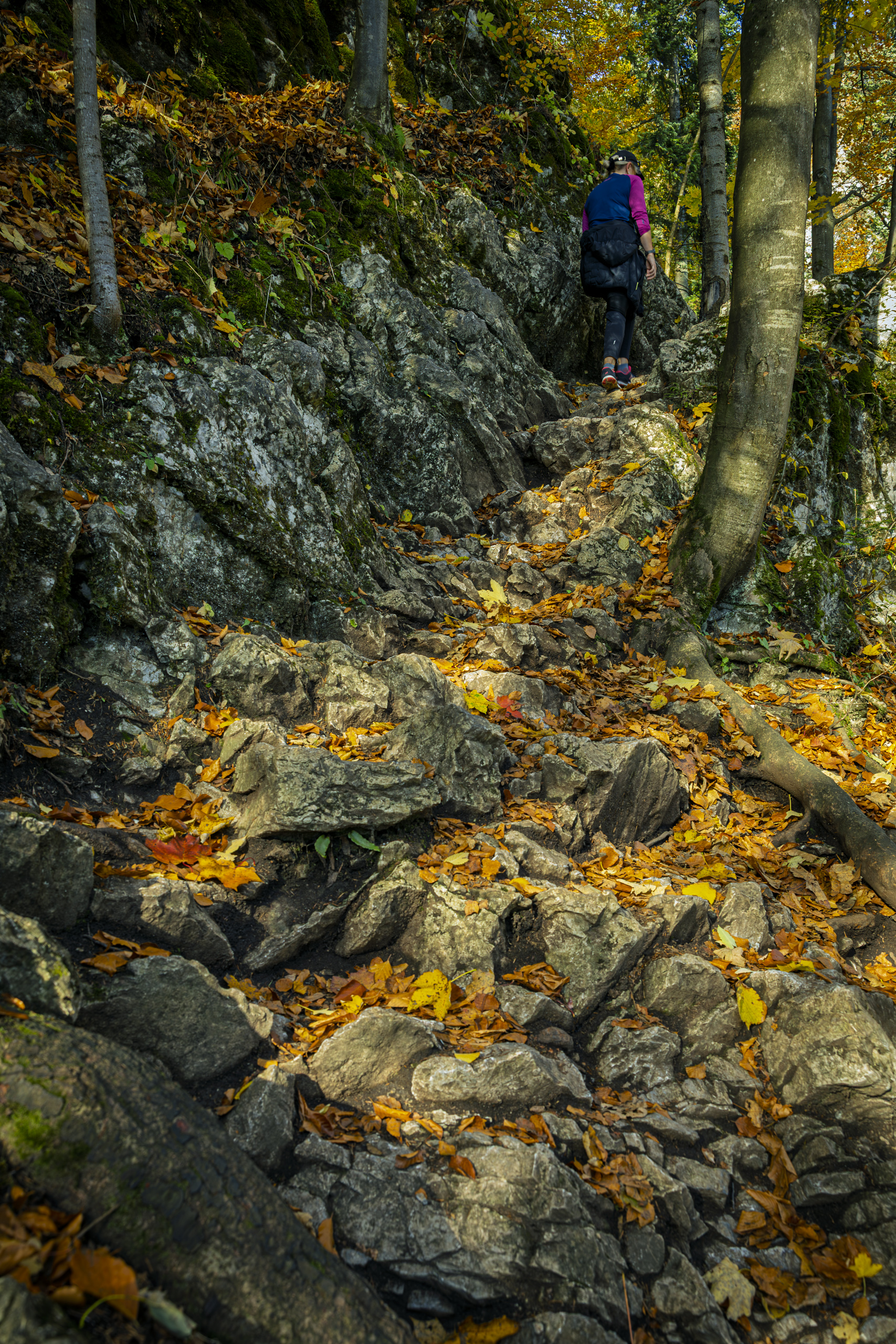
Here the forest doubles as a geology guide. Limestone blocks poke out from under the leaves. The stones underfoot remember the dinosaurs. They formed in the Jurassic and Cretaceous, roughly 200 million to 66 million years ago, on the floor of the Tethys Ocean, partly from fragments of crinoids, sea creatures that look like flowers on stalks. Where beeches rustle today, there was once open sea.
The sea vanished long ago, and its floor was pushed upwards. Geologists count the Pieniny as part of the Pieniny Klippen Belt, a narrow strip of rock less than 600 kilometres long that curves from near Vienna all the way to Romania. The Three Crowns are a piece of it, in my opinion the best displayed one.
The Dunajec was here before the mountains had properly grown. The simplest way to picture it: the mountains rose in the river’s way, and the river kept cutting through them. So instead of politely going around the Pieniny, as a sensible river would, the Dunajec cuts straight through, winding along the bottom of a deep valley between limestone walls. Had it been less stubborn, the raftsmen of Sromowce would have no work today.
Where the name Pieniny comes from is not certain either. It has been traced to the Polish words for plumb line, for foam, sometimes for tree stump. In 1846 Maciejowski looked for it among the Celts, since in the Cymric dialects pen means head, peak, mountain. In 1867 Wincenty Pol honestly admitted that he did not know whether the Pieniny were named after the plumb line or after the foaming waters of the Dunajec. One thing is certain: originally only the Three Crowns massif was called the Pieniny. The name spread to the whole range later.
The ice ages spared the Pieniny, so plants from earlier, warmer times survived here, along with two endemics found nowhere else in Poland: the Pieniny dandelion and the Pieniny wallflower. On this small patch of mountains grow about 1,100 species of vascular plants, half of everything recorded in Poland, and more than 1,550 species of butterflies and moths live here. Walking through this forest, you are treading on one of the richest natural places in the country. So it is best to tread on the path.
Kosarzyska and St Kinga’s castle
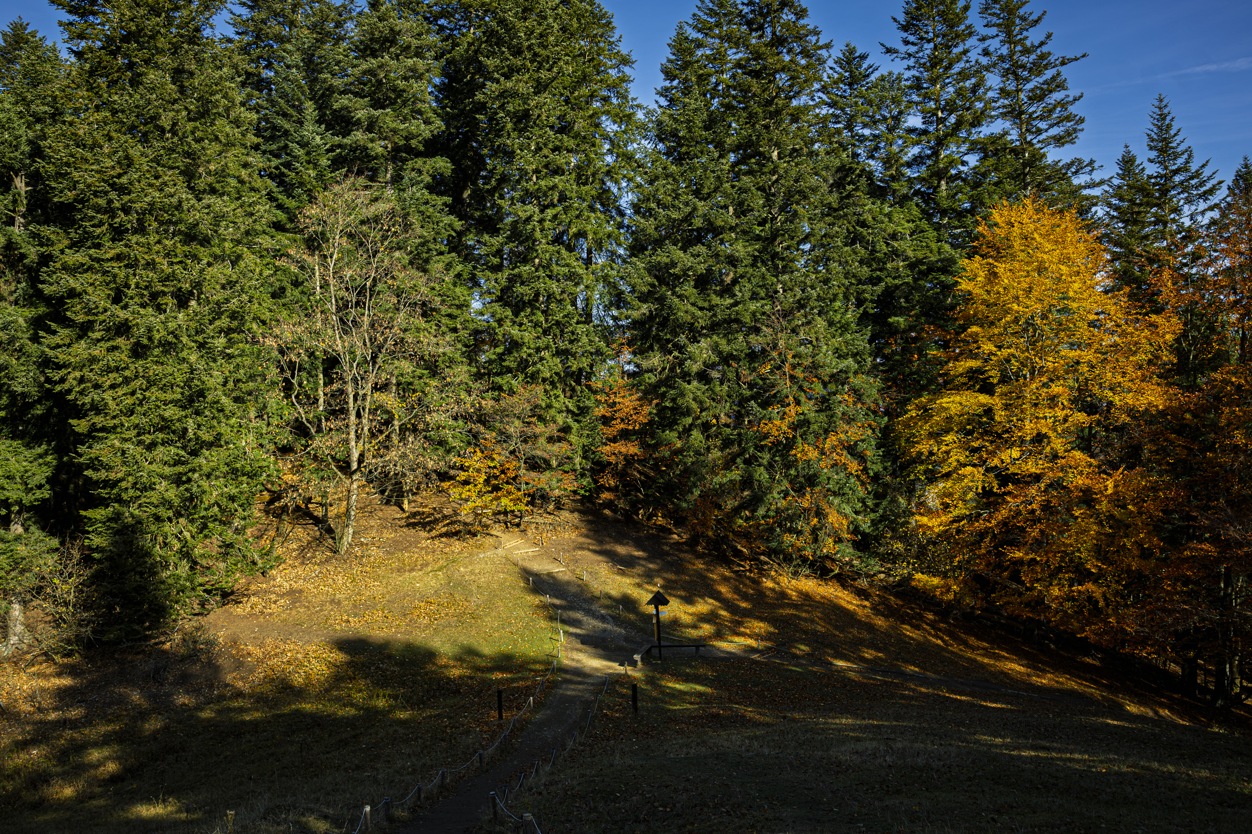
The trail leaves the forest at the Kosarzyska clearing. Here the green trail meets the blue one. Coming up the green trail, you turn left for Okrąglica or right for the castle ruins.
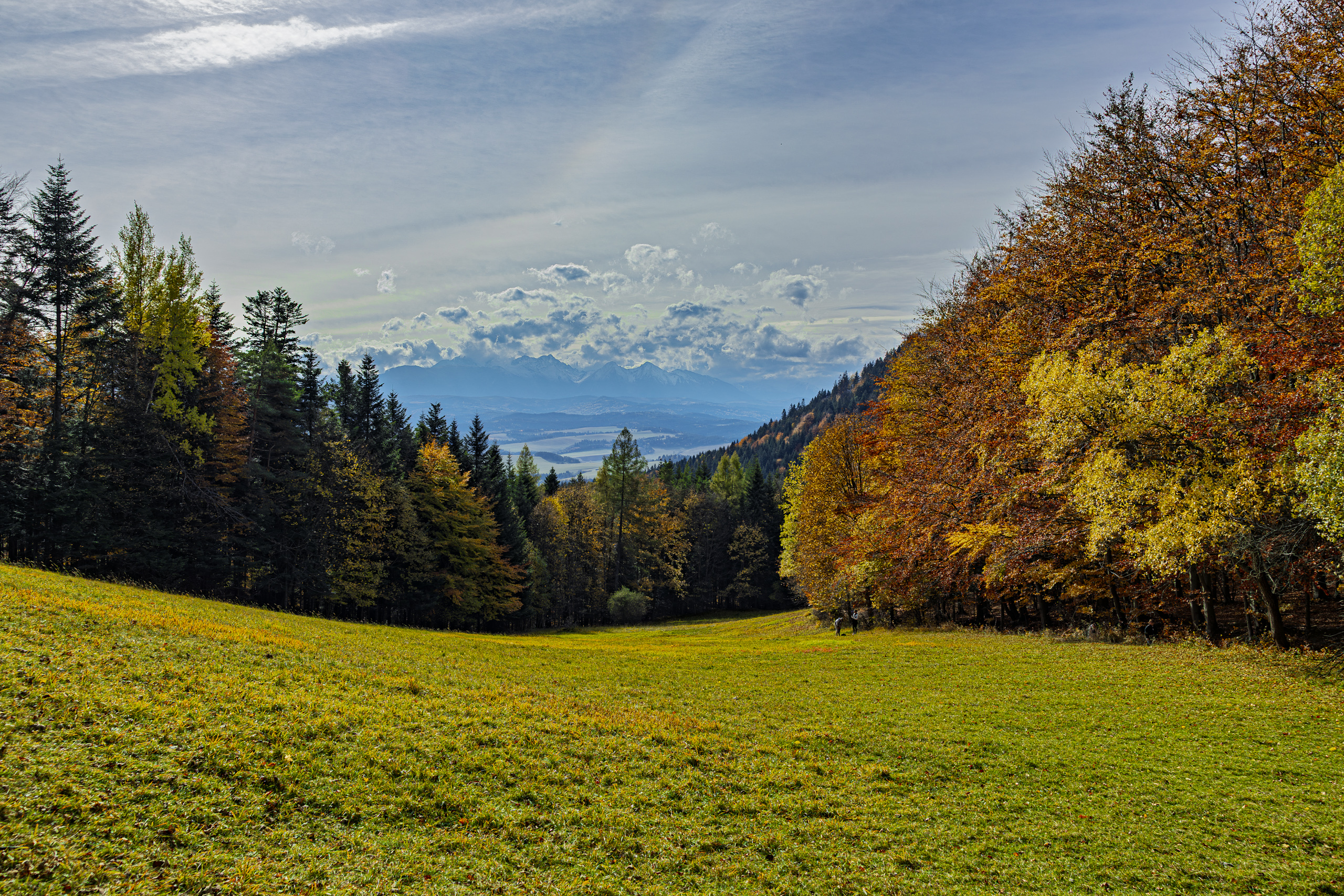
The clearing lies on the northern slope of the Three Crowns, between 821 and 880 metres above sea level, and is about 250 metres long. In the literature it appears as Koszarzyska, while locals said Kosarzyska. The name sounds as if it came from the Polish word for mowing, but that is a false trail. It comes from the Vlach word koszar, a movable sheep pen. Sheep pens once stood here. The sheep are gone, but the meadow really is mown, so the name has gained a second meaning after the fact.
Kosarzyska looks like an ordinary meadow, but naturalists are especially fond of it. Tall herbs grow here, and the clearing was a traditional home of the clouded Apollo, a rare white butterfly related to the famous Apollo. A relict population lived here. To protect it, mowing stopped in 1960. At the end of the 1980s mowing returned, more carefully: today the meadow is cut irregularly, every two or three years. Its flowers are also visited by the scarce swallowtail, and the highly poisonous green false hellebore and corymb tansy grow in and around the clearing. In 2009 leaf beetle species never before recorded in the Pieniny were caught here. In nature, it seems, even a mower can be a matter of state.
The ruins of Pieniny Castle on Castle Hill are a few hundred metres away. Part of the group went to have a look. The stronghold was built in the early 1280s of stone and mortar. It was one of the first castles of its kind in Poland, since earlier strongholds were mostly built of wood.
In December 1287, during the third Mongol invasion, Princess Kinga, widow of Bolesław the Chaste, took refuge here with her court, priests, knights and seventy Poor Clares from Stary Sącz, where she had founded a convent a few years earlier. The Tatars did not take the castle. Legend explains it in its own way: as the invaders approached the mountain, clouds covered the sky, a thick fog came down and the nuns vanished from sight. In 1999 John Paul II declared Kinga a saint, in Stary Sącz itself.
When and by whom the castle was destroyed, historians still argue. Some point to the troops of Ścibor of Ściborzyce in 1410, others to the Hussites in 1431 and 1433. The latest research suggests the stronghold was still in use in the 15th century. Archaeologists dug here before the war, from 1976 to 1978, and most recently in 2020 and 2021. What remains are walls about 80 metres long, the western one up to 5.5 metres high in places, plus a cistern and the remains of a gatehouse.
Just below the ruins is St Kinga’s Grotto, a place of pilgrimage and devotion. The statue of the saint was placed in it in 1904.
Okrąglica, 982 metres
The Three Crowns massif has five peaks: Okrąglica (982 m), Płaska Skała (950 m), Nad Ogródki (940 m), Pańska Skała (920 m) and Niżnia Okrąglica (about 902 m). Contrary to popular belief, it is not the highest mountain of the Pieniny. That title belongs to Wysoka (1,050 m) in the Small Pieniny, right on the Polish Slovak border. The Three Crowns are, however, the highest point of the Central Pieniny and of the whole Pieniny National Park. Visitors may climb only Okrąglica. Before the highest summit was opened, people enjoyed the panorama from Niżnia Okrąglica, which juts out to the south and is 80 metres lower.
From Kosarzyska the blue trail climbs through the forest right up to the summit. Below the rocks stands the park’s ticket office. In season, access to the platform is paid, and the ticket is also valid the same day on Sokolica, the other famous viewpoint of the Pieniny, high above the Dunajec Gorge. If you have the legs for both, you get two views for the price of one.
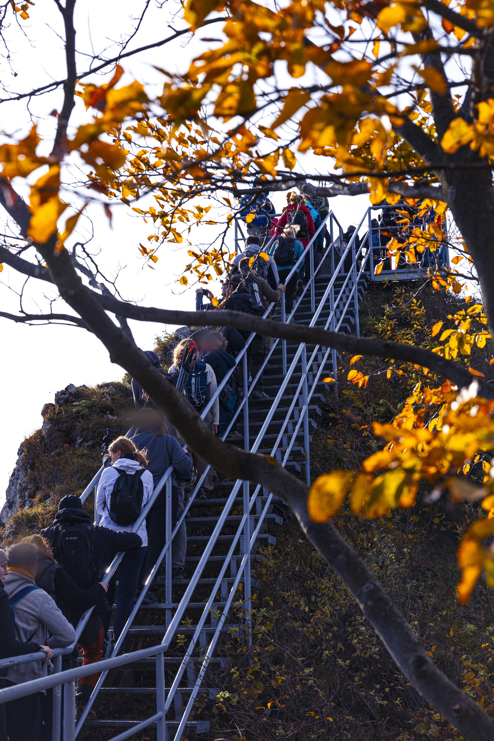
From there, metal stairs with railings take over. The present stairs and platform were built in 2001 and 2002. With every step the forest thins out, and windows onto the valleys open more and more often between the trunks and rocks.
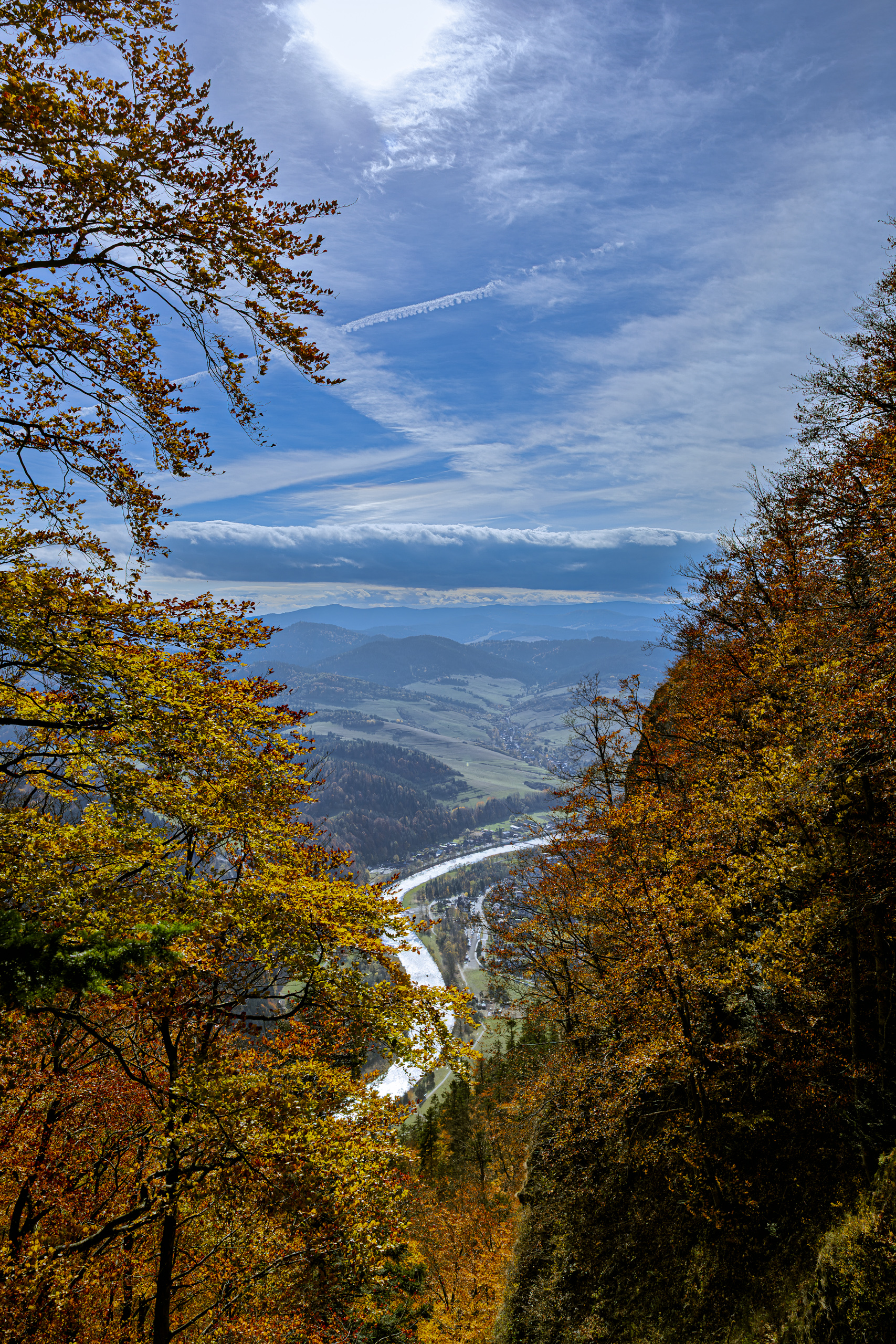
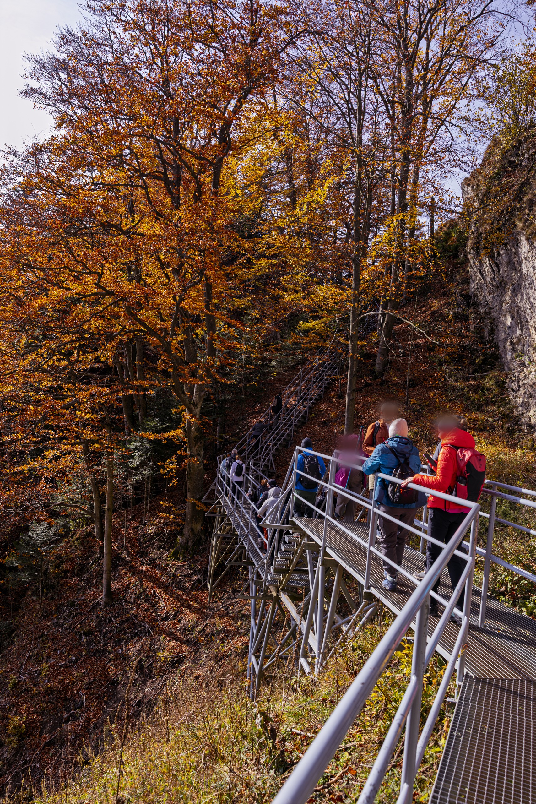
On a fine Sunday there is a queue on the stairs. They end at a viewing platform on the very top of Okrąglica, surrounded by railings. It holds about thirty people at a time, so those lower down have time to study the rock up close. Whoever waits their turn stands above a drop, because the massif rises about 530 metres above the Dunajec.
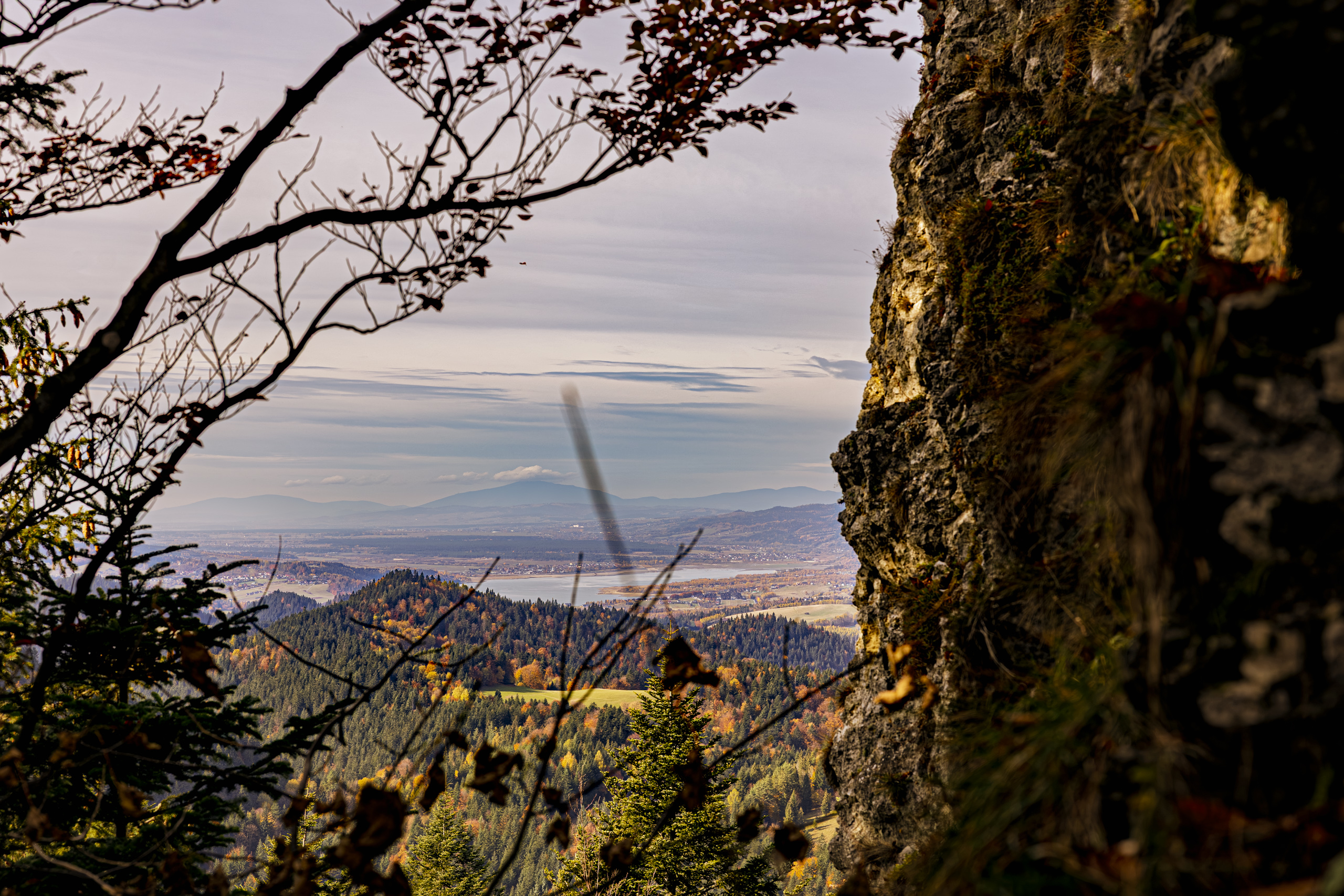
The water glittering below to the west is Lake Czorsztyn. It is younger than many of the people on the stairs: the reservoir behind the dam at Niedzica has been filling since 1995. It is 9 kilometres long and today serves the Pieniny as a stand in for the sea that rolled here in the Jurassic and Cretaceous.
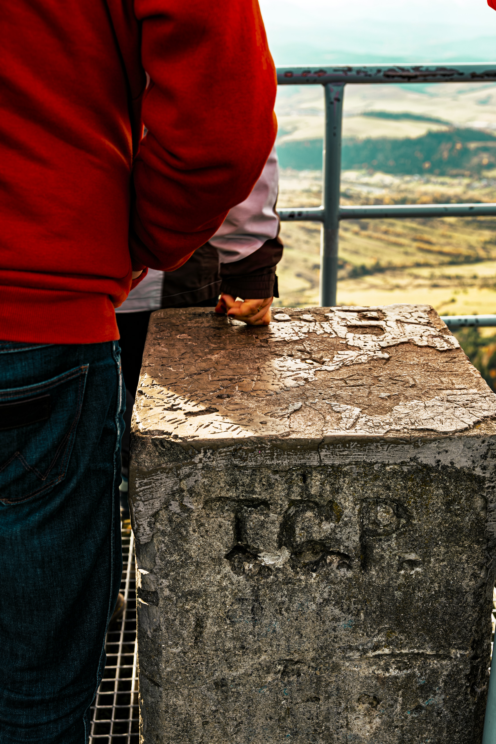
The admiration goes back a long way. In 1831 Jan Nepomucen Rostworowski wrote that whoever had once come to know these places would carry their image engraved in memory forever. In 1842 H. Kratter added that there was hardly a visitor who did not climb these peaks from the accessible side. Around 1860 people drove up below the summit in four horse carriages. In 1880 some 200 to 300 tourists came here a year, in 1906 the first trail was marked, from Krościenko, and in 2005 there were more than 60 thousand visitors a year. Nobody harnesses four horses any more, but the queue on the stairs shows Kratter was right.
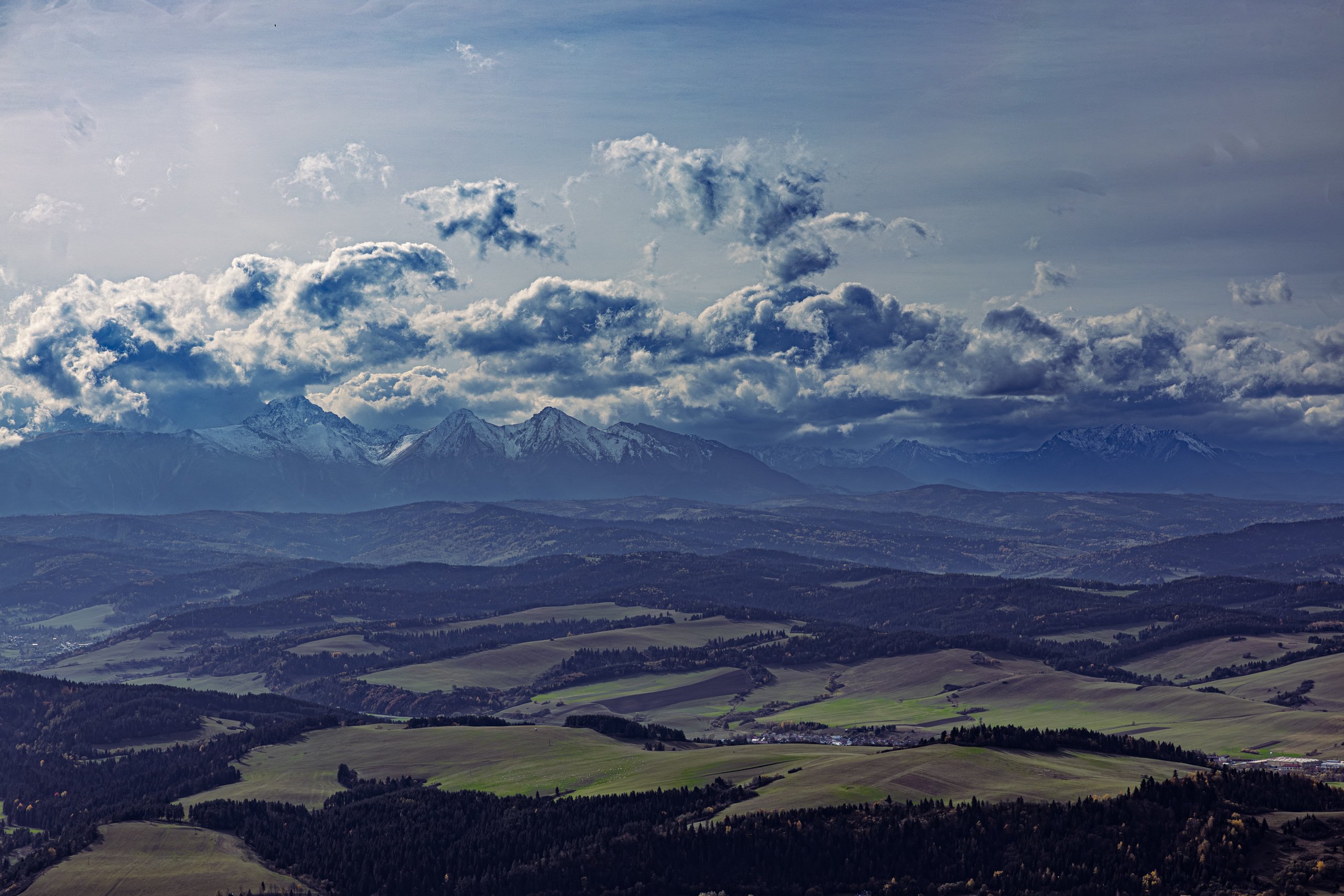
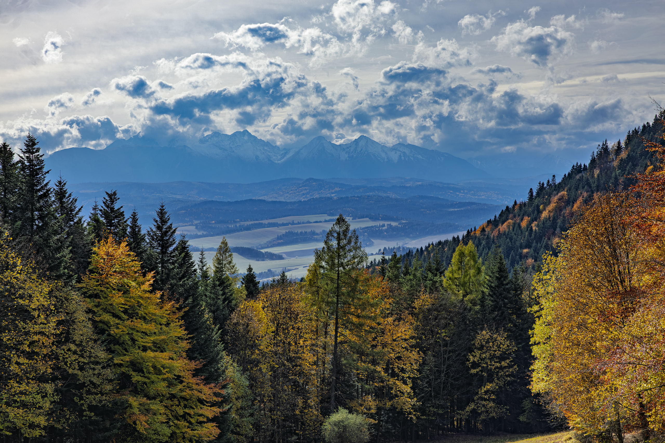
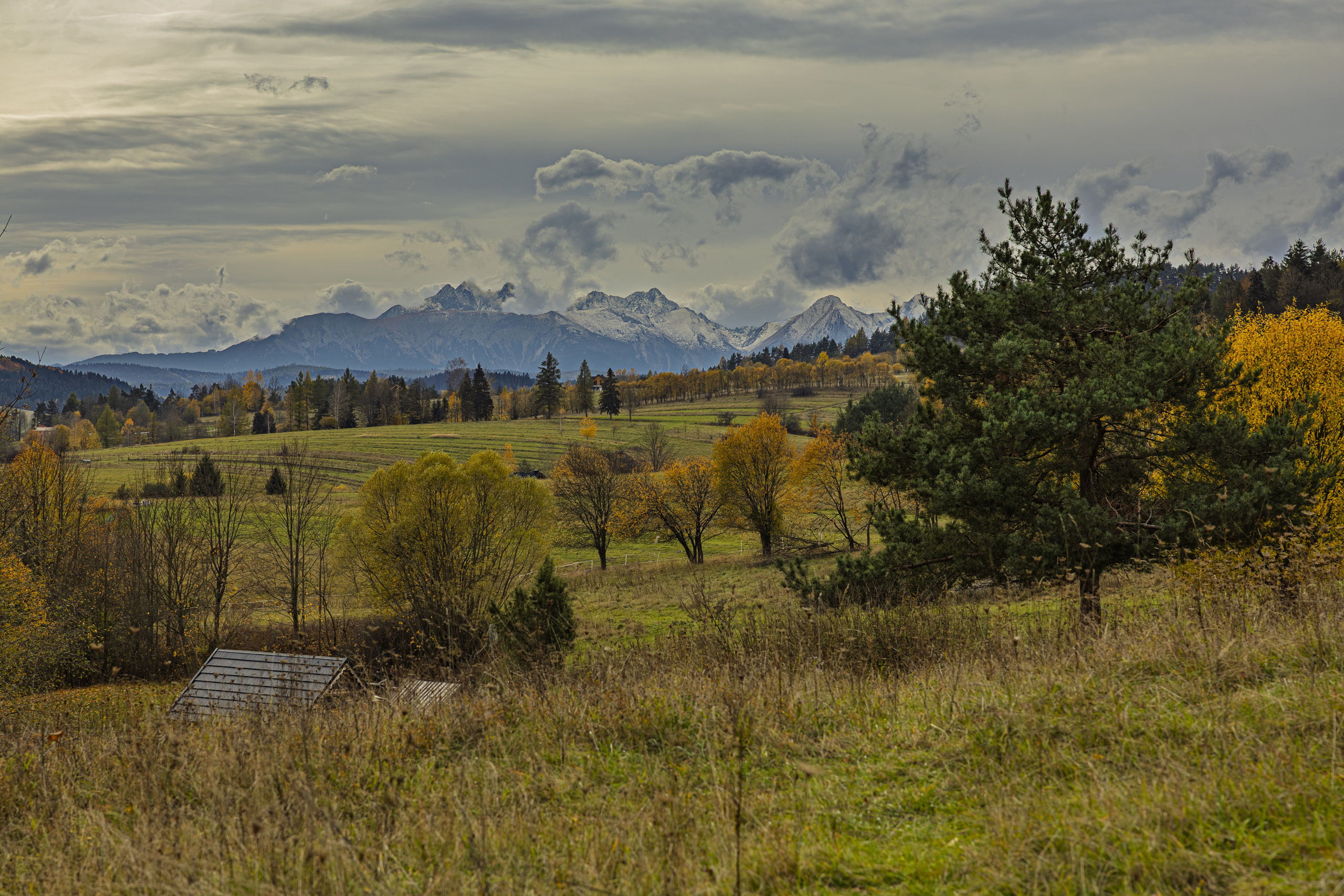
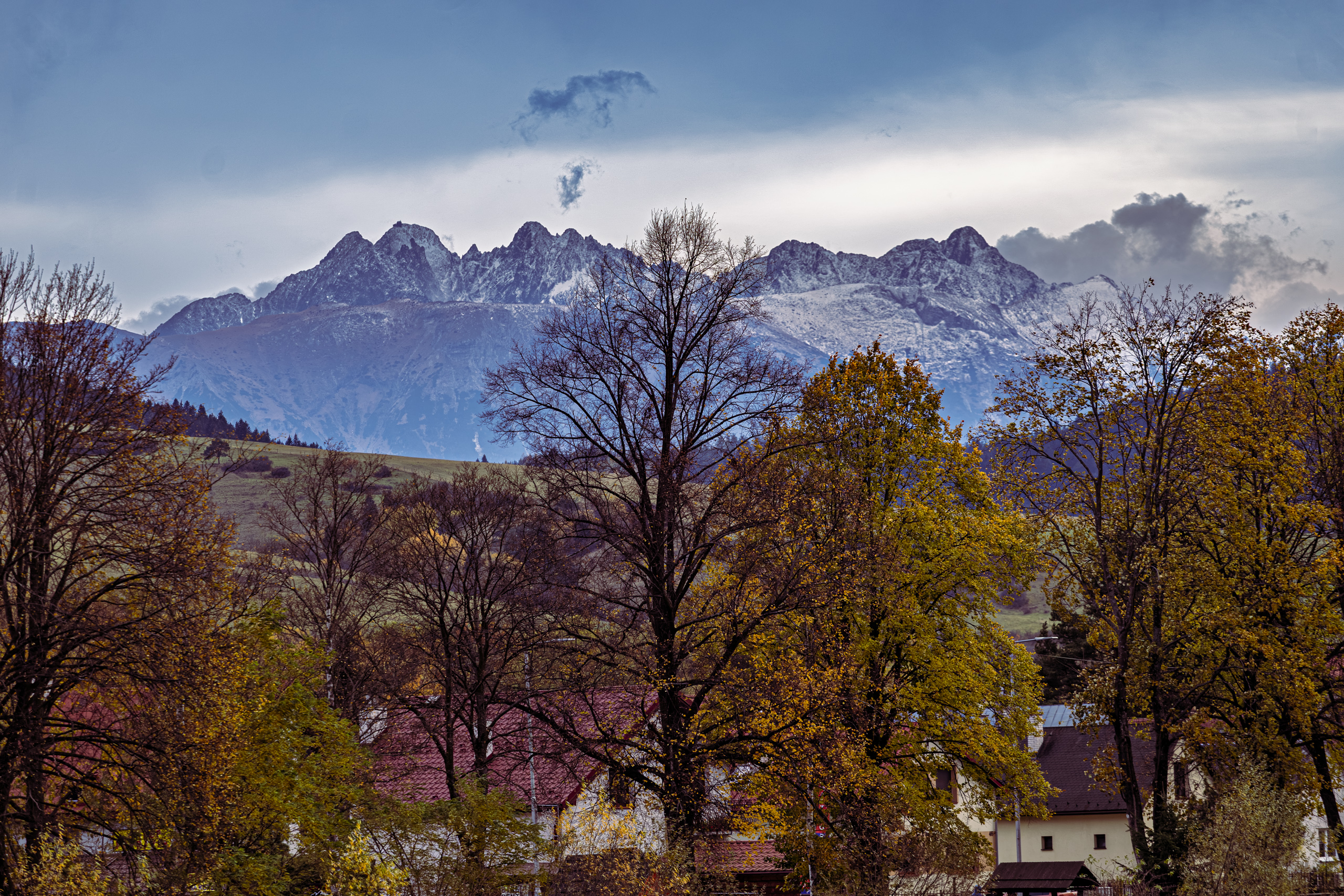
From the platform you can see the Pieniny, the Gorce, the Sądecki Beskids, the Spiš Magura and, in good weather, the Żywiec Beskids and Babia Góra, 63 kilometres away. Most of the horizon, though, belongs to the Tatras: in the full panorama they stretch across about 50 degrees, and Lomnický štít is 28 kilometres away. That day the Tatras stood in the clouds, but the snow on the ridges was clearly visible.
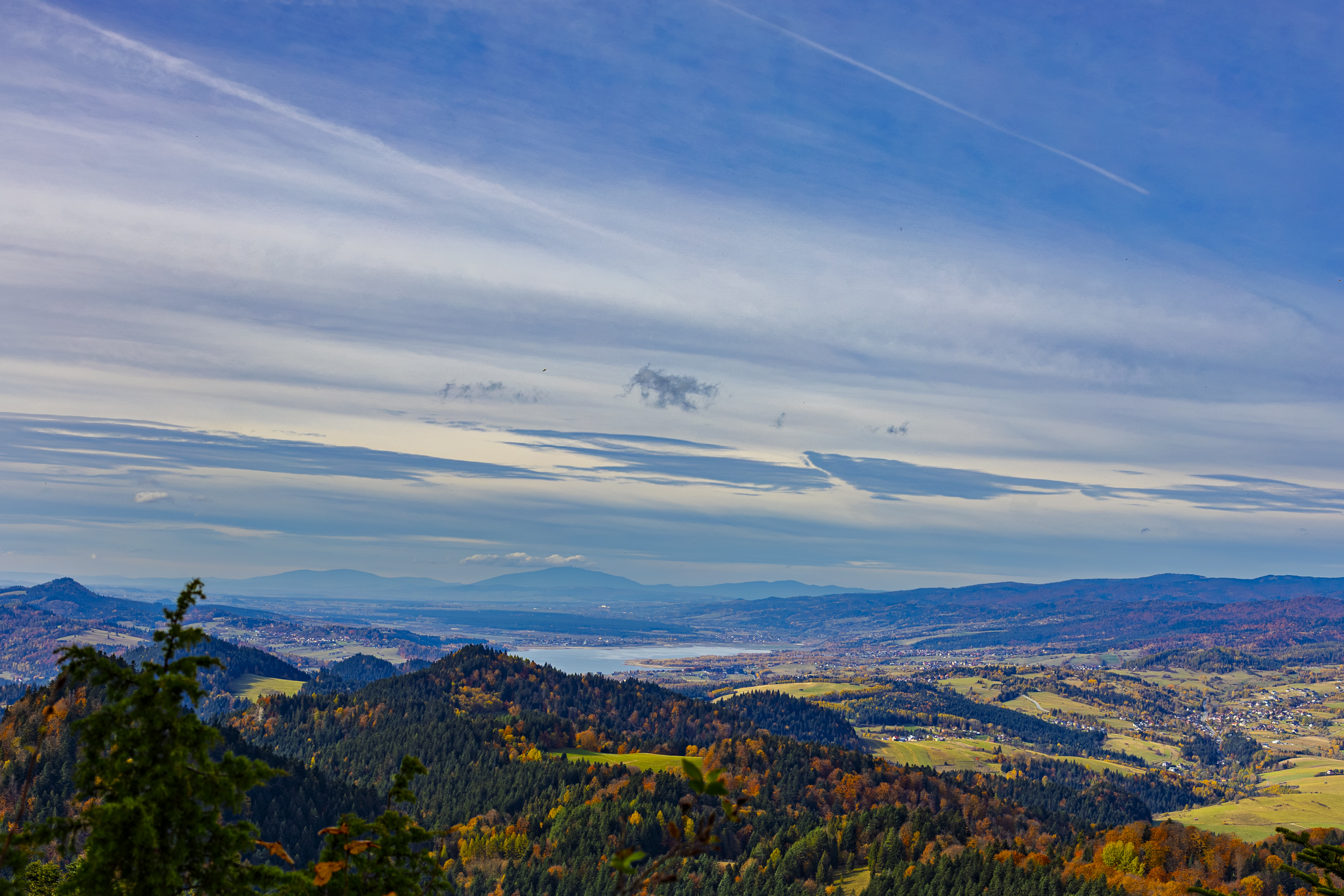
Between the Pieniny and the Tatras lies Spisz, Spiš in Slovak. In 1412 King Władysław Jagiełło lent Sigismund of Luxembourg 37 thousand threescore of Prague groschen and received thirteen Spiš towns as security, Poprad among them. The loan was never repaid, so the towns stayed with Poland for more than three and a half centuries, until the partitions. When Spiš was divided in 1920, Poland was left with only 14 villages.
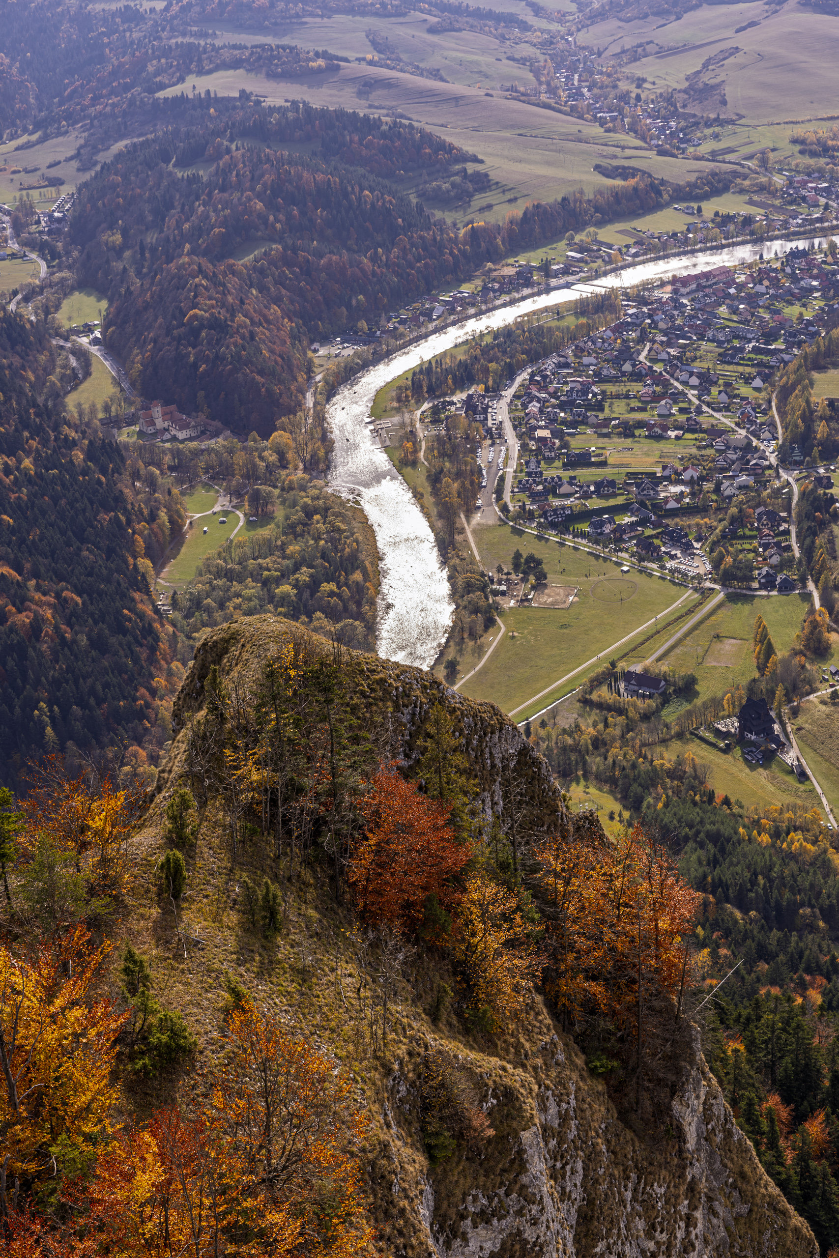
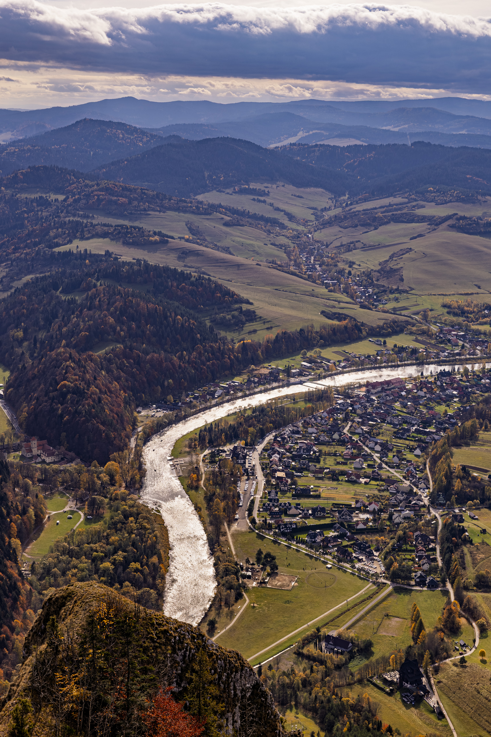
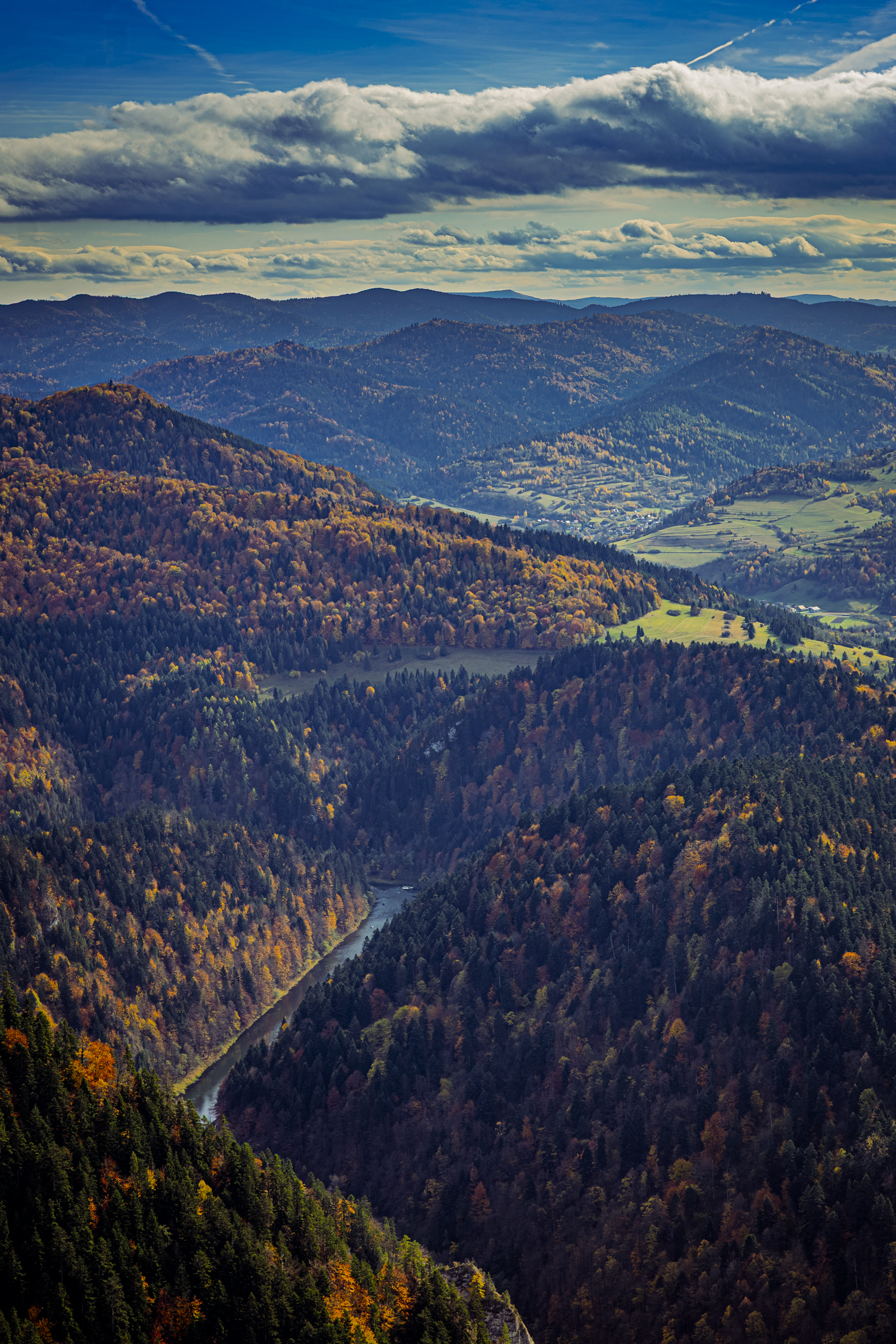
Below the platform the Dunajec swings in a wide bend around Sromowce Niżne. Here the river is the border: on one side the Polish village, on the other the Slovak village of Červený Kláštor with the monastery we walked down to at the end. To the east the river cuts into the mountains and disappears between wooded slopes. There begins the Dunajec Gorge, down which raftsmen have been taking tourists since 1832.
The mountain has its legends too. According to local stories, people sheltered here from Tatar raids. Reportedly it was from here that Aleksander Kostka Napierski called the people of Podhale to arms before he seized Czorsztyn Castle in 1651. And from here, legend has it, Brother Cyprian of the Red Monastery took off on wings. More about him later.
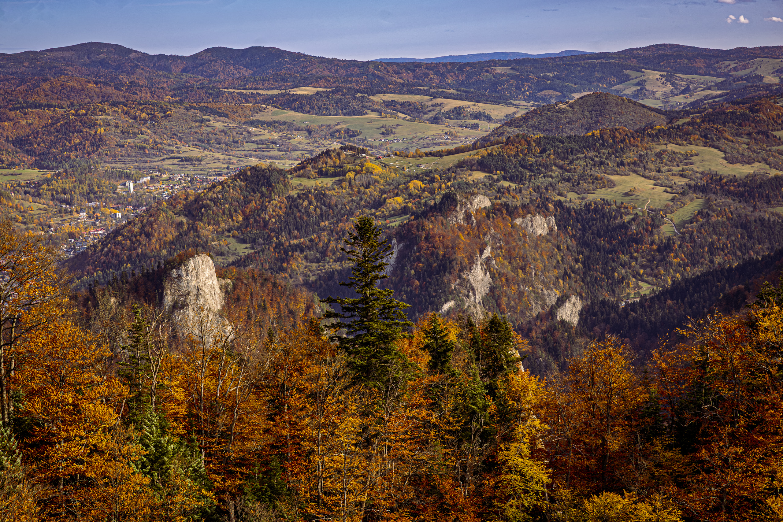
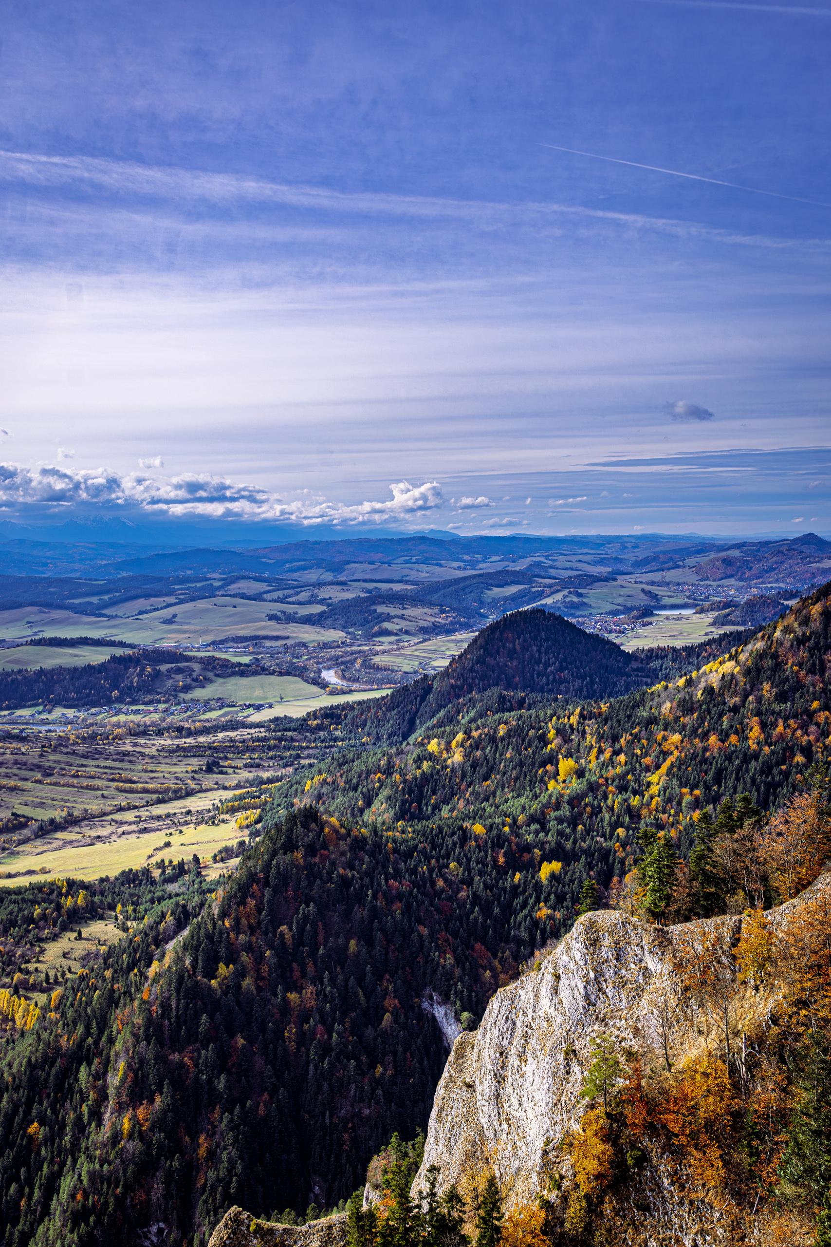
The rocks around the platform have other residents besides tourists. Rock madwort grows here in golden clumps. In Pańska Skała, Shaggy Mary to the raftsmen, wallcreepers nest, rare birds with crimson wings that walk up vertical walls as if they were floors. The Apollo butterfly lives on the slopes of the massif. In 1990 only 20 to 30 of them were left in the whole Pieniny, so the park spent twenty years saving it.
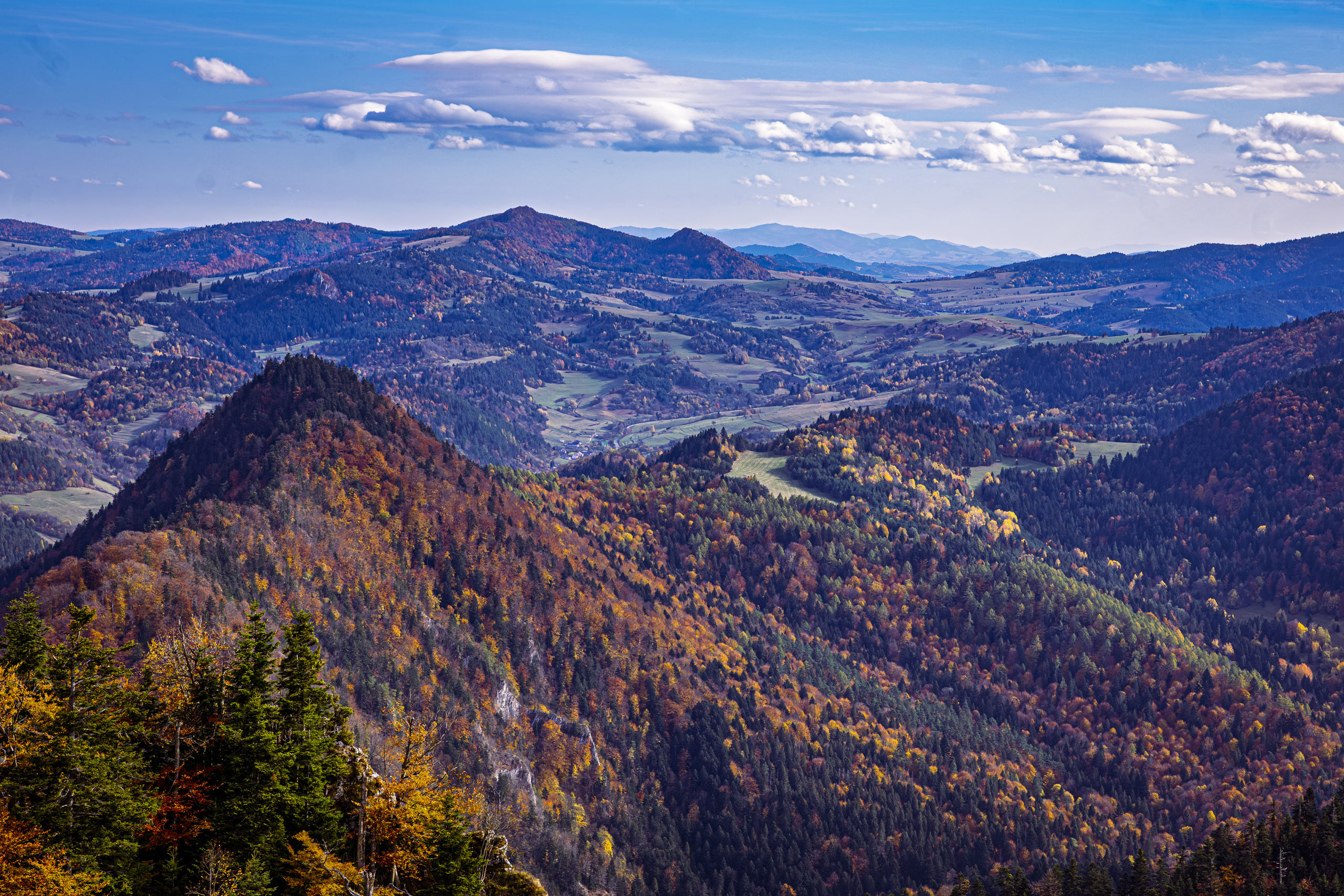
Seven plant species grow in the massif that are found nowhere else in the Pieniny. One of them is the Pieniny dandelion. Declared extinct, it turned up again around 2005 in crevices in the walls of Okrąglica, the very mountain topped by a platform full of tourists. Two clusters are known, about forty plants in all, and on the red list it is critically endangered.
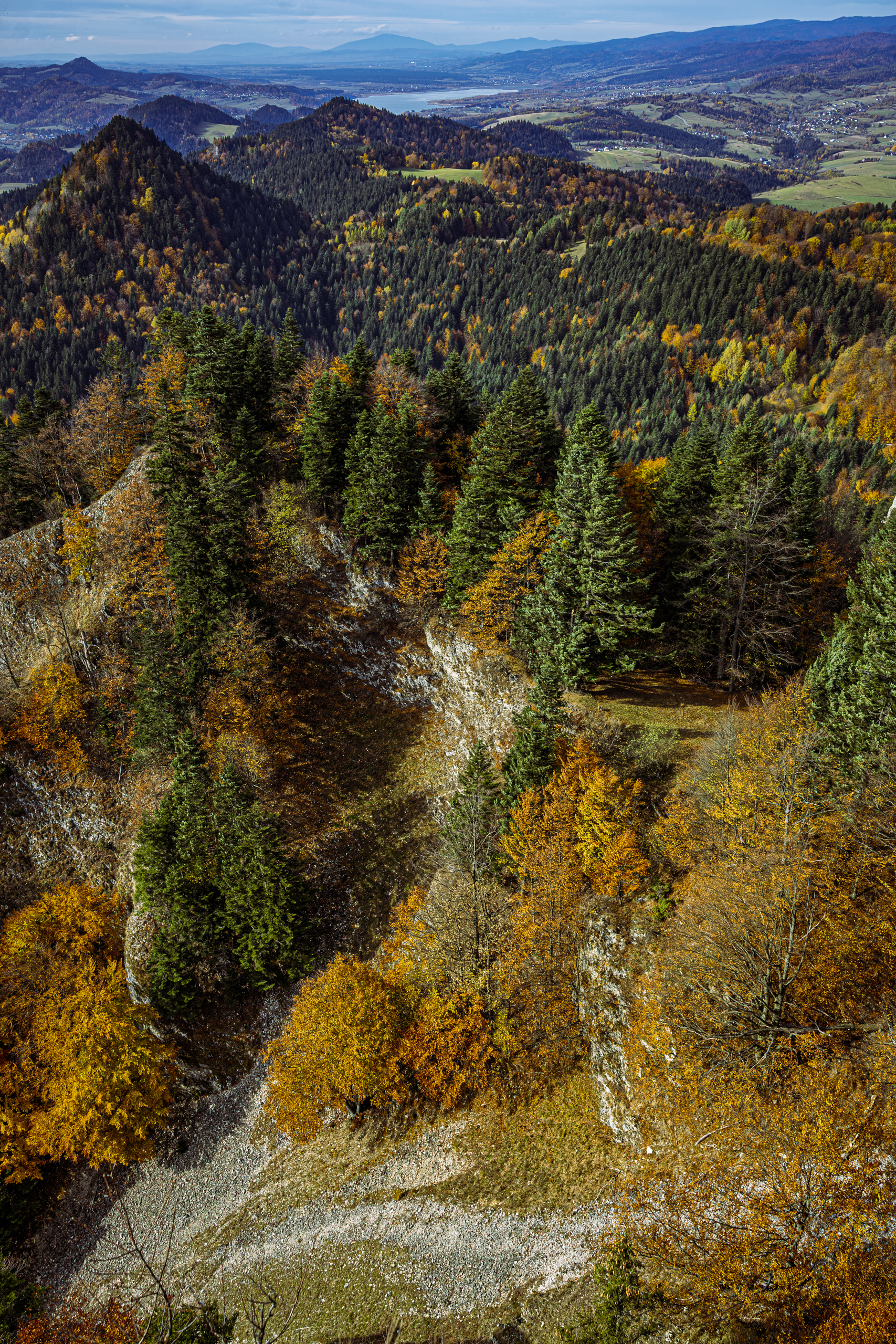
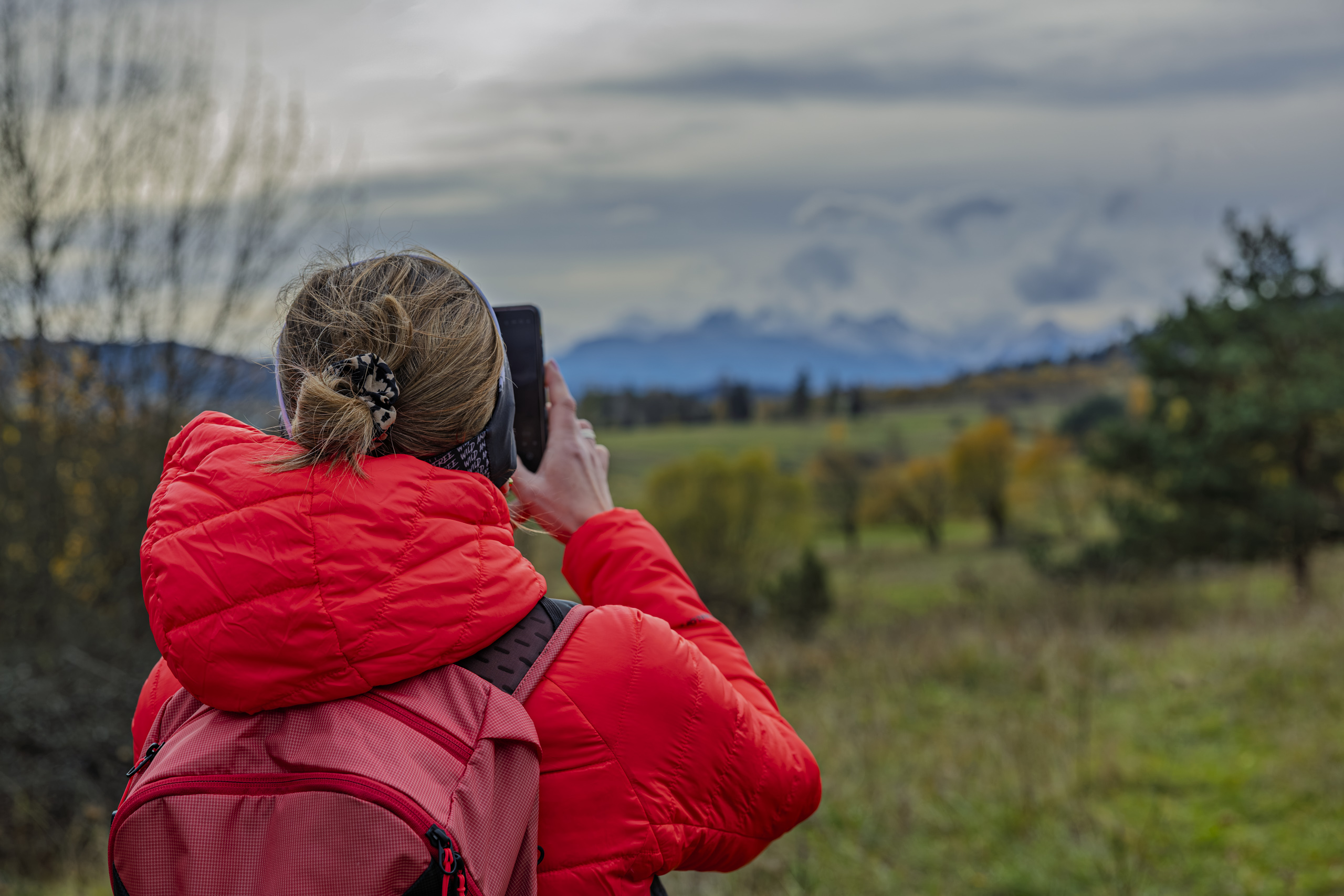
Nobody stays long on the platform. Usually the people waiting on the stairs hurry you along; that day the wind did it for them. It blew piercingly, whistling in the railings. After a few moments the cold went straight through your jacket as if it were not there, and you could feel it in your bones. The sun, which had been pleasantly warm in the forest, lost all its strength on the summit. The view was worth every second, but nobody stretched those seconds. It was time to make room for the next people and head down.
A line attributed to Edmund Hillary fits the moment. The New Zealand mountaineer, who on 29 May 1953, together with Tenzing Norgay, was the first to stand on the summit of Mount Everest, is supposed to have said: “It is not the mountain we conquer, but ourselves.” Handle the attribution with care: the line circulates in many versions, and nobody can point to where exactly Hillary said or wrote it. On Okrąglica, in that wind, it fitted every version.
Praise Be to God
From Okrąglica the blue trail leads down to the Szopka Pass (779 m), between the Three Crowns and Czoło (815 m). The pass has a second name, Chwała Bogu, Praise Be to God, also written as one word: Chwałabogu. Where it came from is not certain. Most often it is said to be a cry of relief after the hard climb. Anyone coming up from Sromowce needs no further proof. We were going down, so we had to take the name on faith. Our knees had a different opinion. Psalm 121 says: “I will lift up mine eyes unto the hills, from whence cometh my help. My help cometh from the Lord, which made heaven and earth.” On a pass with a name like that, knees welcome any help too.
The pass has long been a Pieniny crossroads. In the mid 19th century the first tourists came up here in highland horse carts. There used to be a shelter for tourists where raftsmen often spent the night. There were even plans for a mountain hostel. Today two trails cross here: the blue one, from the Three Crowns towards Czorsztyn, and the yellow one, linking Sromowce Niżne with Krościenko. The signpost has an arrow to the Snozka Pass. The name looks like a typo but is not: it is a real pass, 653 metres high, on the way to Czorsztyn.
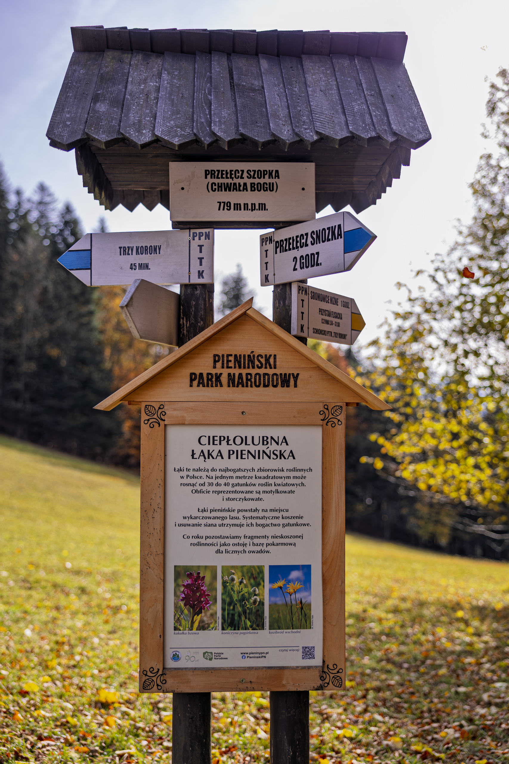
Below the signpost stands a park board about the warm Pieniny meadow. Such meadows are among the richest plant communities in Poland: a single square metre can hold 30 to 40 species of flowering plants, many of them legumes and orchids. They grew up where forest was cleared and survive only thanks to mowing and hay removal. Every year the park leaves some patches unmown as a refuge and food source for insects. Rare species grow on the meadow: the elder flowered orchid, the eastern goat’s beard and the imbricate gladiolus. Botanists have also recorded the ornate earthstar, an endangered fungus. At the end of October few flowers were left, but the meadow still glowed green, as if it had never heard of autumn.
The Szopka Gorge
Anyone walking here for the first time stops mid stride when the forest opens and limestone walls overgrown with spruces rise above the stony path. In his Manual of the Warrior of Light, Paulo Coelho writes that the warrior focuses on the small miracles of daily life, and that if he can see beauty in them, it is because he carries beauty within himself. In the gorge you do not have to look for miracles; they stand right by the path.
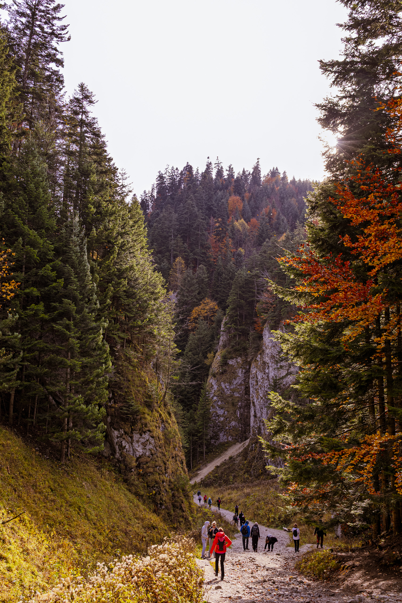
From the pass the yellow trail drops into the Szopka Gorge, cut between the Three Crowns and Podskalnia Góra (742 m). Along its floor runs the Szopczański stream, which flows into the Macelowy stream. That day it had almost dried up, so the gorge was quiet, and instead of rushing water we mostly heard stones under our boots. The walls come so close that you walk along the floor of a limestone canyon. The path through the gorge is the shortest walking route between Krościenko and Sromowce Niżne.
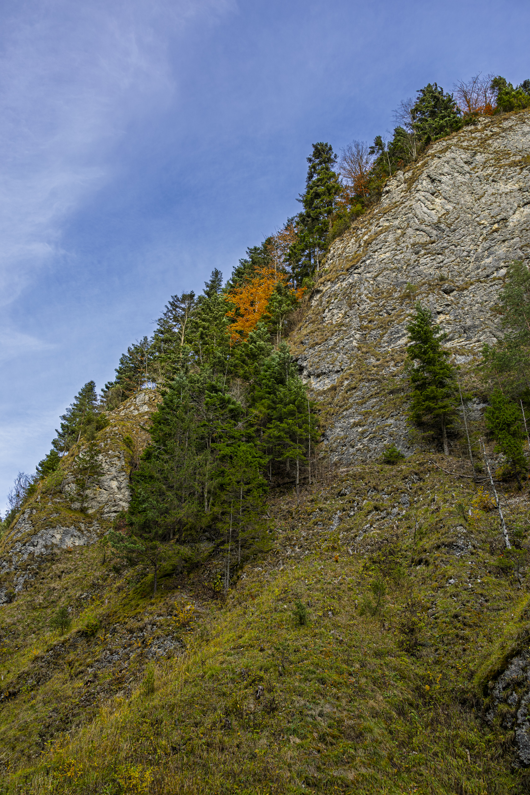
Above the gorge rises Kopa Siana, the Haystack (837 m), a crag below the Three Crowns. In 1930 Kazimierz Sosnowski wrote that it looked just as if the tip of a giant sword were sticking out of the ground. Lower down stand more modest rocks with charming names: Rojowa Skała, 20 metres high, the yellow tinged Oberwana Skała and the Borówczane Skały, the Bilberry Rocks. In a slope called Pod Ściany, 20 and 70 metres above the floor, there are four small caves. Their sooty ceilings show that someone once lit fires in them. Who and why, nobody knows, but the legends have answers ready. According to tradition, people hid here from Mongol raids, and during the Swedish Deluge ambushes were laid here for the Swedes.
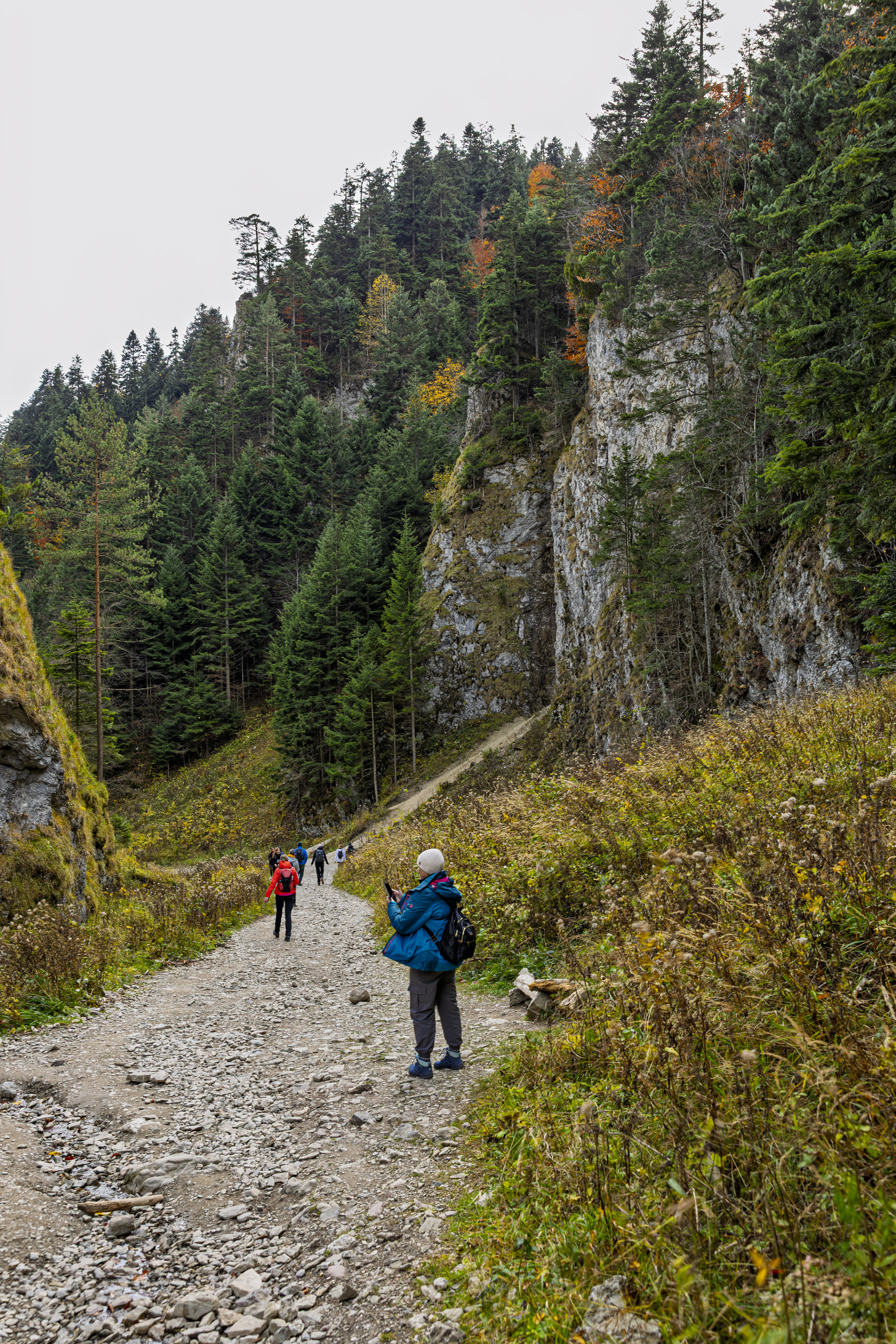
In 1860 M.B.Z. Stęczyński wrote in verse that this ravine was so wild it would not even let a plant open its flowers in its barren land. Nature did not listen to the poet. Sycamores, limes, larches, beeches and firs grow here, and among the rarities are rock madwort, orange ragwort and the fly orchid, whose flower pretends to be an insect. The park makes sure the limestone grasslands do not turn into forest. Someone even illegally planted alpine larkspur here, which does not grow naturally in the Pieniny. The case earned its own article in the park’s scientific journal. The gorge, it seems, is so wild that it has to be protected from gardeners.
That leaves the question of the name. Józef Nyka believed it comes from the Szopka meadow, so the correct form is Szopczański Gorge. A second version is also in use, Sobczański Gorge, derived from Sobek, highland dialect for Sebastian. Personally I would prefer the Sobek version, but you do not argue with Nyka.
Bundz, oscypek, żentyca
The gorge lets walkers out right above the hostel. From the meadow above it, in good light, you can see the red roof of the Red Monastery’s tower far below on the Slovak side. That is where we were heading at the end.
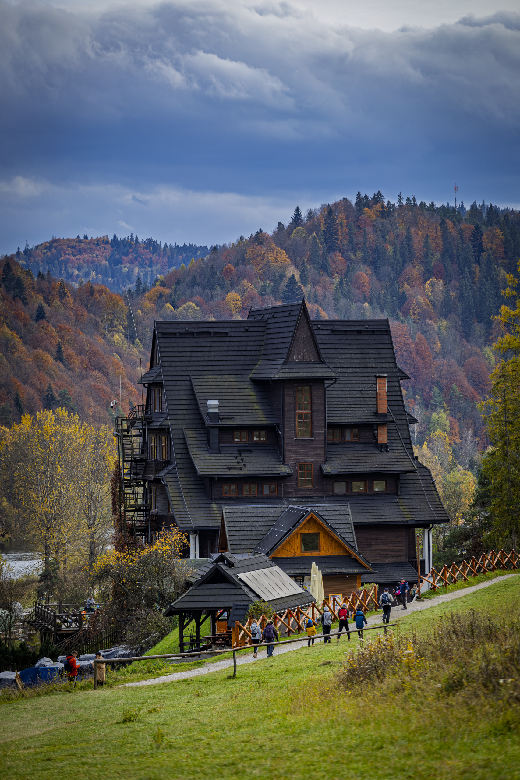
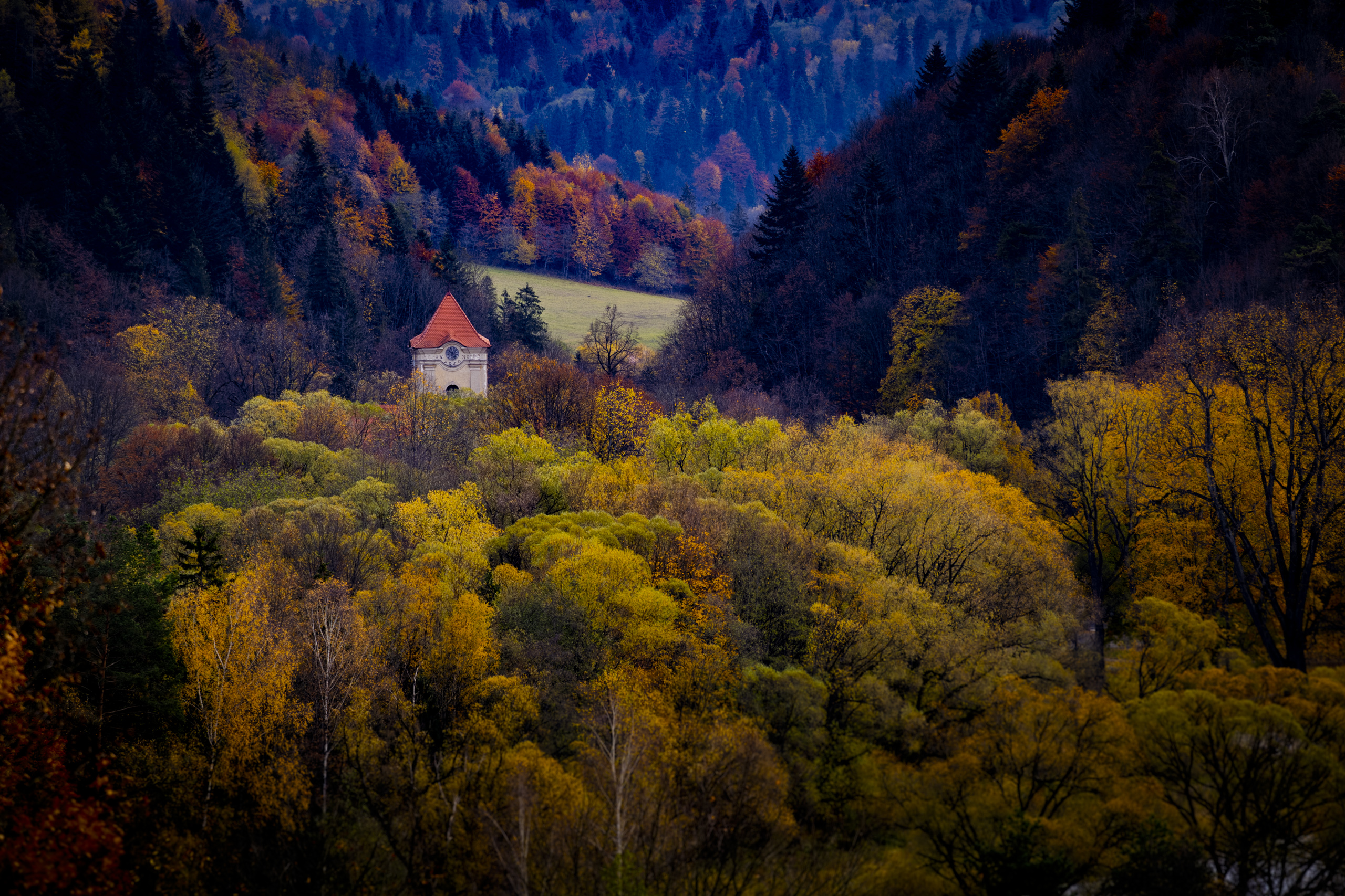
From the meadows below the hostel the Three Crowns look quite different than from the platform. From above they were a drop under your feet; from below they are a crown again. On the other side, above the fields, the Tatras were coming out of the clouds, so nobody hurried down.
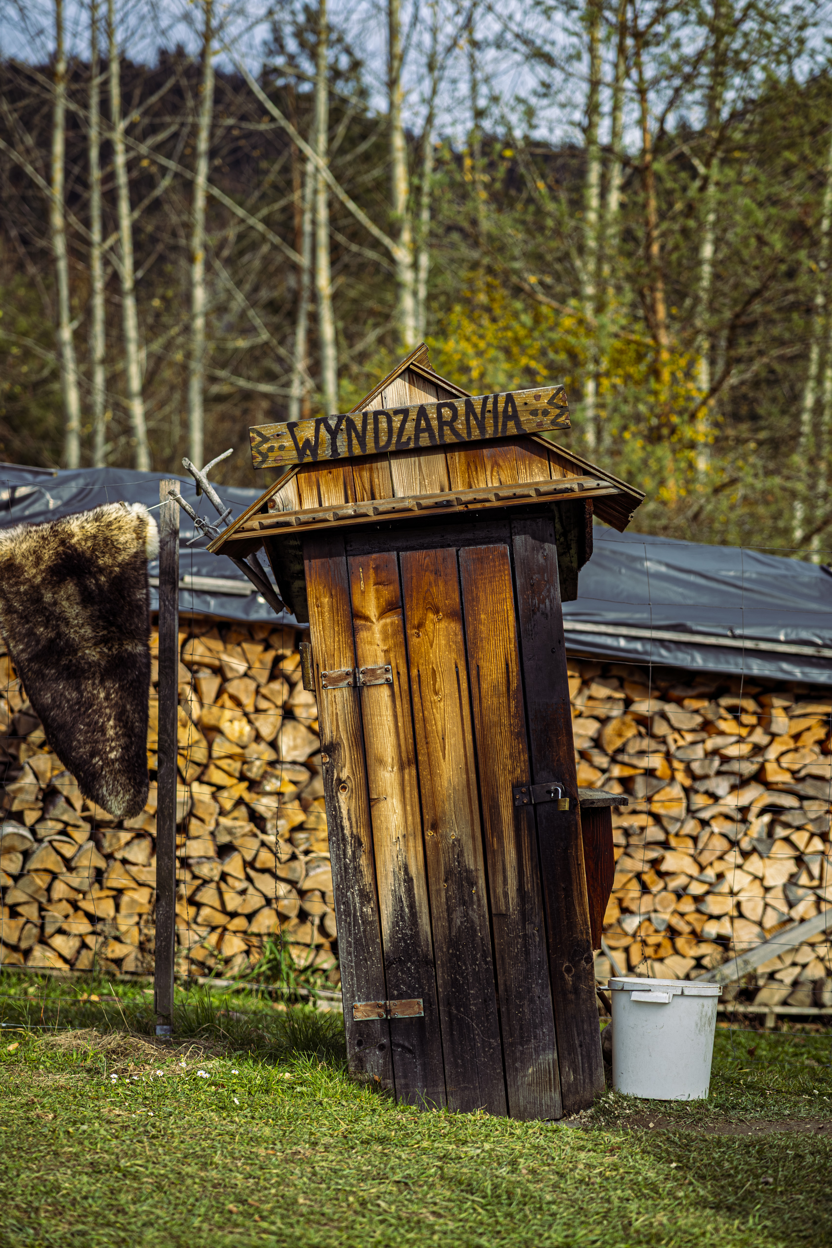
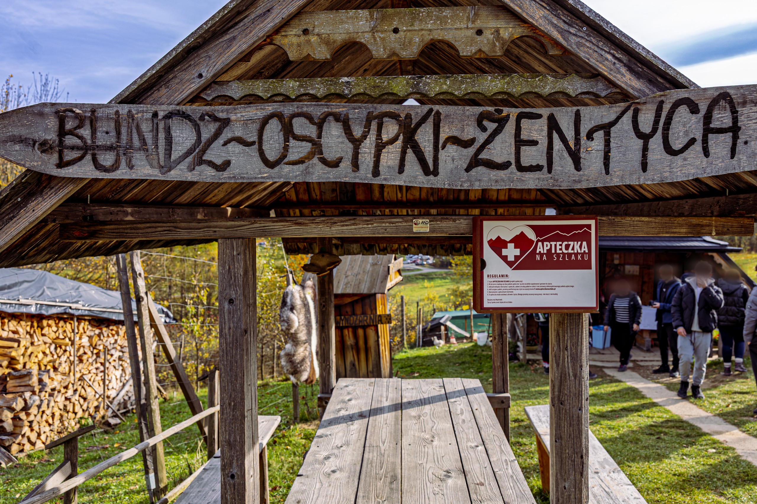
You could smell the smoke from the smokehouse from far away. Next to the hostel stands a shepherd’s hut selling sheep’s cheeses: bundz, oscypek, żentyca and even oscypek with cranberries. Bundz is fresh sheep’s cheese from which oscypek is made, and żentyca is the whey left over after making it. The highlanders drink it; tourists, it is said, usually try it only once. Oscypek, on the other hand, tastes just like the hut smells: salty and smoky.
Virginia Woolf wrote in A Room of One’s Own in 1929: “One cannot think well, love well, sleep well, if one has not dined well.” So an oscypek before the next stretch is not gluttony, it is literature.
Oscypek has its own law. Since 2008 it has been a Protected Designation of Origin in the European Union. It may be made only from May to September, from sheep’s milk with no more than 40 per cent cow’s milk, in wooden moulds with decorated edges, and it is smoked over pine or spruce wood.
The Slovaks have their own smoked cheese, oštiepok, and the EU registration of oscypek did not pass without their protest. It ended in a compromise: both cheeses live on as separate regional products, each on its own side of the border. And the border was already close, because from here Slovakia is just a walk down to the meadows and a footbridge over the Dunajec.
Across the Dunajec to Slovakia
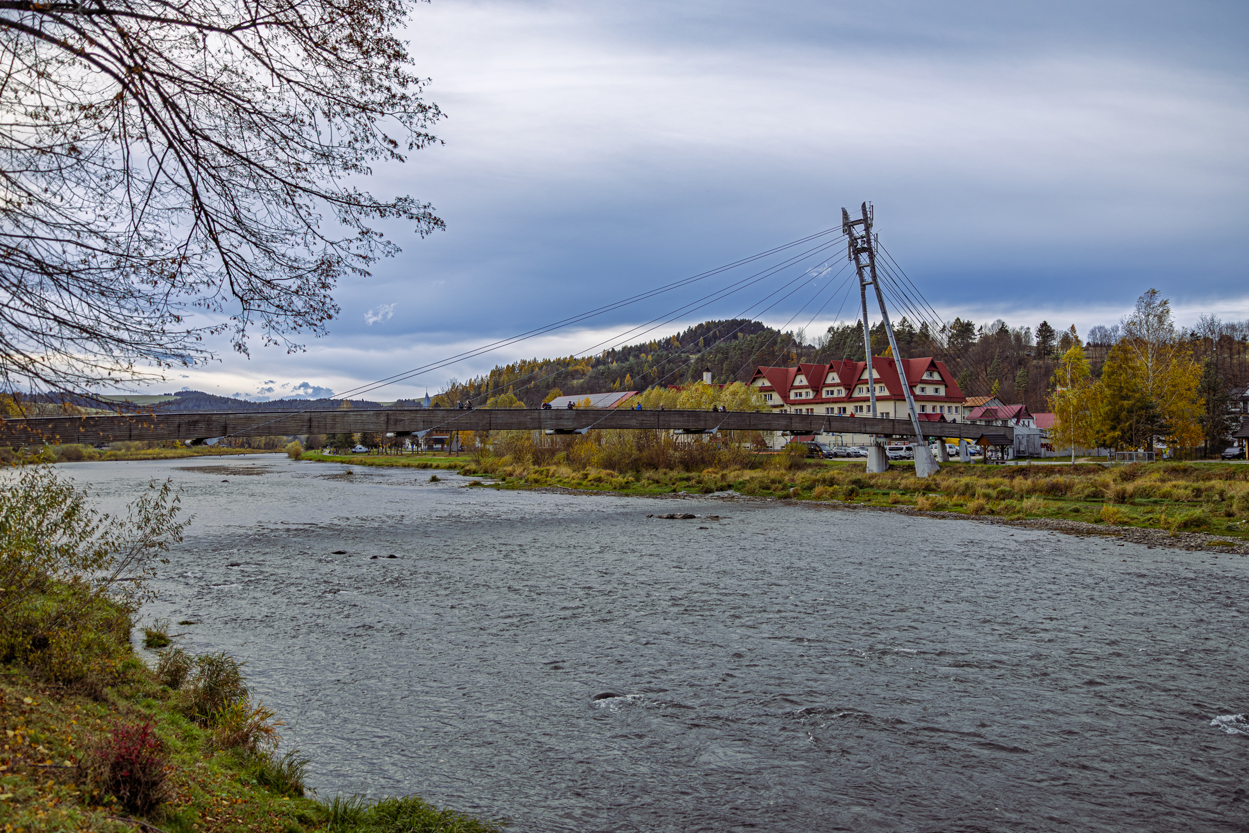
From Sromowce you can walk dry shod into another country. The footbridge for walkers and cyclists over the Dunajec to the Slovak village of Červený Kláštor was opened on 12 August 2006. Local people had campaigned for a crossing for almost a hundred years, and the village archive keeps the records of their efforts.
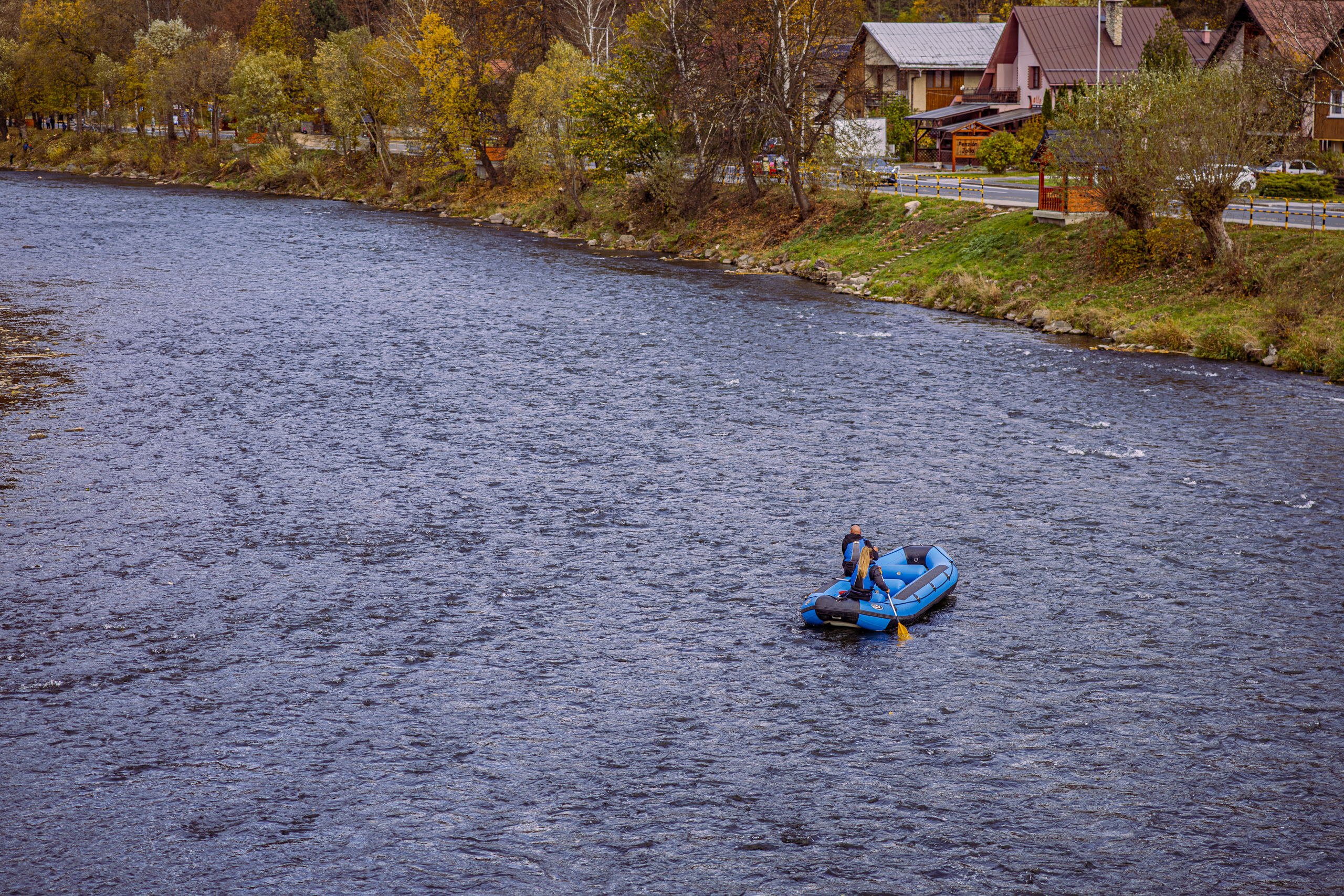
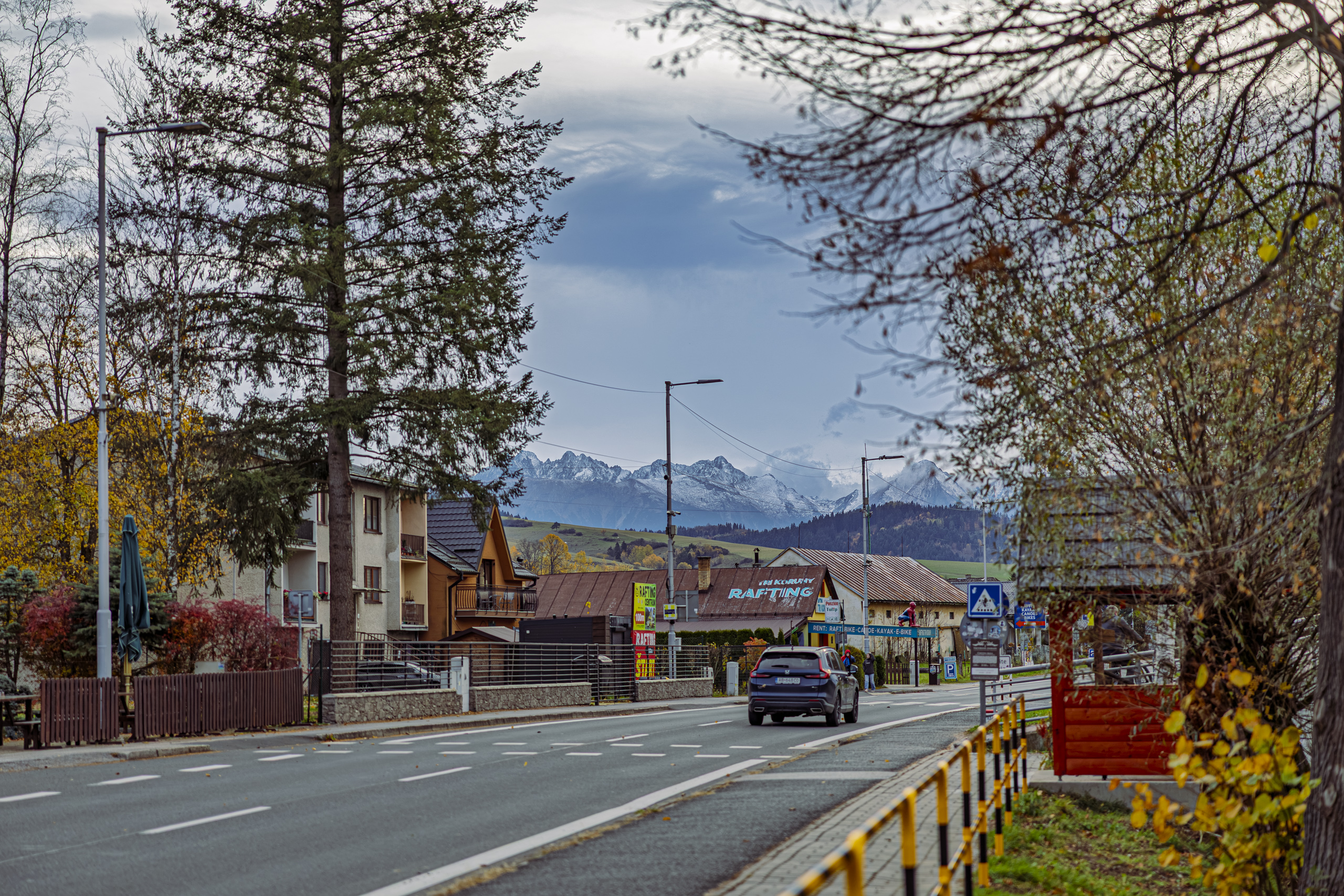
On the way you pass the raftsmen’s landing. Tourist rafting trips from Sromowce to Szczawnica began in 1832. Raftsmen once carried timber down the Dunajec; today they carry tourists on wooden rafts, up to twelve people on each. The signpost on the Szopka Pass says the landing is open from 1 April to 31 October, so we caught the last week of the season. The river was not empty, though: a pontoon was floating down it.
The footbridge is 150 metres long, with a main span of 90 metres. Its 3.5 metre wide deck hangs from cables strung from a single pylon. Since December 2007, when Poland and Slovakia joined the Schengen Area, nobody checks documents here. You cross the border somewhere above the middle of the river, with no barrier and no customs officer, with a view of the Three Crowns and the Dunajec rushing below your feet.
Heraclitus of Ephesus, the Greek philosopher, reportedly said that you cannot step into the same river twice. I say reportedly because we know that line second hand, from Plato, and the surviving words of Heraclitus himself put it differently: upon those who step into the same rivers, different and again different waters flow. None of us stepped into the Dunajec, but we crossed the footbridge twice. The water under it was different the second time.
The Red Monastery and the flying monk
The monastery was founded in 1319 by the Hungarian nobleman Kokosz Berzeviczy. According to tradition, it was penance for a killing. Construction began in 1330. At first the monastery was called Lechnica, after the surrounding land, and it owes the name Red to its red roof tiles. Carthusians lived here until the second half of the 16th century, and from 1711 Camaldolese monks, until 1782, when Emperor Joseph II dissolved the monastery.
In the park in front of the monastery stands a stone statue from 1768, two sided like a coin. At the front, the Holy Trinity: Christ with the cross, God the Father with the globe and, above them, a dove in a radiant glory. At the back, St John of Nepomuk holding a cross, and a cartouche with the date. What we see is a copy. The inscription on the plinth says it was made in 2011 in a conservation workshop in Levoča.
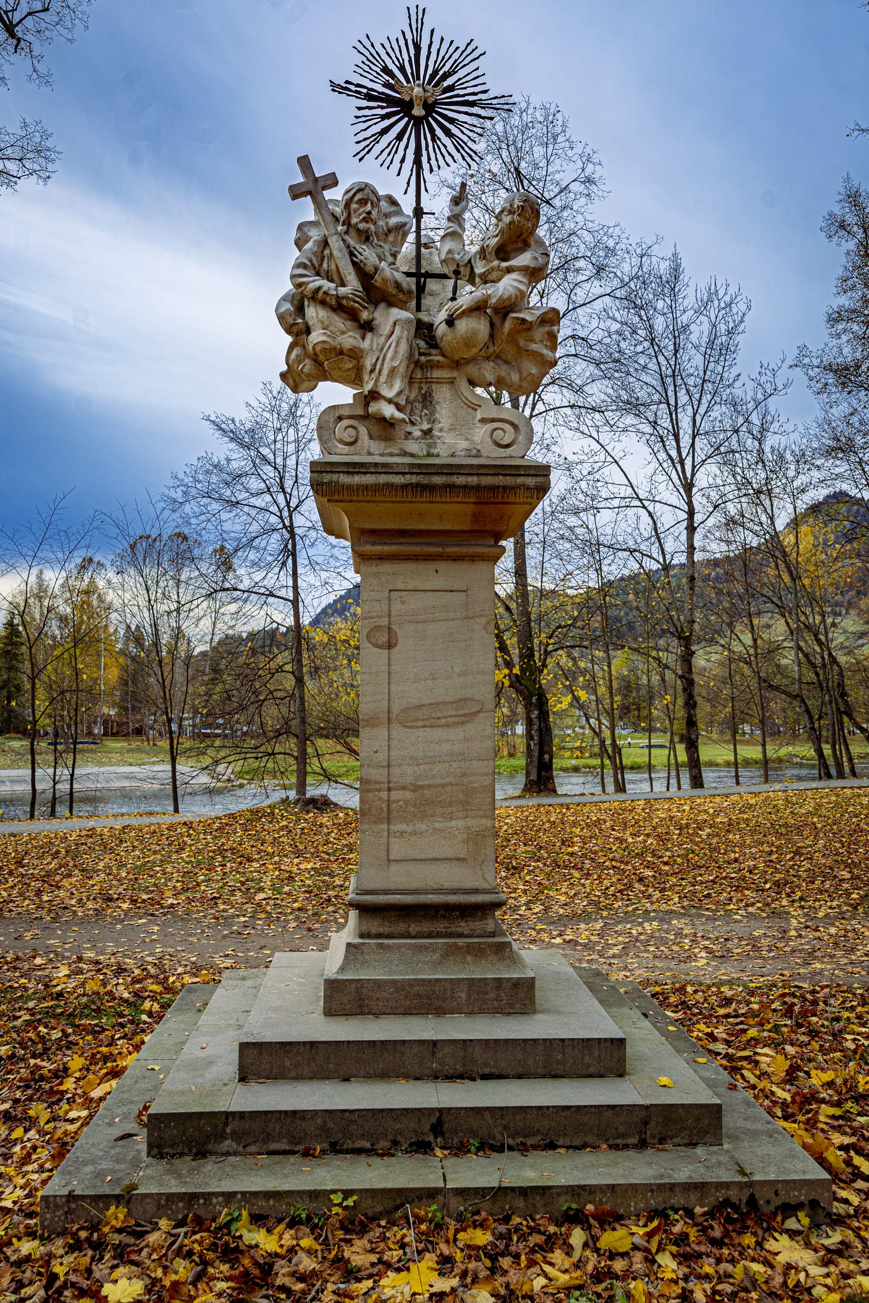
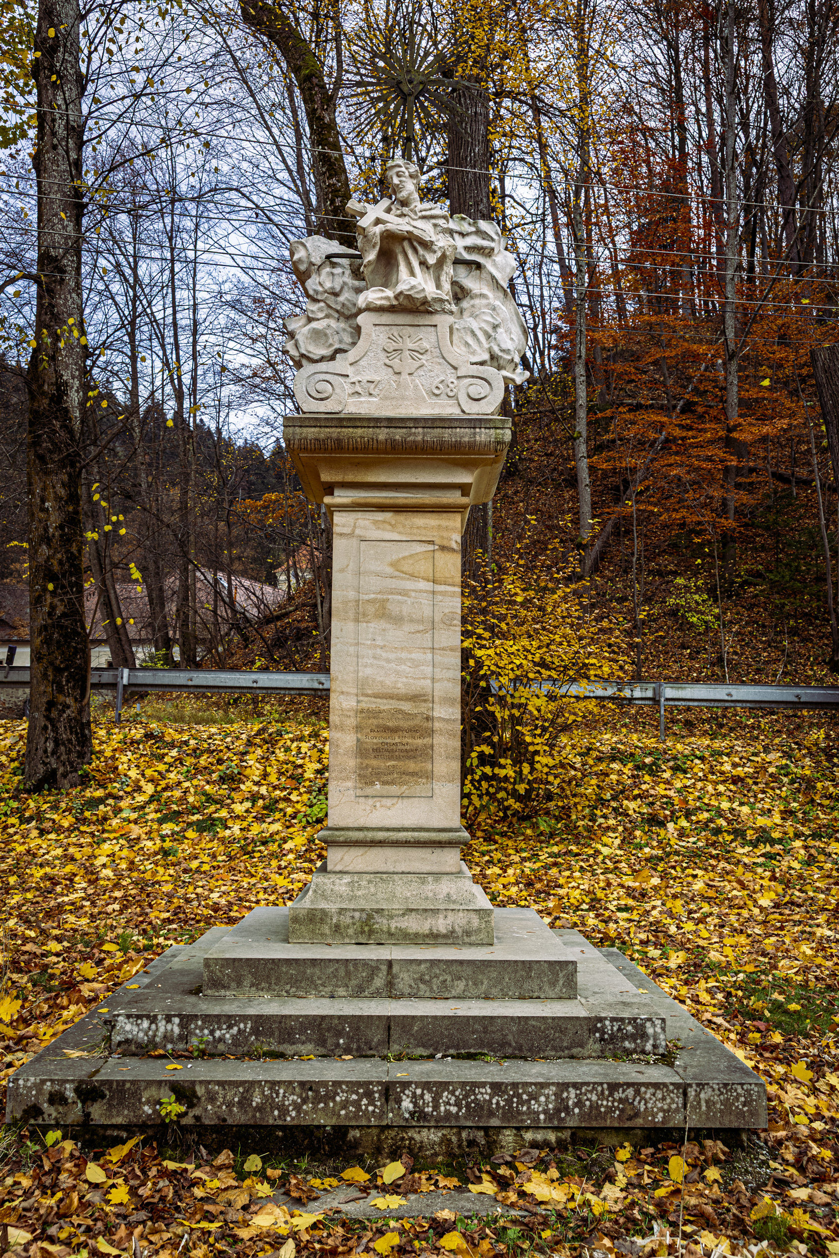
After the dissolution the monastery passed from hand to hand, and in 1907 the roofs and the church tower burned down. A thorough restoration lasted from 1952 to 1968. Today the monastery is a national cultural monument and houses a museum.
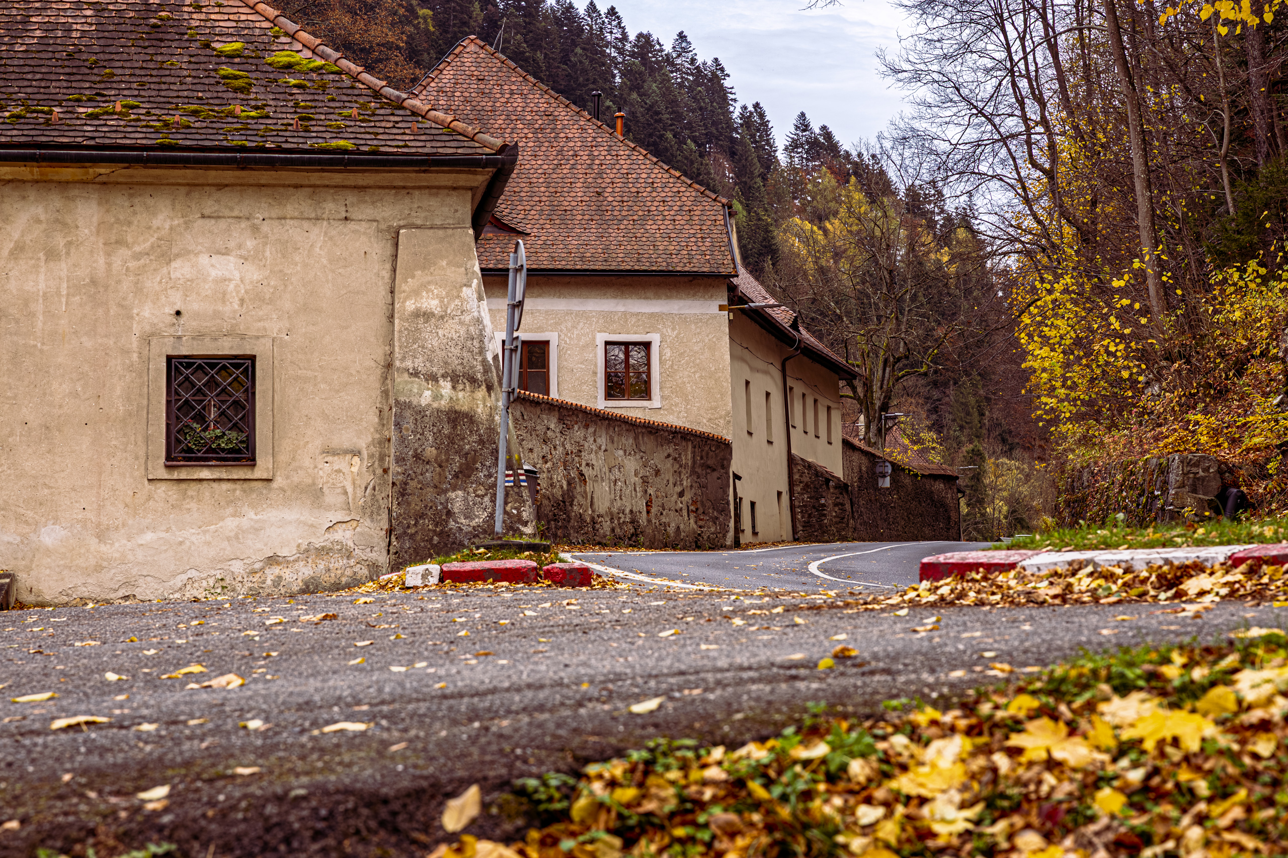
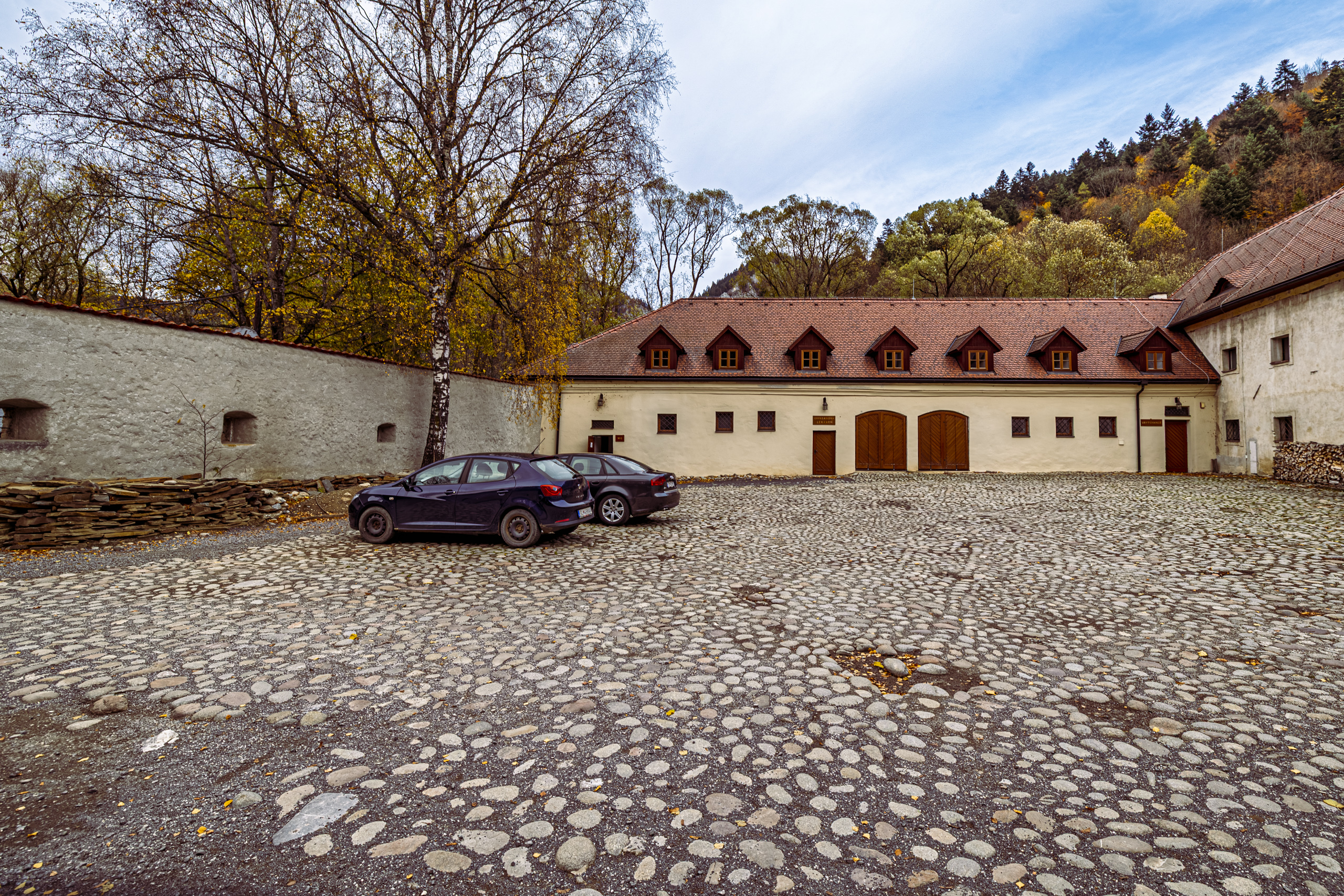
The monastery’s most famous resident was Brother Cyprian, a Camaldolese monk, born in 1724 in Silesia as Franz Ignatz Jäschke, who died in 1775. He was a physician, barber surgeon and apothecary. He left a herbarium of nearly three hundred plant species from the Pieniny, now kept by the museum in Tatranská Lomnica. For the 300th anniversary of his birth the National Bank of Slovakia struck a collector’s coin. Legend says he built himself wings, what we would call a glider today, and flew off the Three Crowns. In one version he flew all the way to the Tatras and above the Morskie Oko lake turned into a rock that is still called the Monk. Walking back down from Okrąglica on foot, it is hard not to envy him.
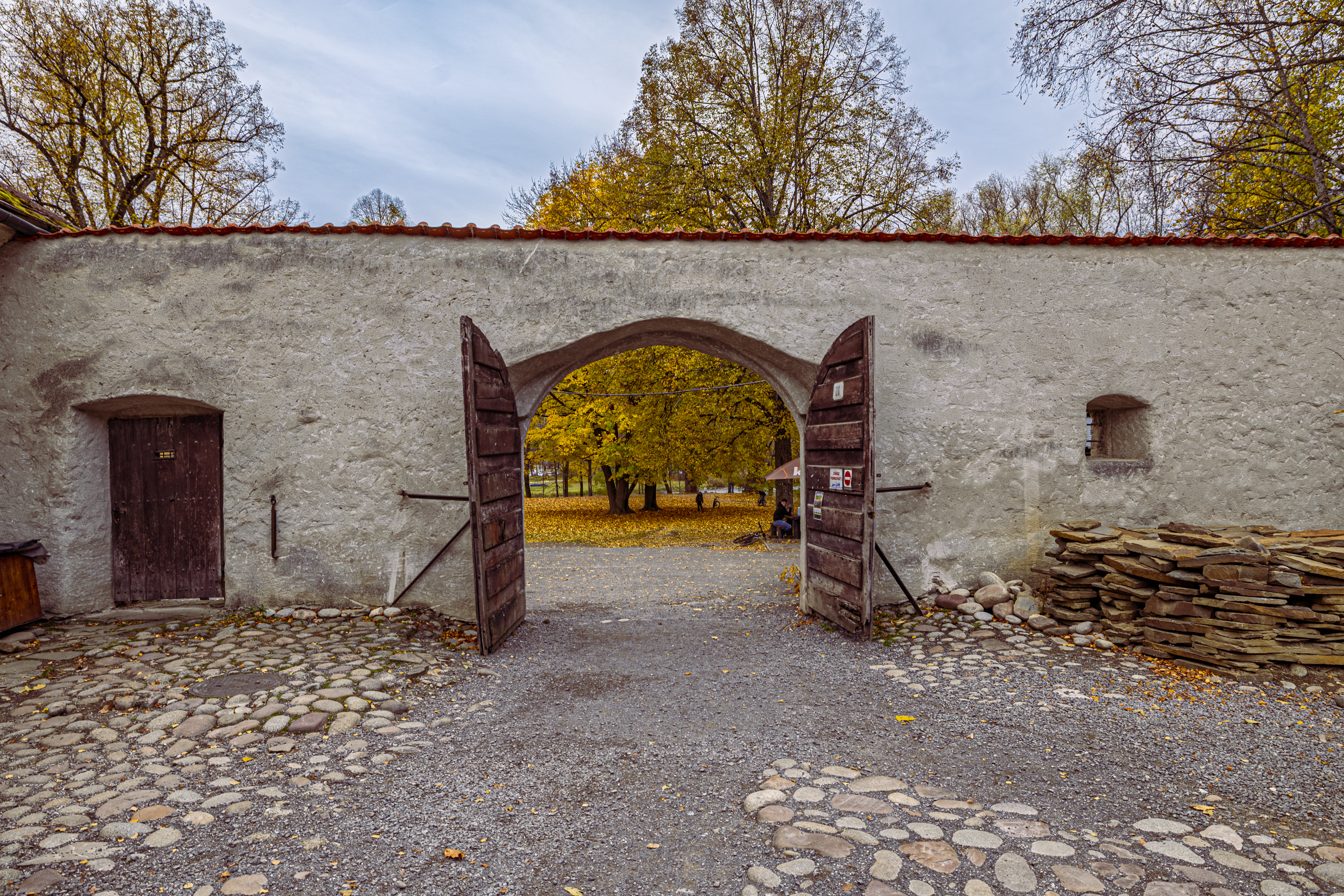
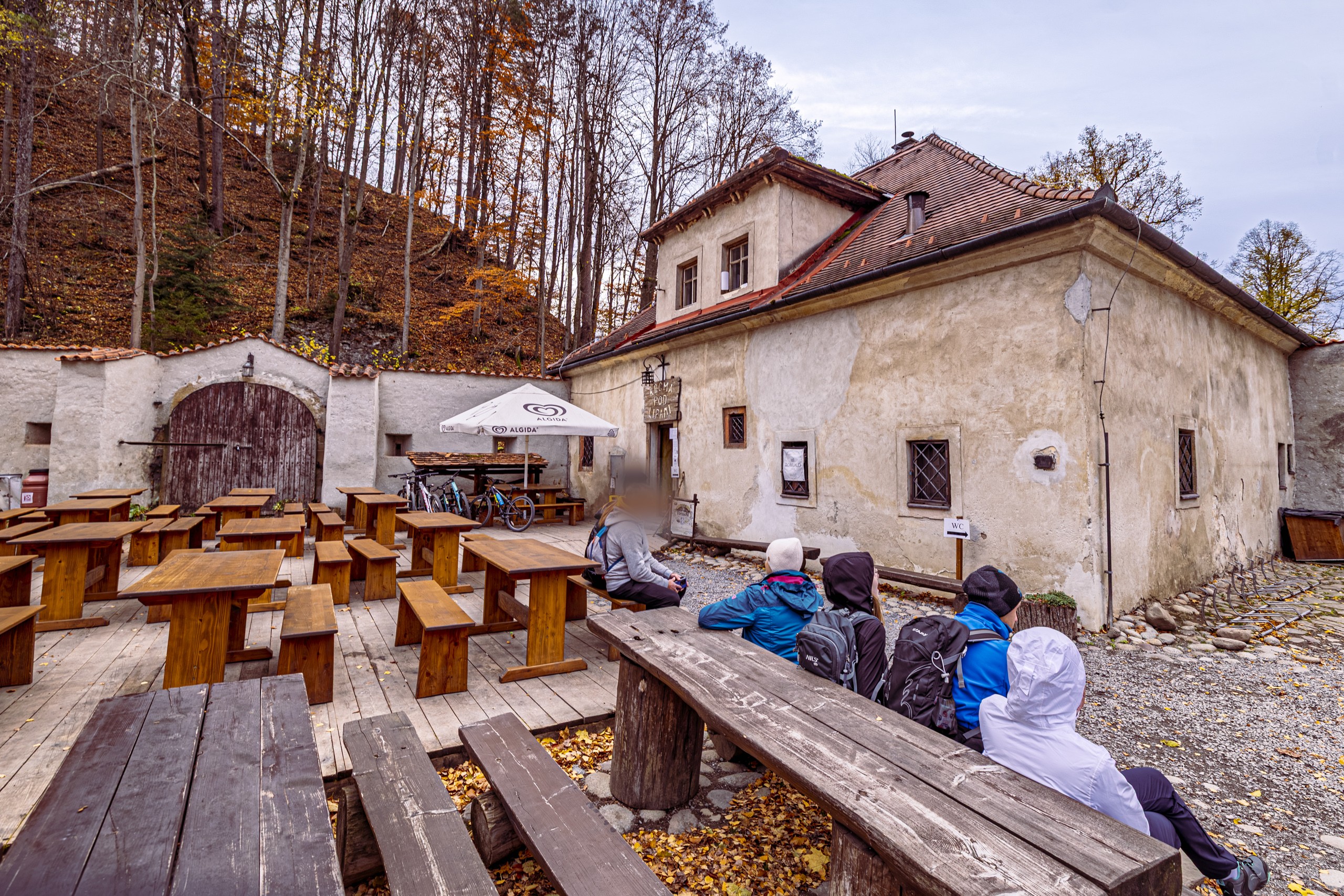
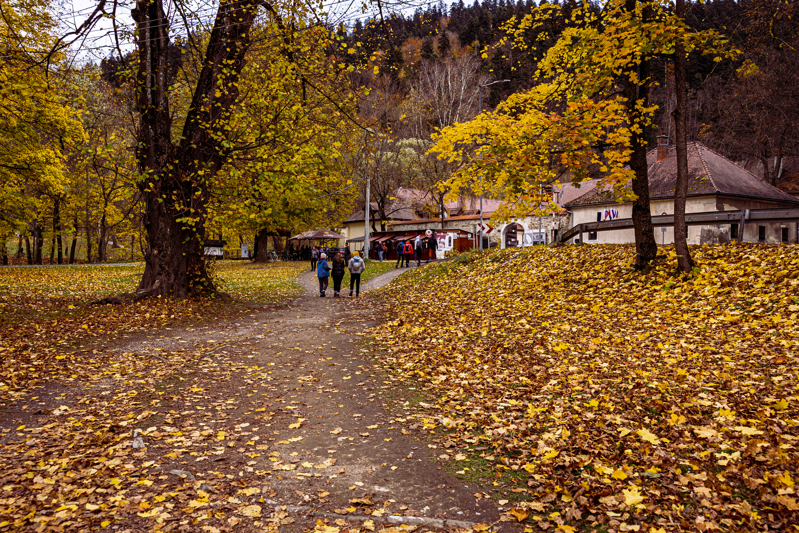
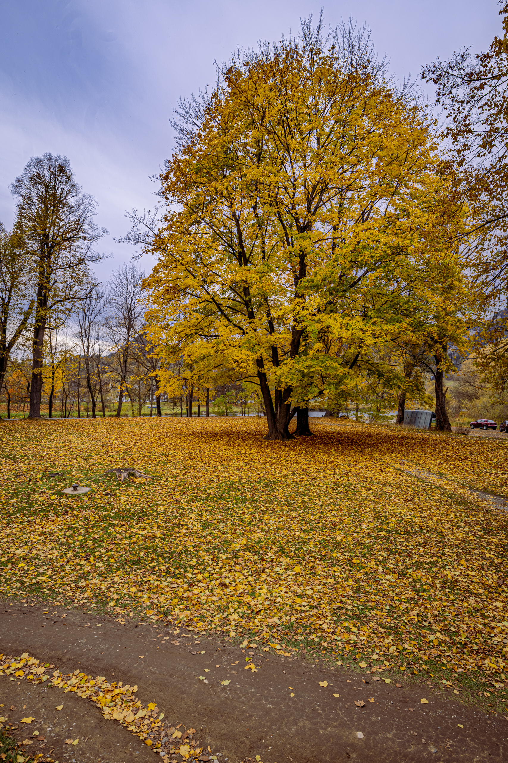
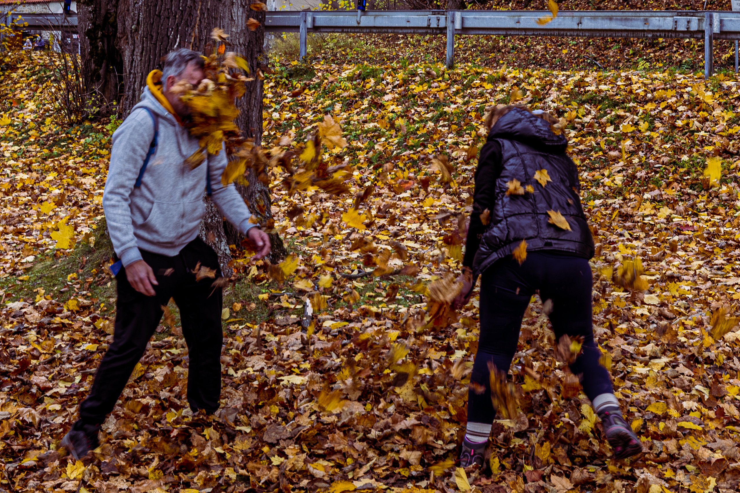
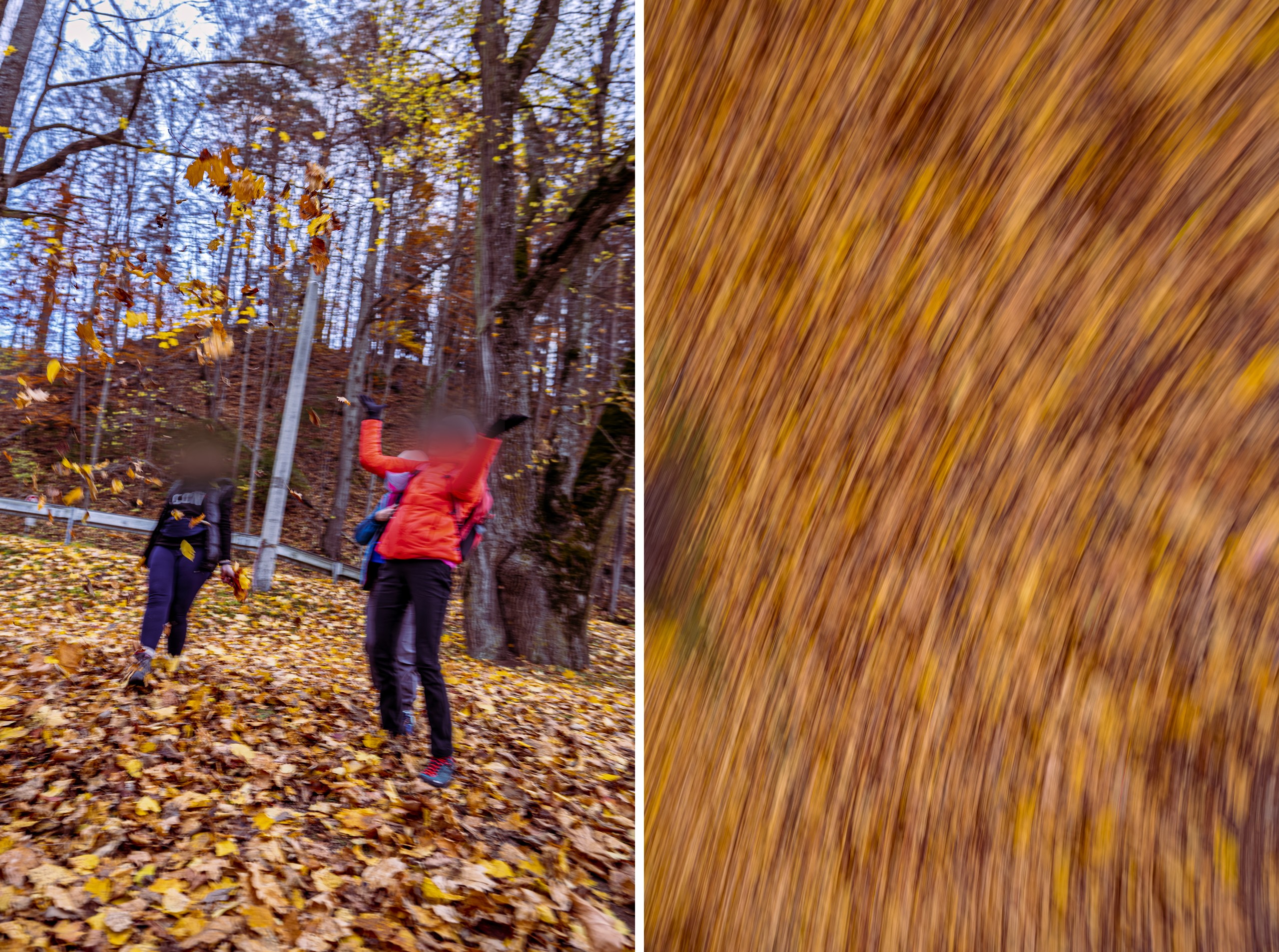
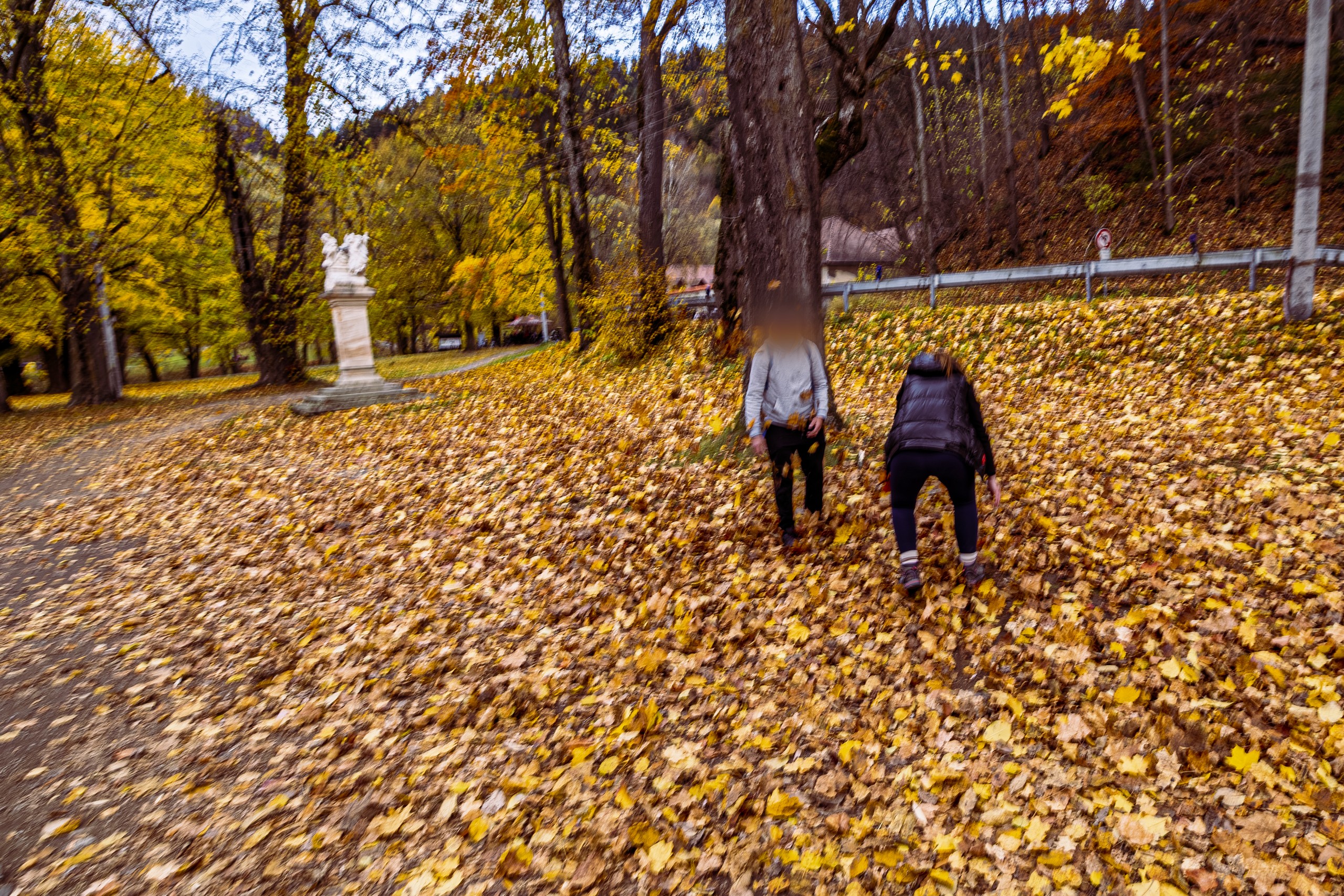
In the park the leaves lay in a thick layer. Just across the border, seriousness apparently stays on the Polish side, because grown adults started pelting each other with them, with no rules and no winners, and the rustle carried across the whole park. What happens in Slovakia stays in Slovakia. Unless someone has a camera.
The way back
From the Slovak bank you see the Tatras and the Three Crowns from a side people rarely look at them from.
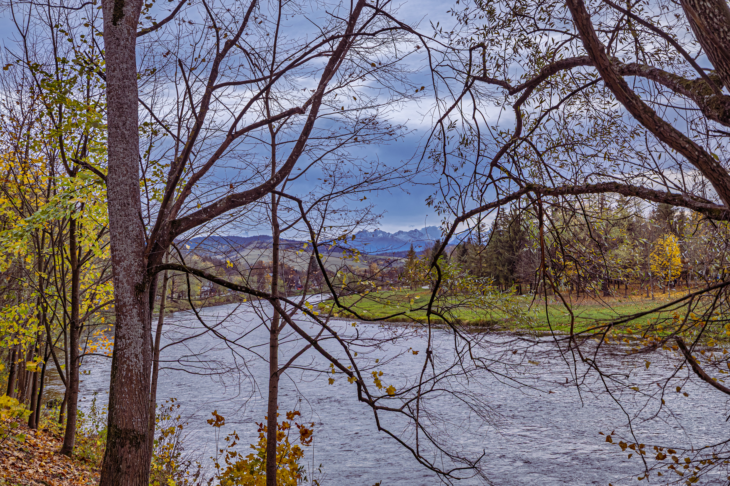
On this side of the Dunajec lies the Slovak Pieniny National Park, PIENAP for short. A protected area was created here in 1932, together with the Polish park, and the national park in 1967. It is larger than the Polish one, and its highest point is Wysoka, Vysoké skalky in Slovak, the highest peak of the Pieniny, right on the border. The highest point of the Polish park, on the other hand, is the Three Crowns, so you could call it a draw.
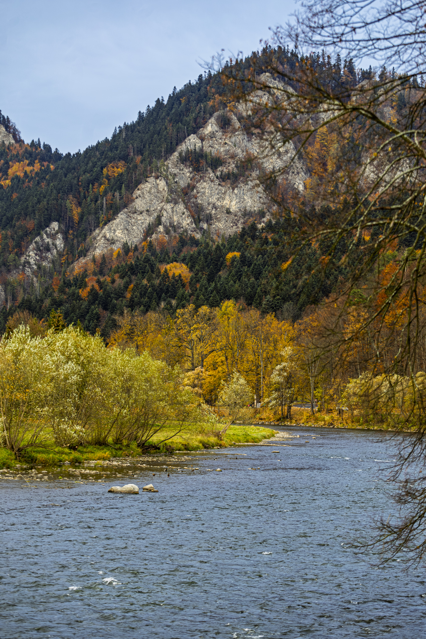
We walked back to the footbridge along the road by the Dunajec, in no hurry. The German philosopher Friedrich Nietzsche wrote in Twilight of the Idols in 1888 that all truly great thoughts are conceived while walking. We leave the great thoughts to the philosophers; for us it was enough that the walking was easy and nobody was in a rush.
The Tatras showed themselves once more to say goodbye, above the trees and roofs, with scraps of cloud caught on the peaks. This time clearly, in all their size and pride, as if to say: “Goodbye. Today you are in the Pieniny, so admire the Pieniny. But do come and see us soon.”
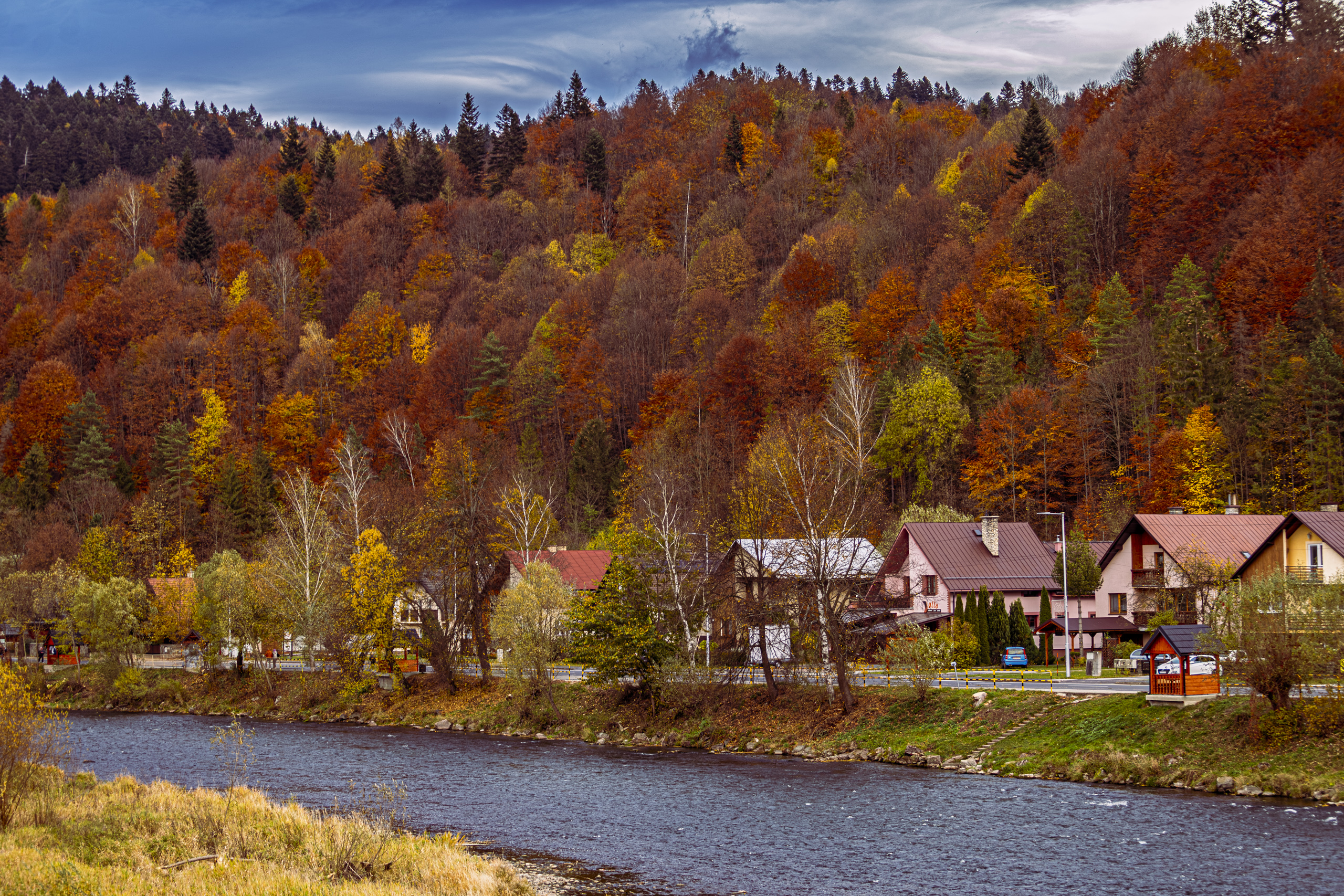
We crossed the footbridge back to Poland. The loop closed where it had begun: under the rocky crown that is called three and has five teeth. T.S. Eliot, the American born poet who settled in England, wrote in Little Gidding, the last of his Four Quartets, that the end of all our exploring will be “to arrive where we started / And know the place for the first time”. After our return the crown seemed to look a little different than in the morning. Jan Nepomucen Rostworowski wrote in 1831 that whoever had once come to know these places would carry their image engraved in memory forever. Just in case, we also have the photos.
The Praise Be to God pass reportedly got its name from a cry of relief after the climb. It fits the end of the day just as well: for the sunshine, for the views and for everyone coming back in one piece, although the knees kept their own opinion to the very end. Praise be to God.
Route, 25 October 2026
From Sromowce Niżne on the yellow trail to the shrine of St Gianna Beretta Molla, on the green trail to the Kosarzyska clearing, on the blue trail to Okrąglica (982 m), then via the Szopka Pass (Chwała Bogu, 779 m) and on the yellow trail through the Szopka Gorge to the PTTK “Trzy Korony” mountain hostel. From there over the footbridge across the Dunajec to Červený Kláštor in Slovakia, and back over the same footbridge.
The climb to the Three Crowns and the whole mountain section of the route follow trails of the Pieniny National Park.
Practical information
In season, access to the Okrąglica platform is paid, and the ticket is also valid the same day on Sokolica. Dogs are not allowed on the park’s trails. The footbridge over the Dunajec is for walkers and cyclists only. Take an identity card or passport to Slovakia: there are no checks, but you must carry a document. The raftsmen’s landing in Sromowce Niżne is open from 1 April to 31 October.